
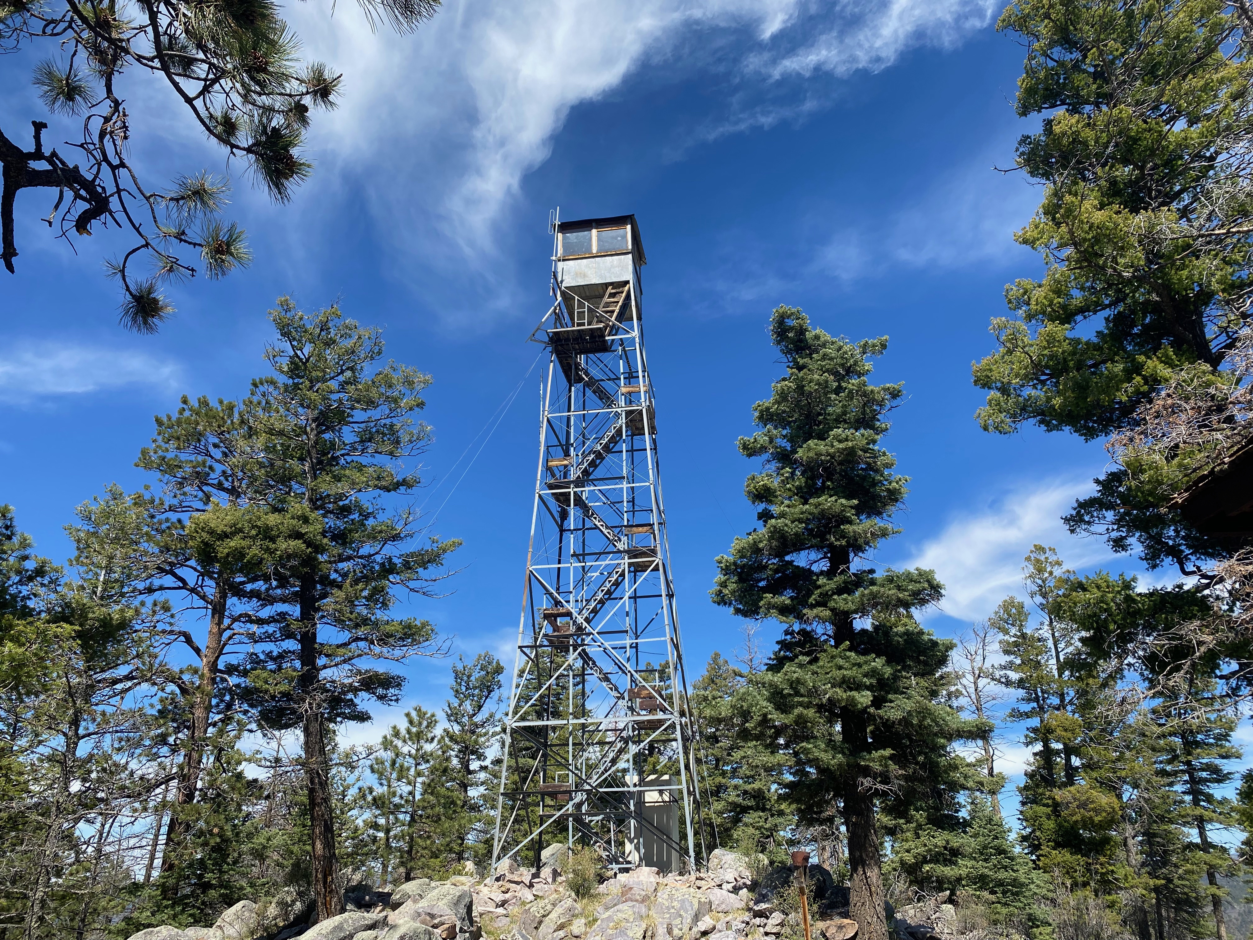
What a treat to find such a beautiful fire lookout tower on a summit with no communications infrastructure!
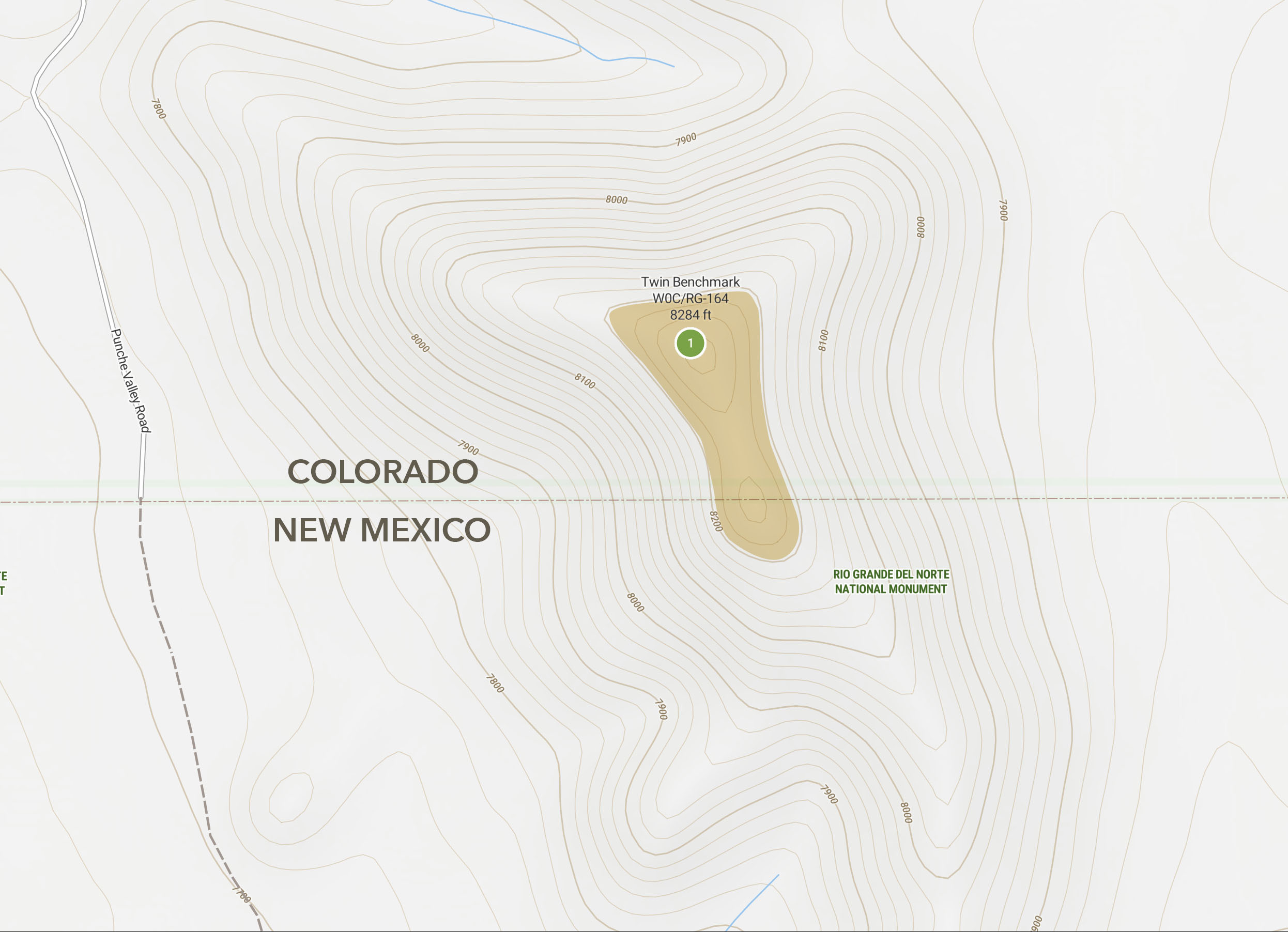
24 MAY 2025 W5N/OT-014

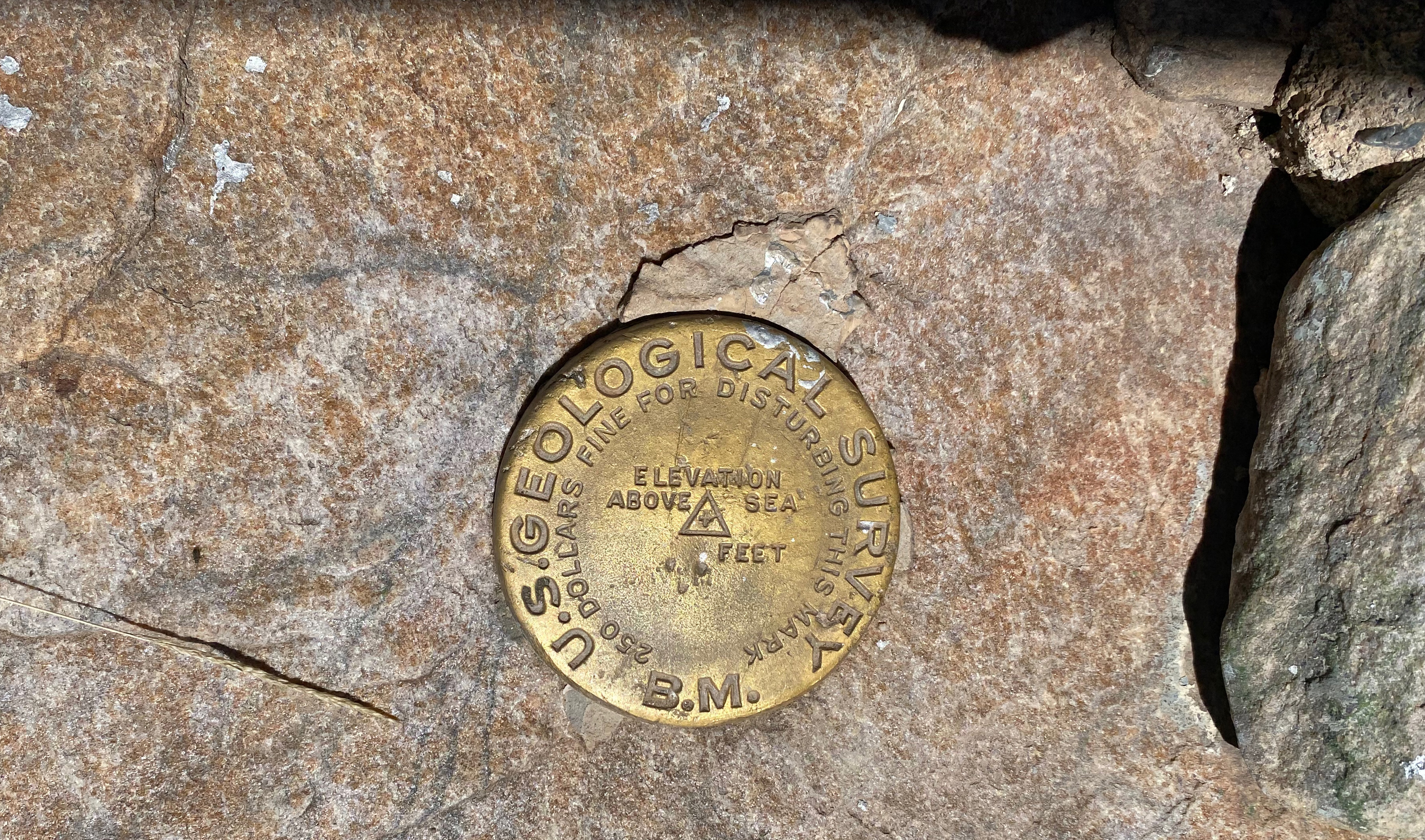
| Elevation: | 9,734′ |
| Route: | Dirt road |
| Hike Distance: | 1.2 miles round trip |
| Elevation Gain: | 600′ |
| Navigation: | Easy |
| Steepness: | Gentle |
| Vehicle: | High clearance suggested |
| Road: | Good dirt road* |
| Cell Coverage: | Good Verizon |
What a surprise treat this summit turned out to be! I wasn’t even going to activate anything on this Memorial Weekend Saturday when at the last moment my chores evaporated and Cassie KG6MZR said “Go!”
This was my 200th SOTA unique activation and Kiowa was a fitting prize.
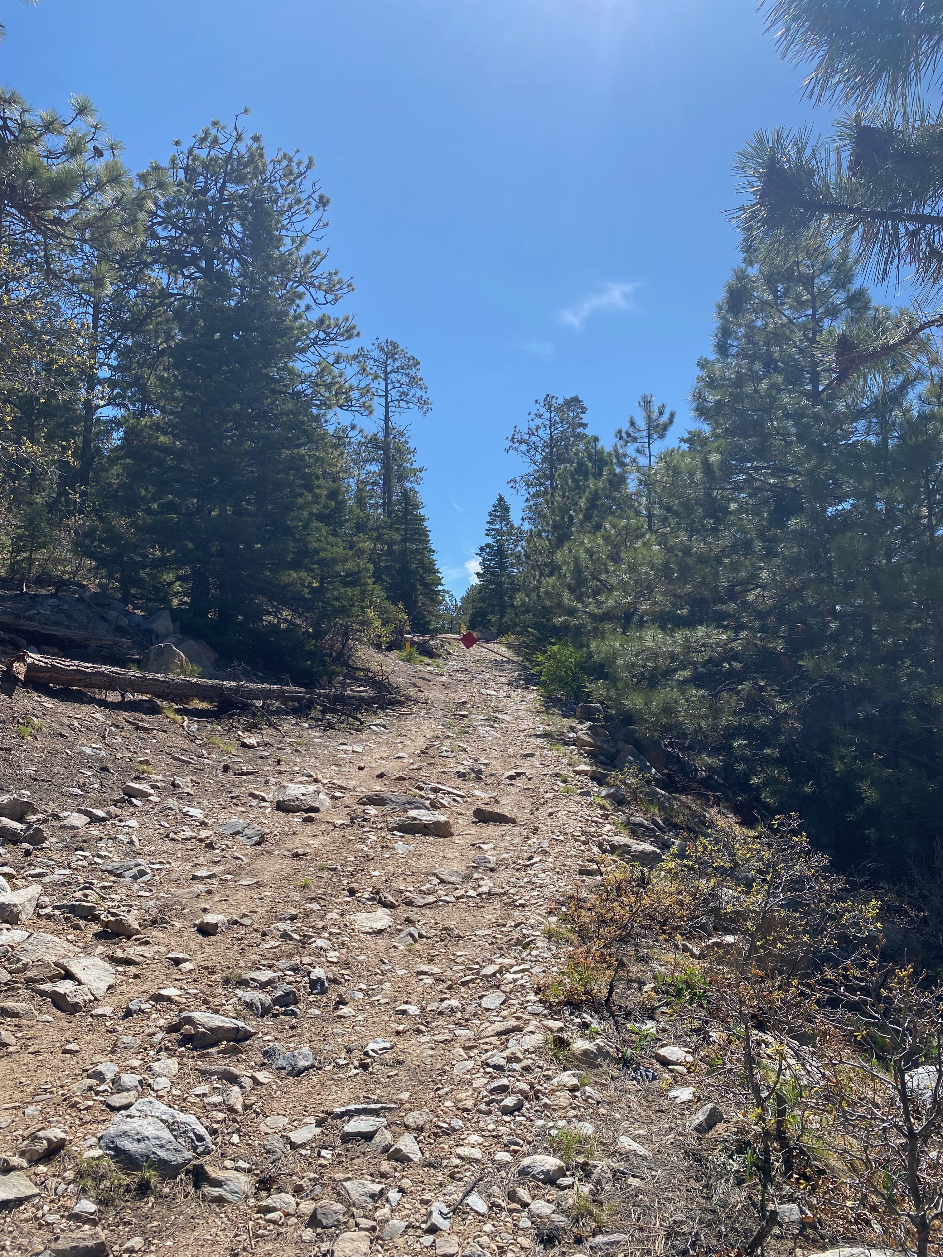
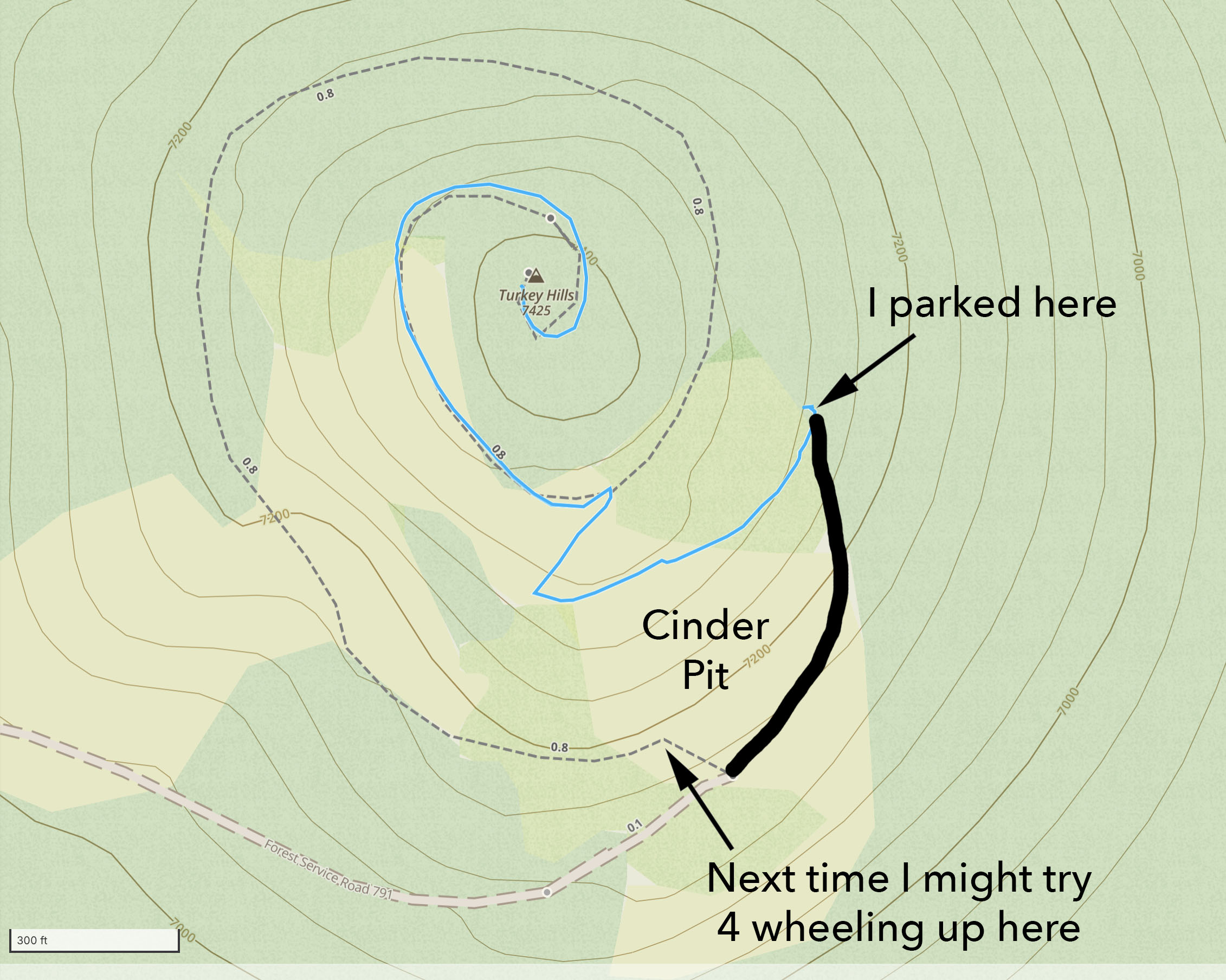
As Don AC7P mentioned in SOTA Data, the approach drive from the south is a better road – especially if conditions are less than dry. This road was a little bumpy but an intrepid passenger car driver should have no trouble with everything up until the last bit – FS Road 110a – and even that wasn’t too bad until the end. The gate was locked and it looks like it has been for quite a while. Here is my driving route off of State Road 111
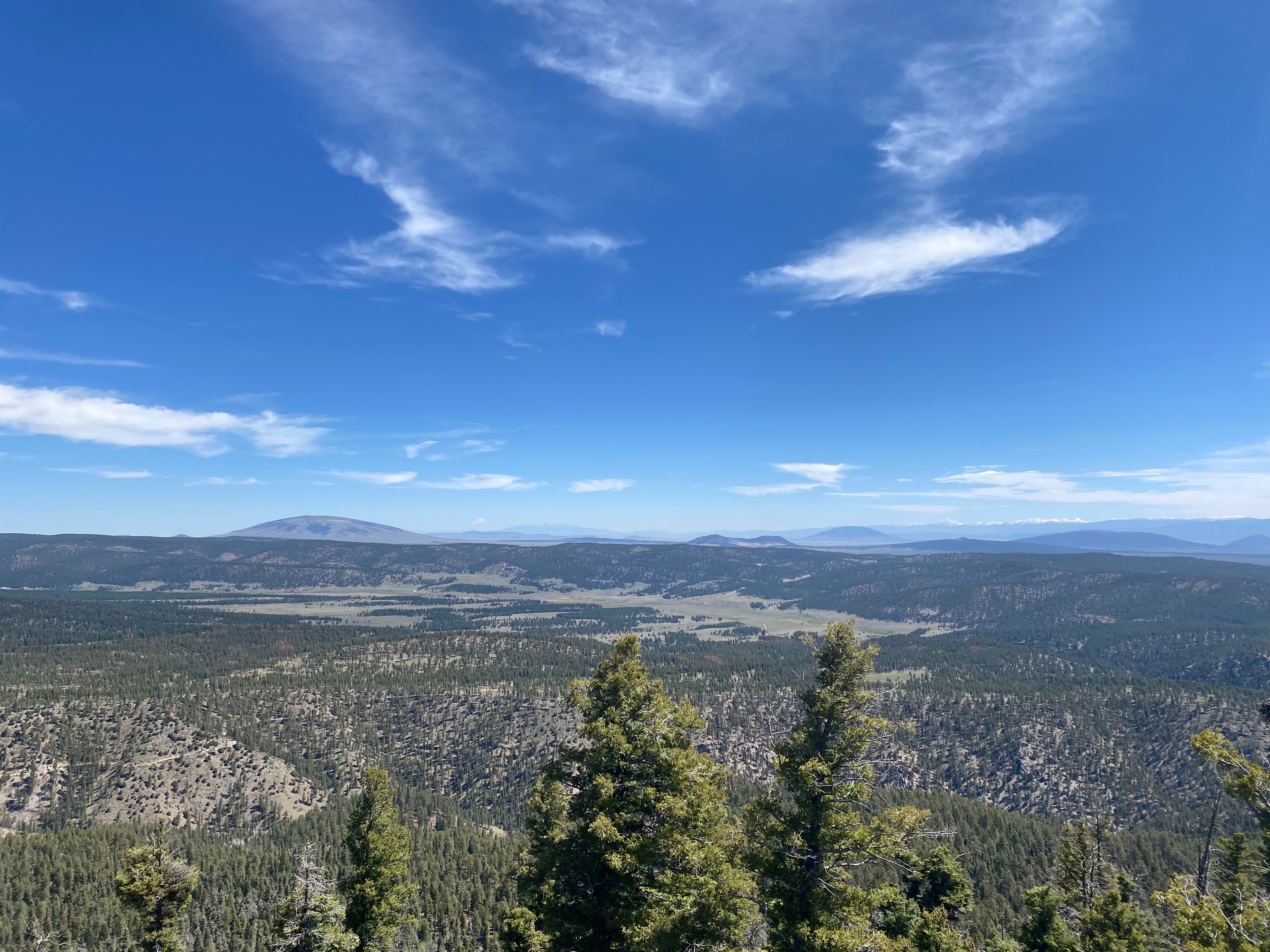
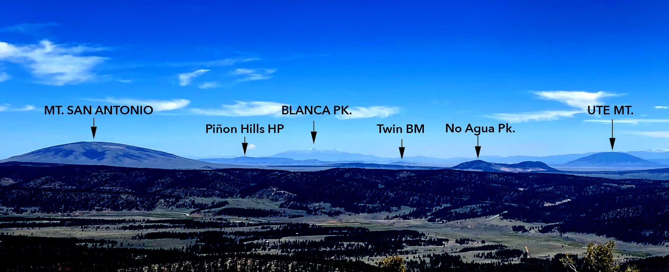
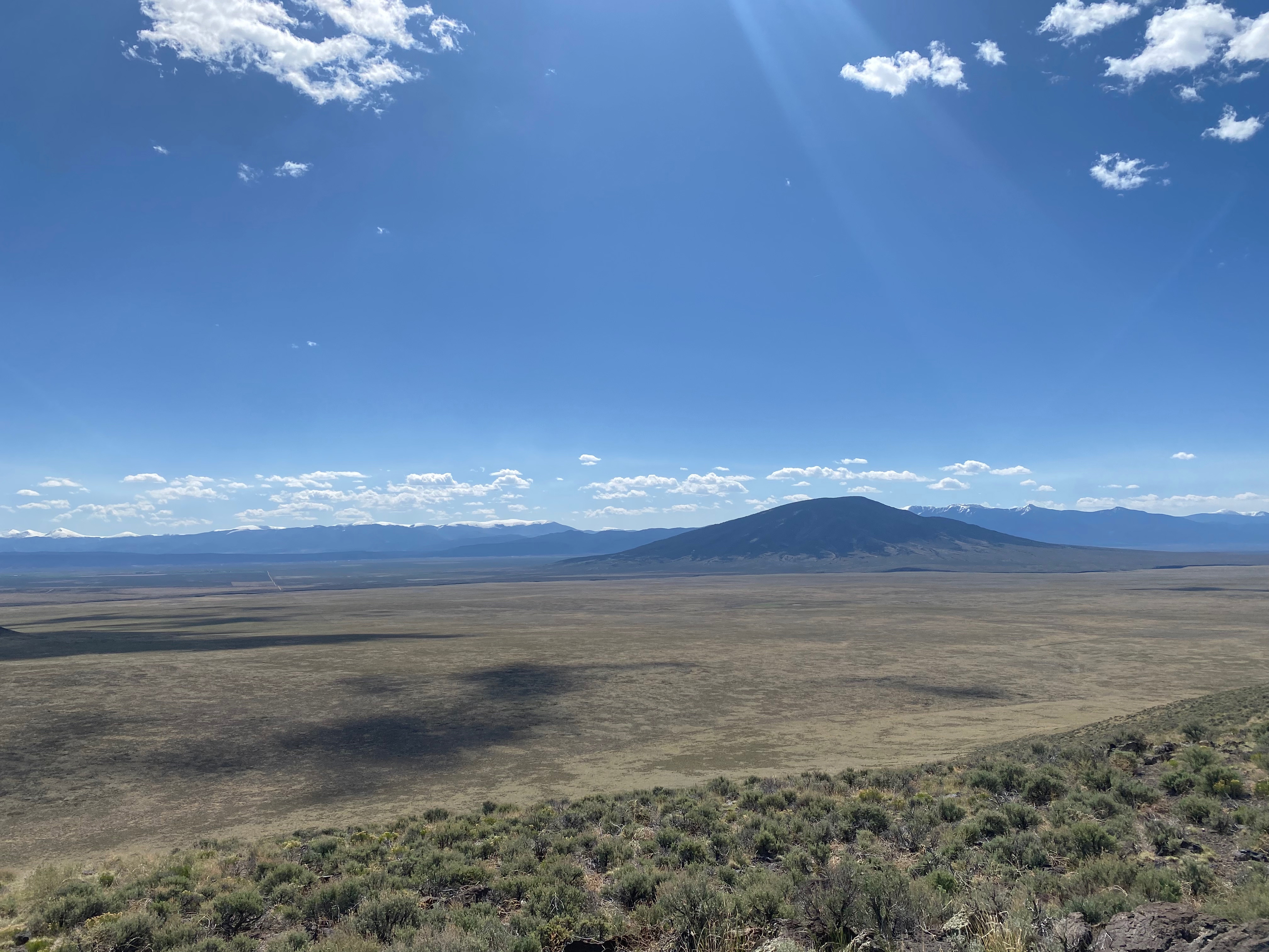
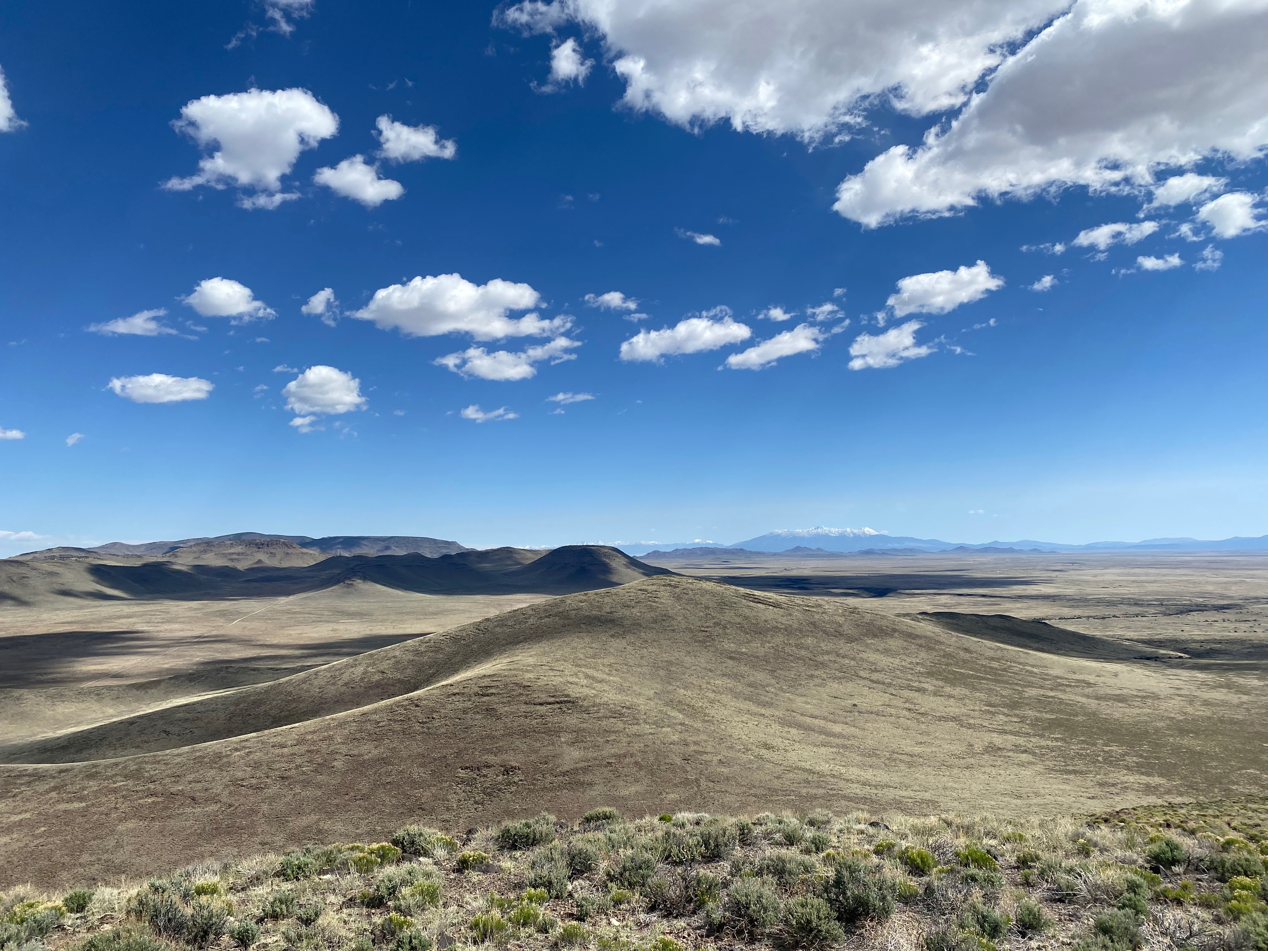
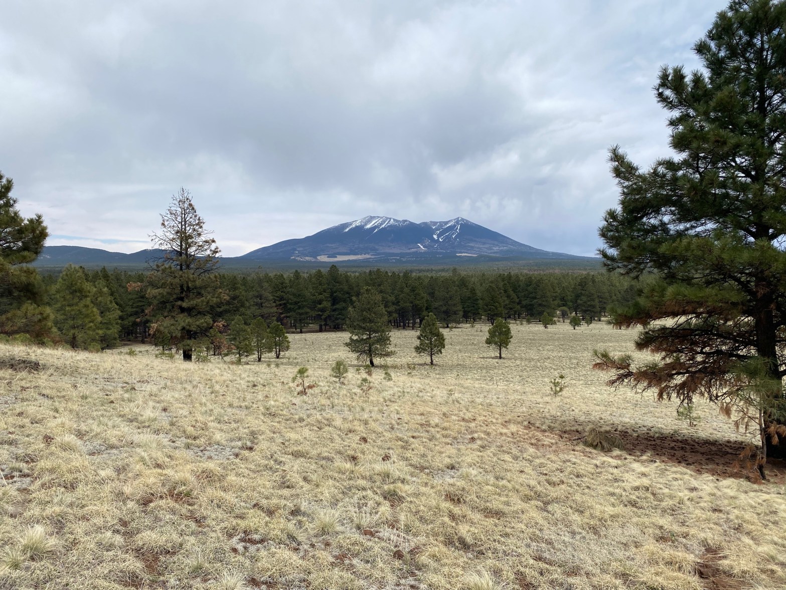
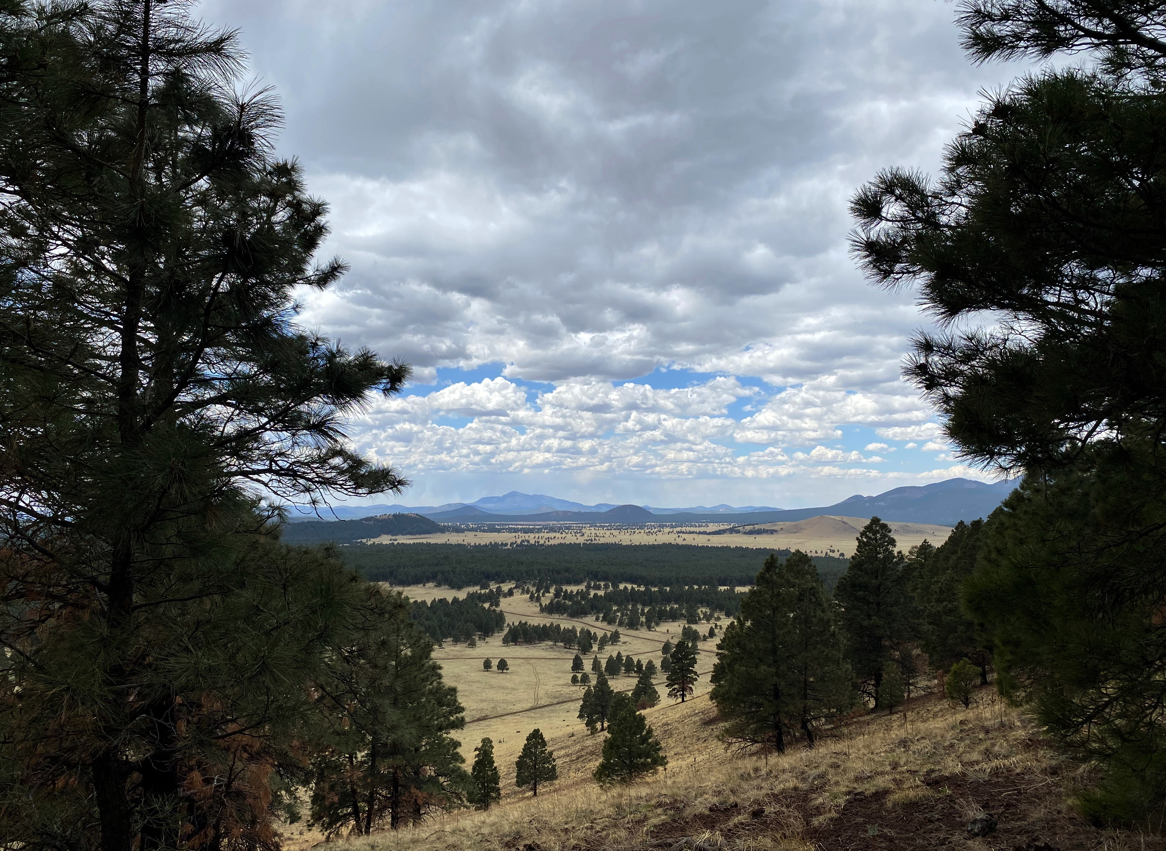
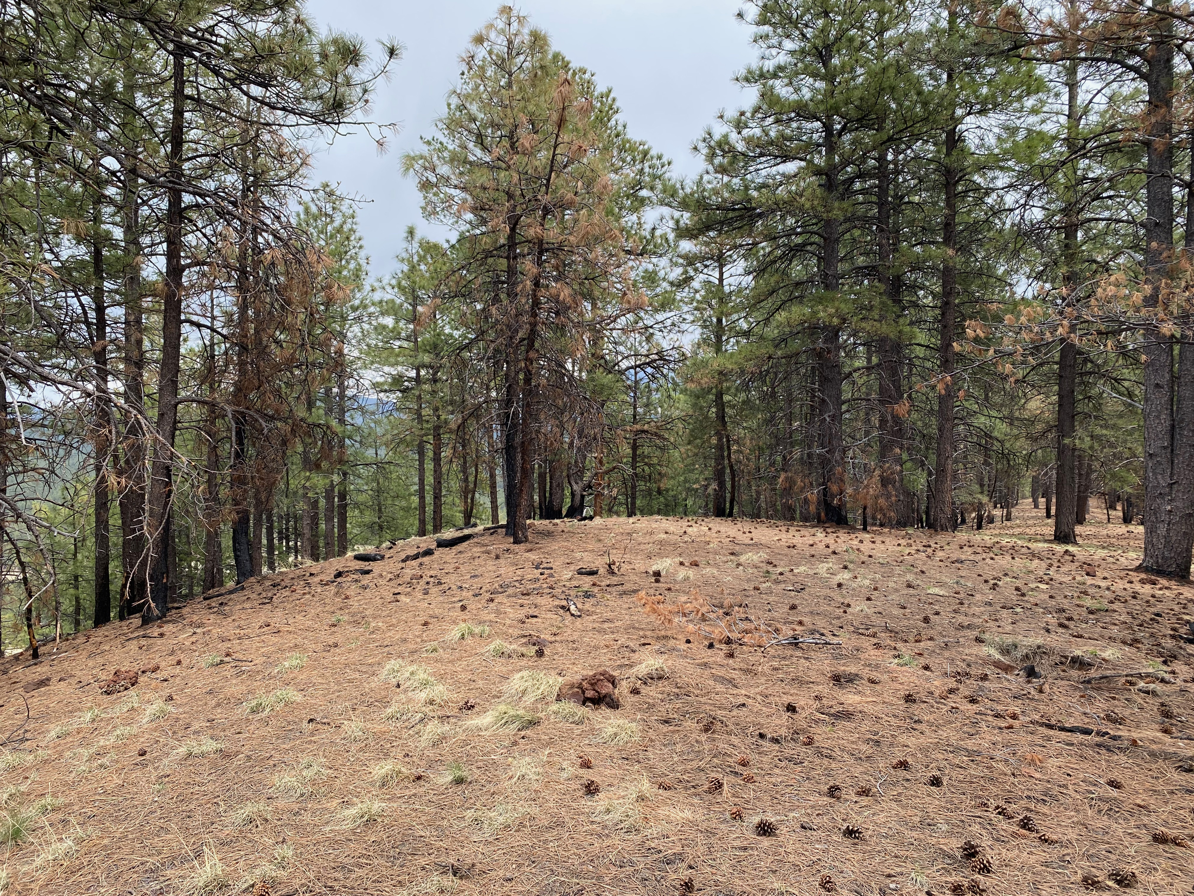
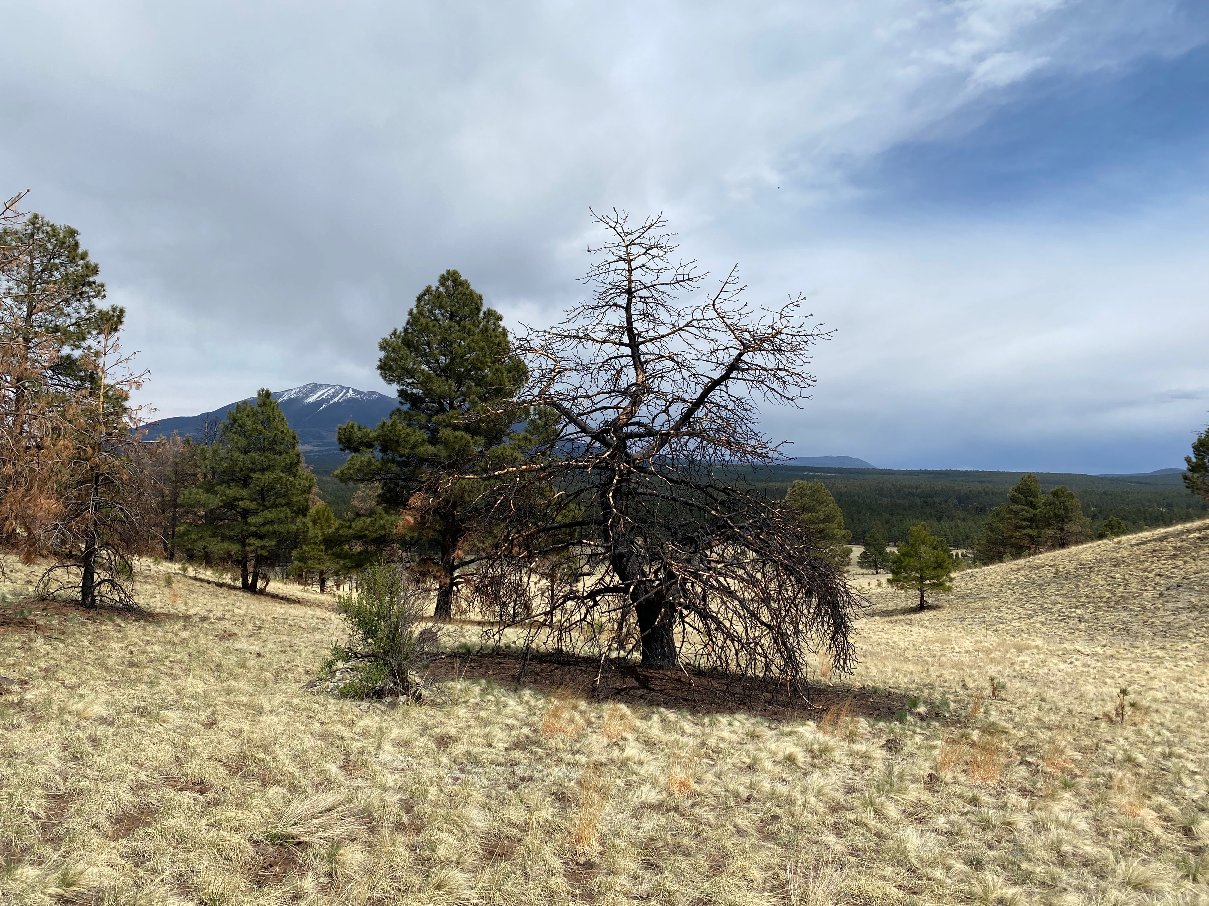
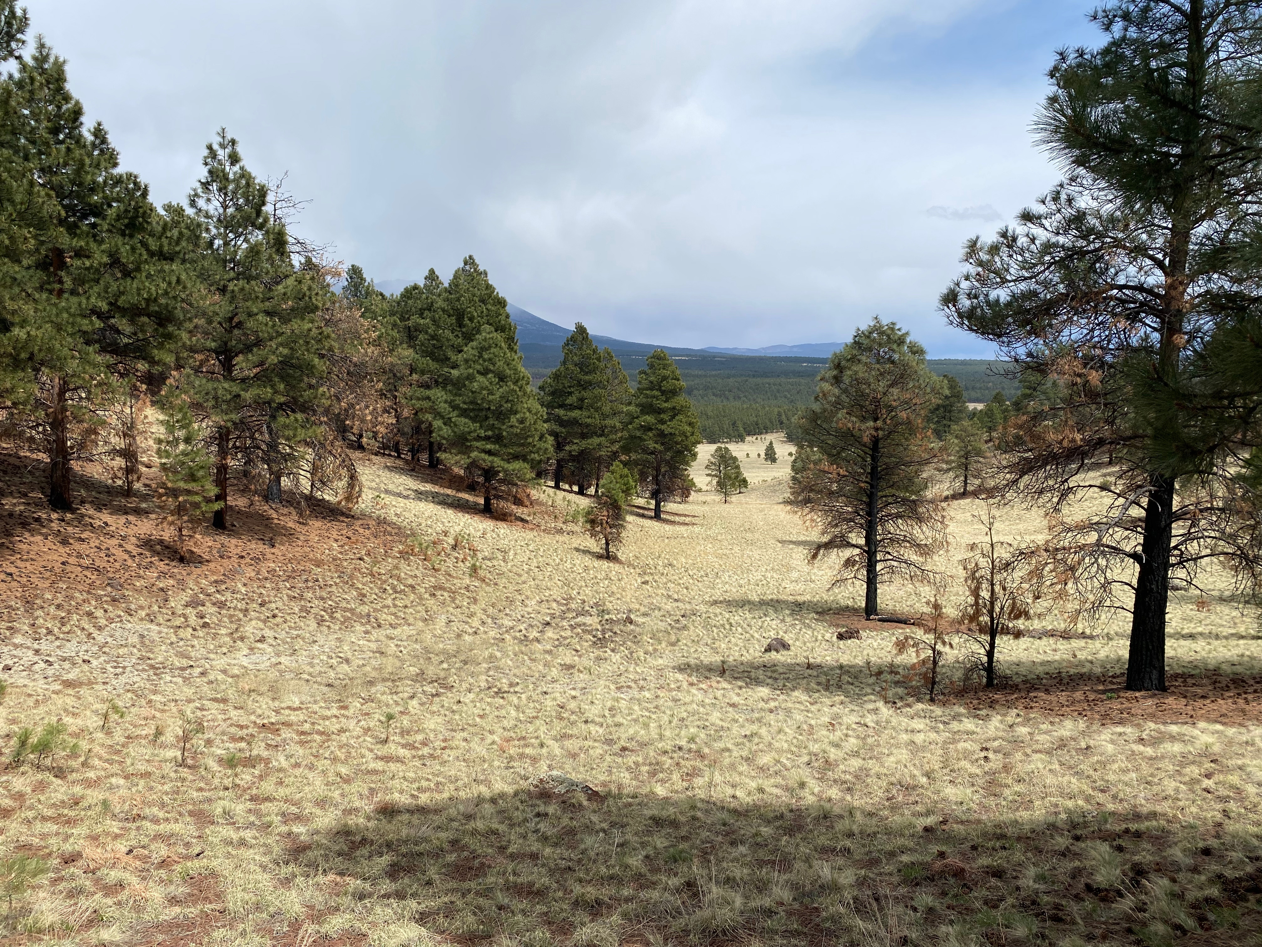
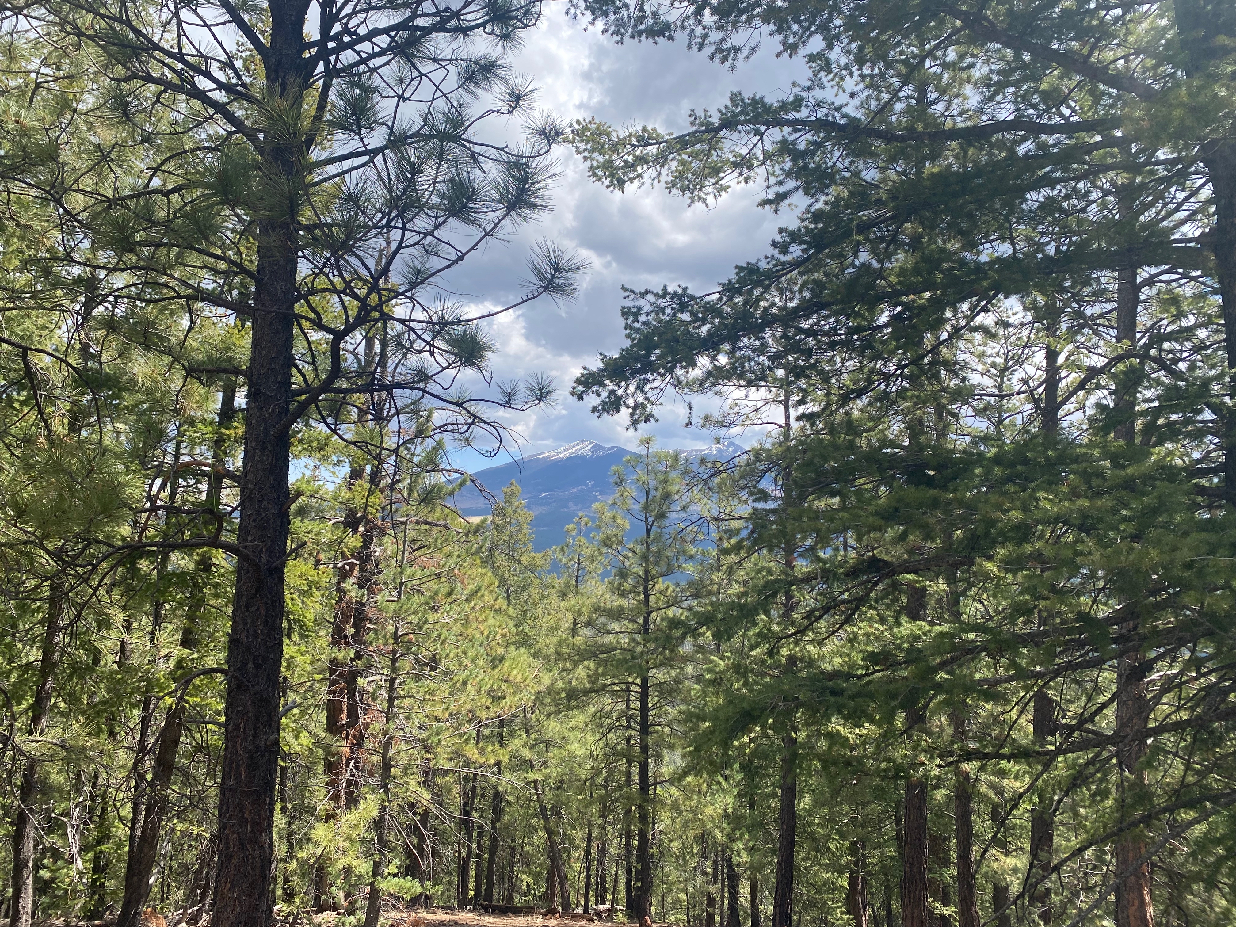
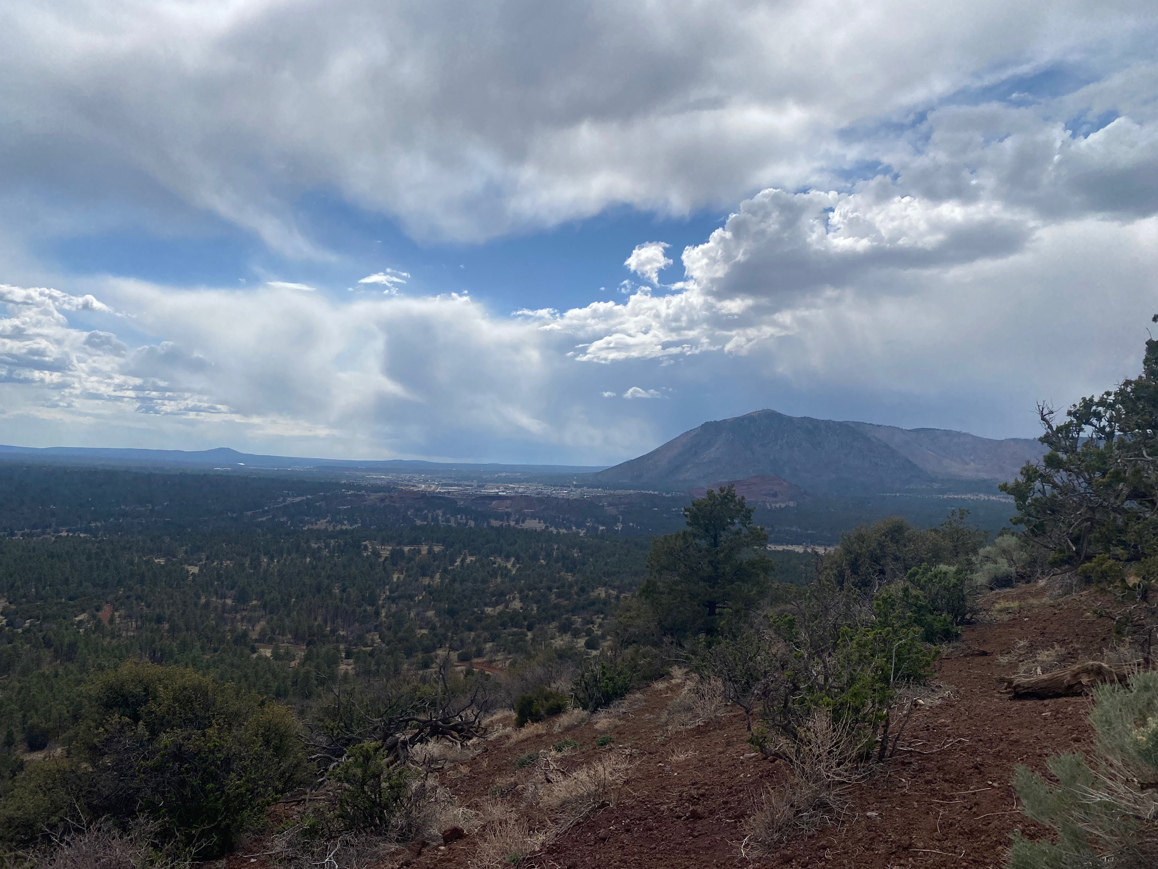
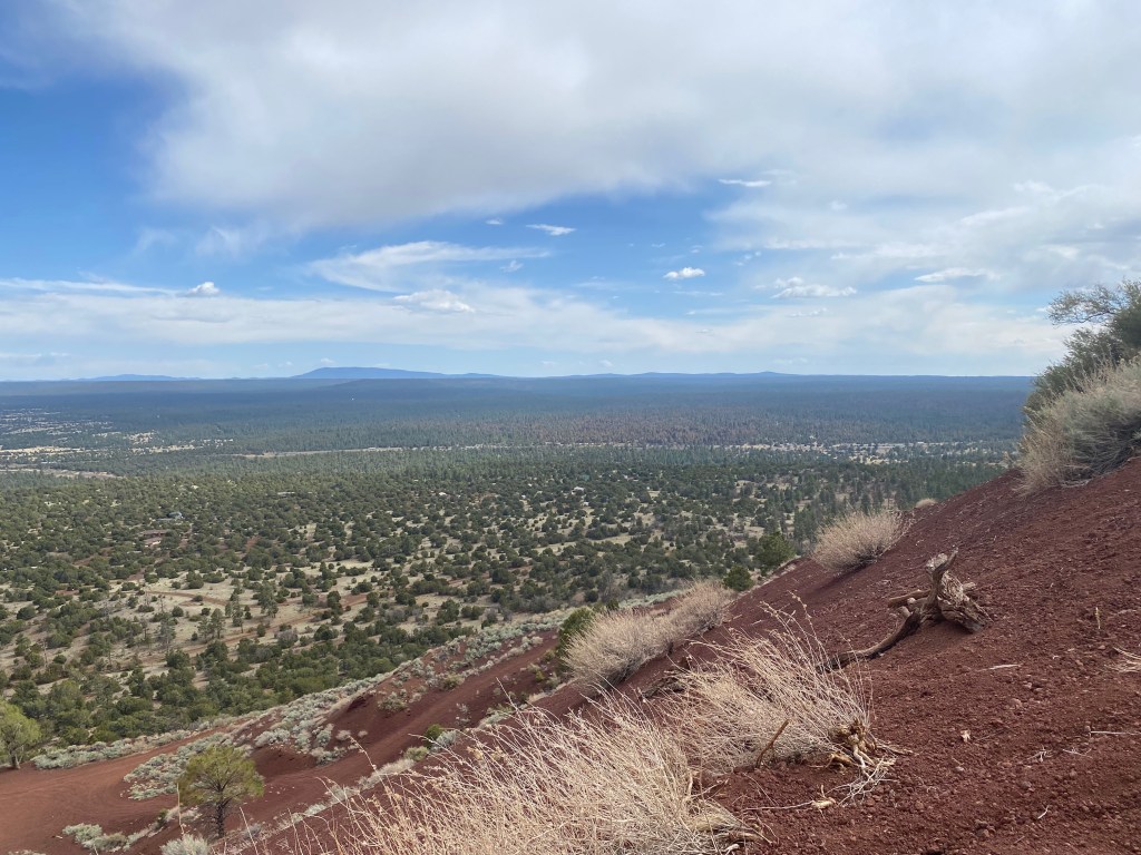
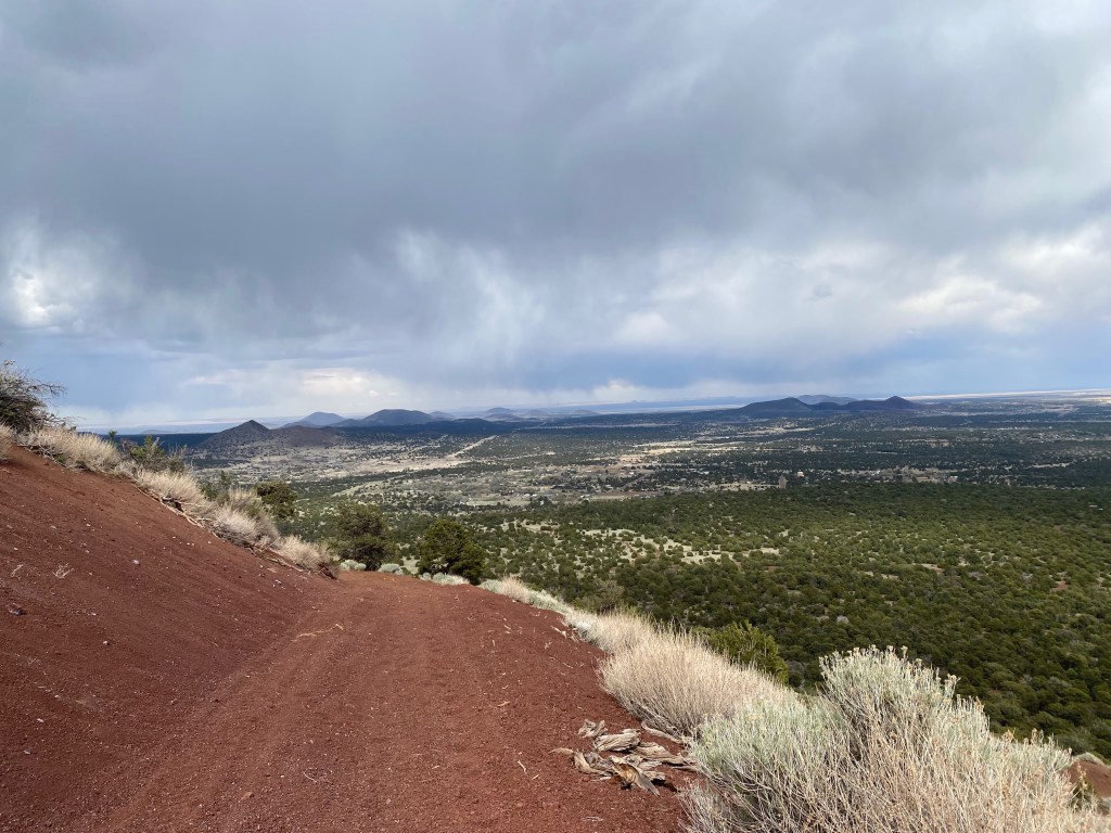
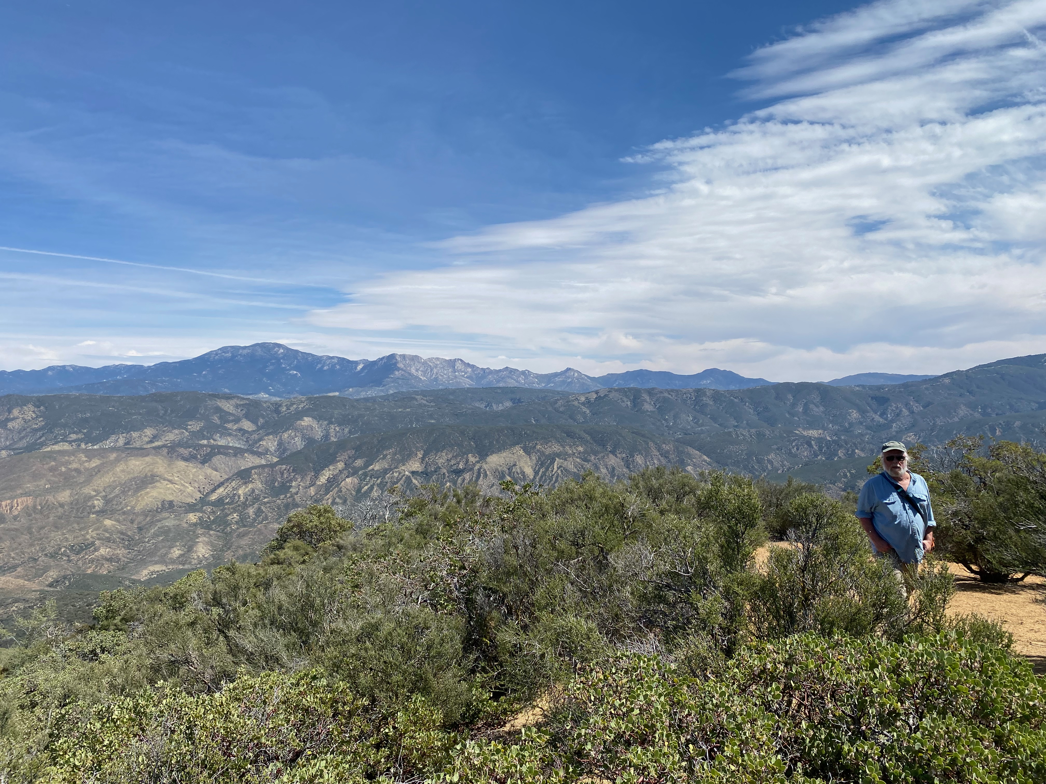
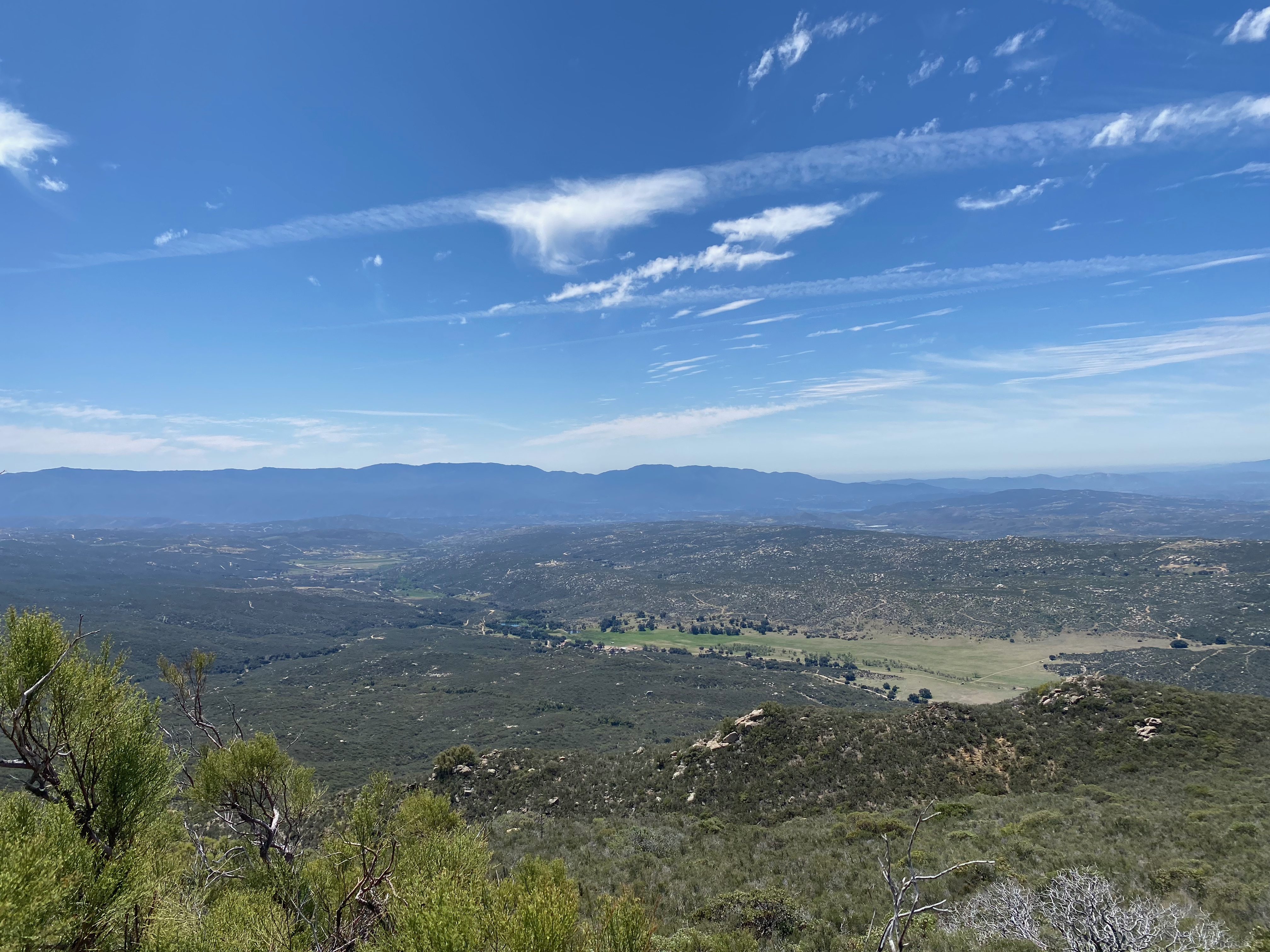
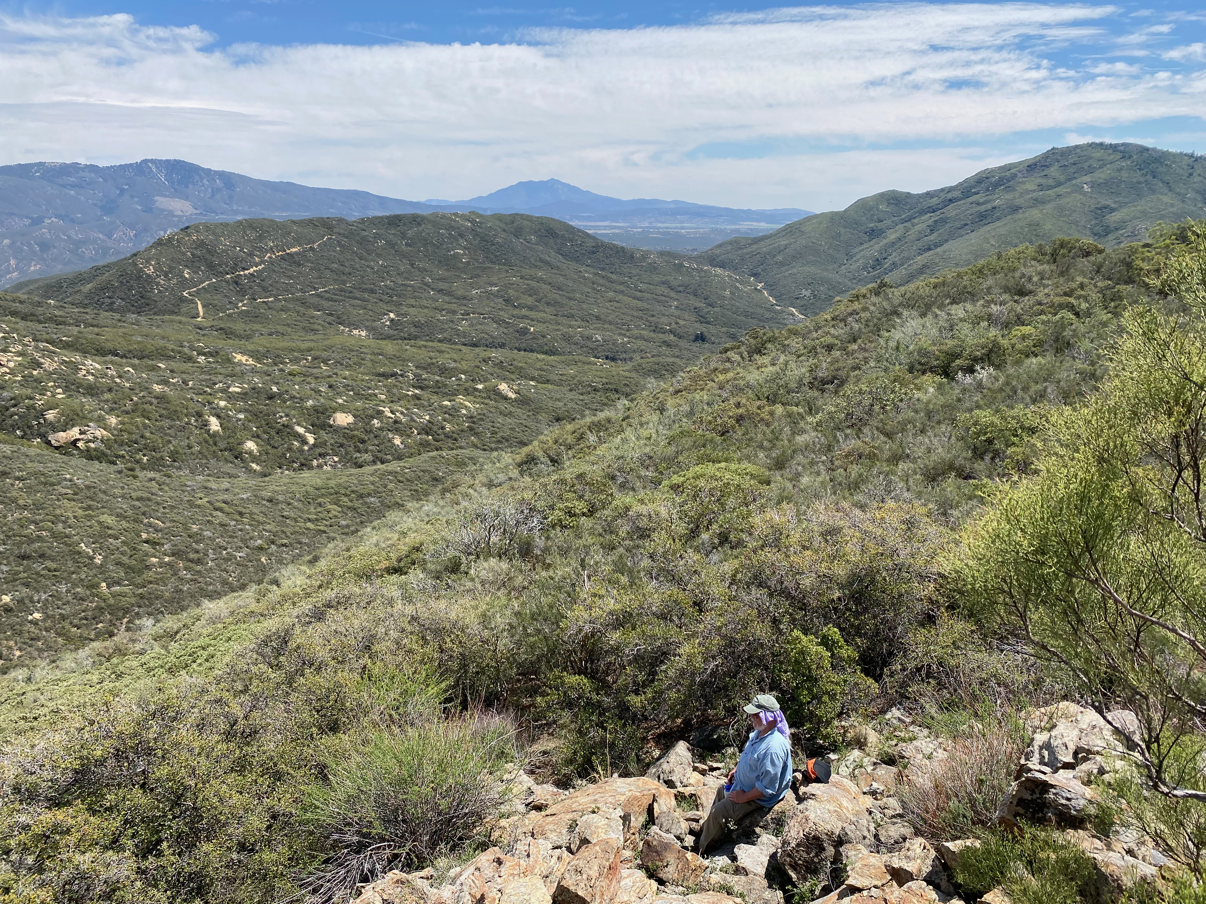
The hiking route is a delightful, shady and easy walk though the Carson National Forest with glimpses out across the forested Tusas and Ortega Mountains. Even if the gate had been open, I would have taken this delightful stroll.
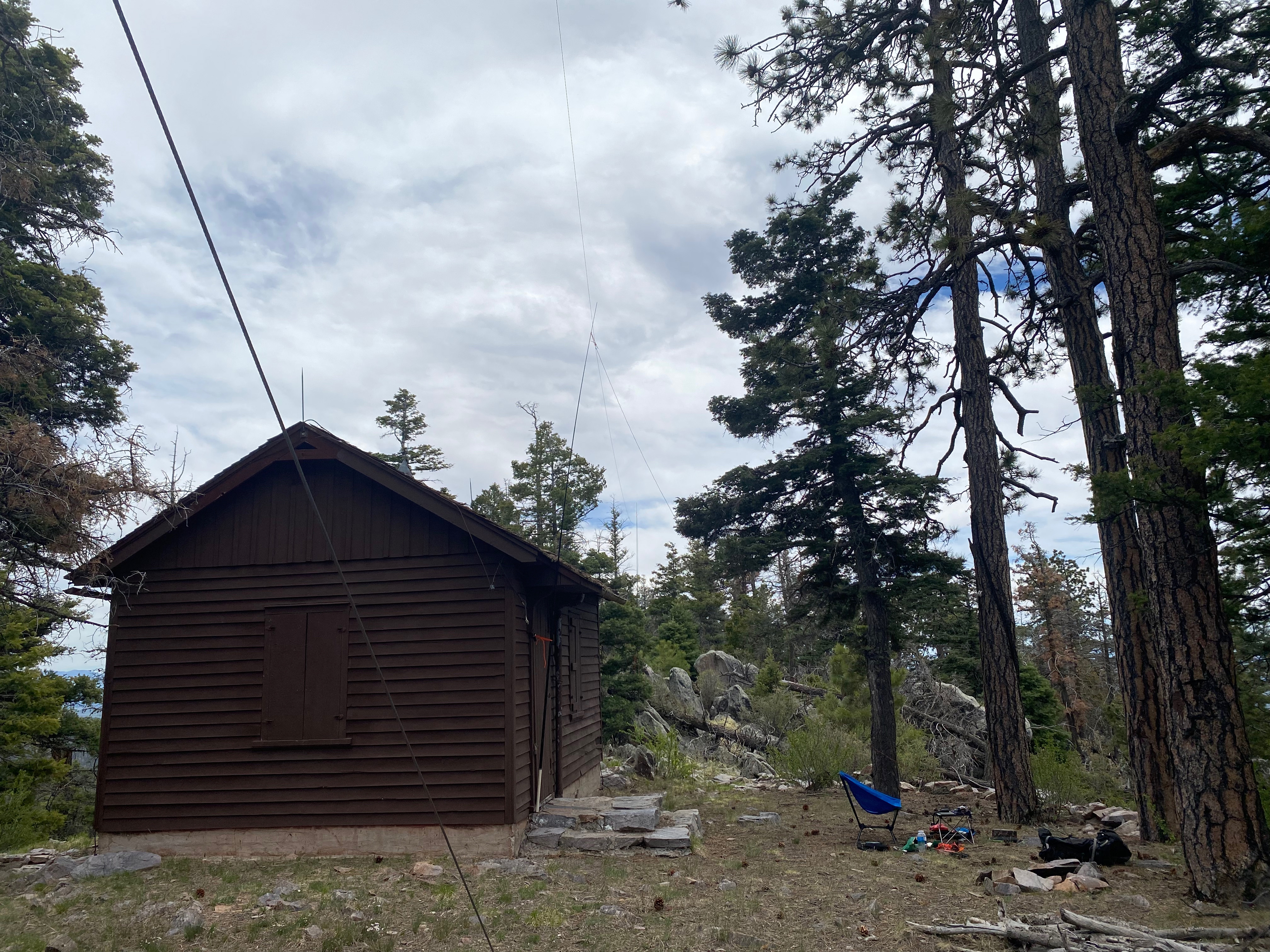
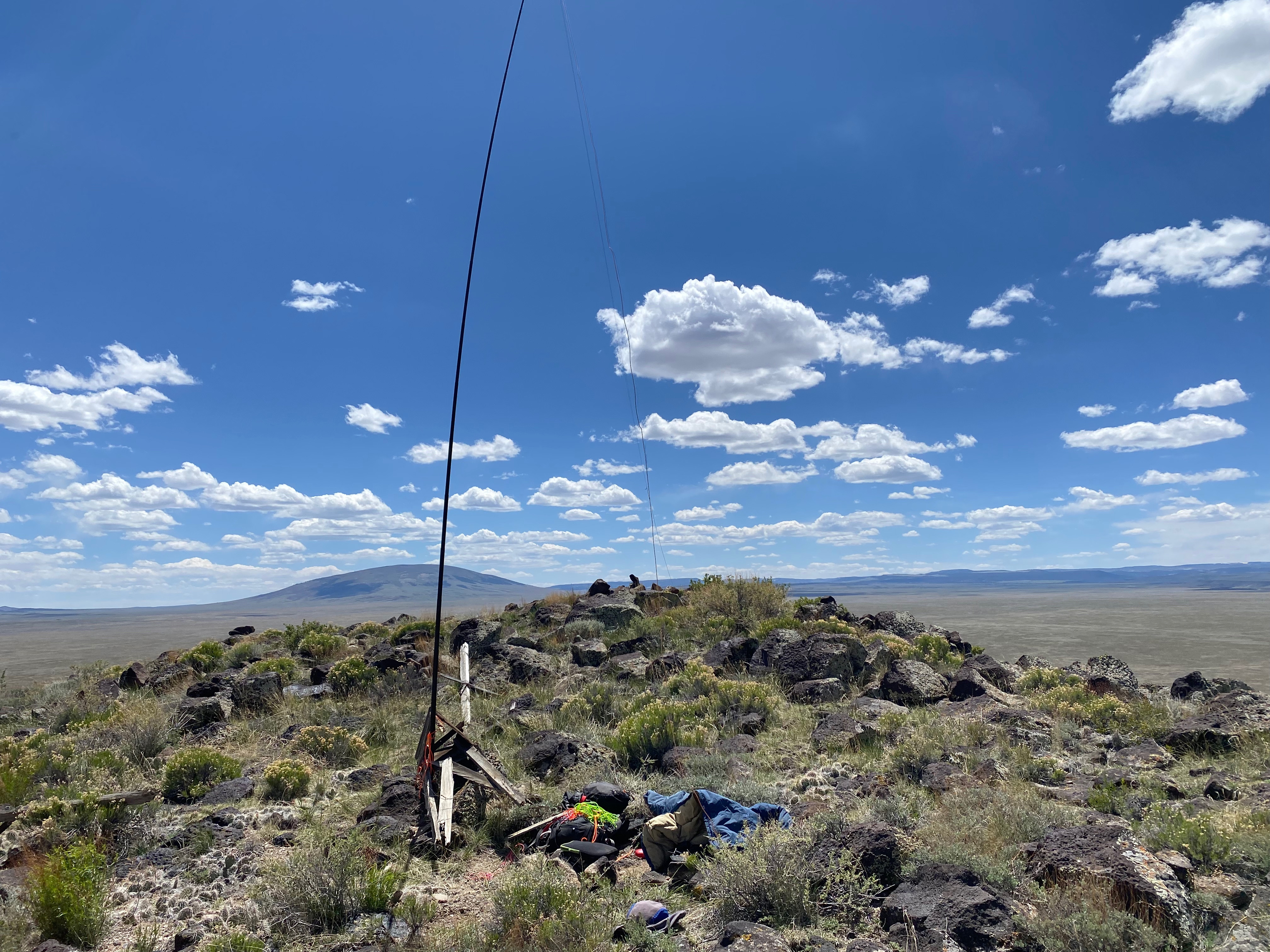
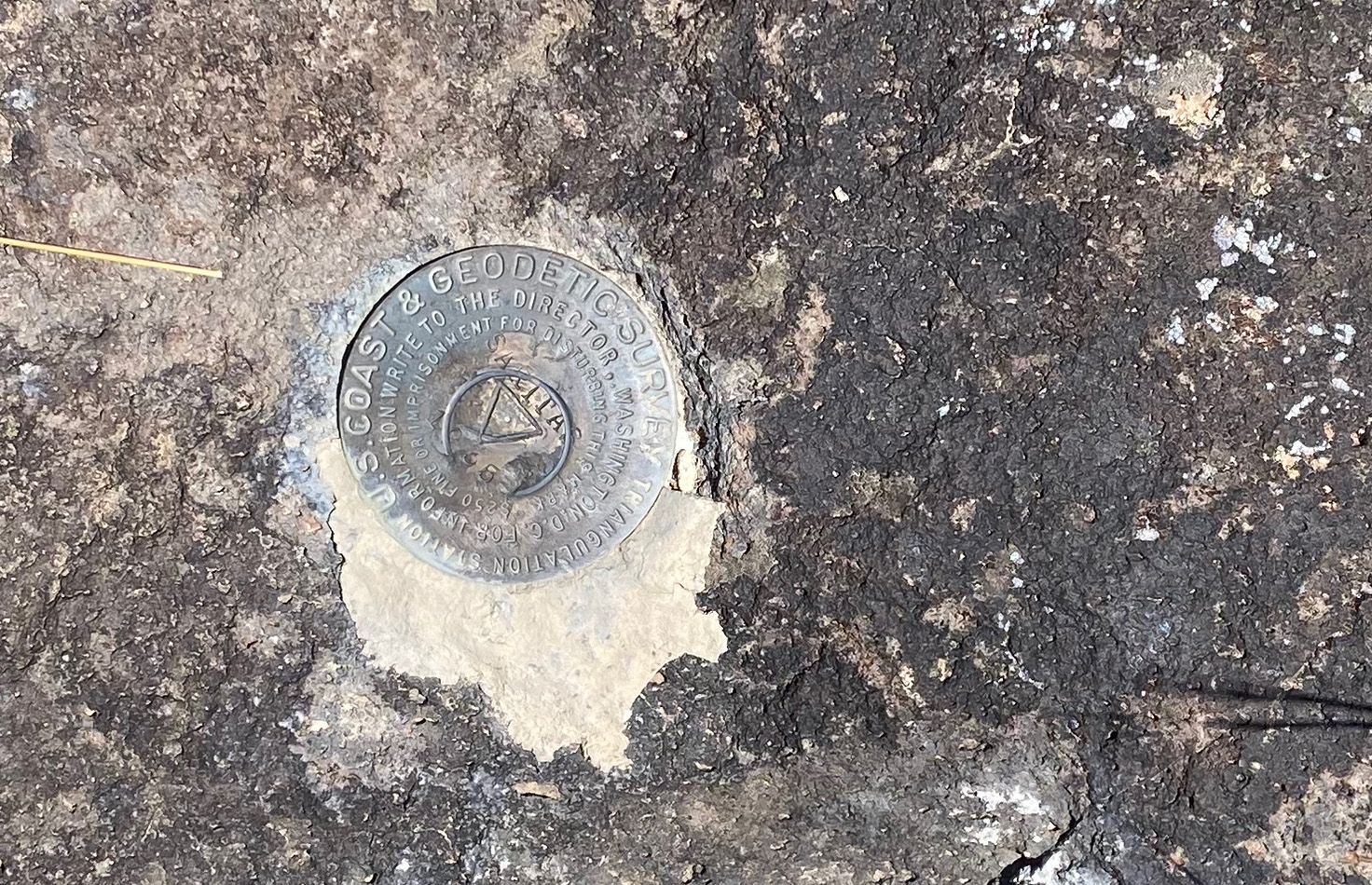
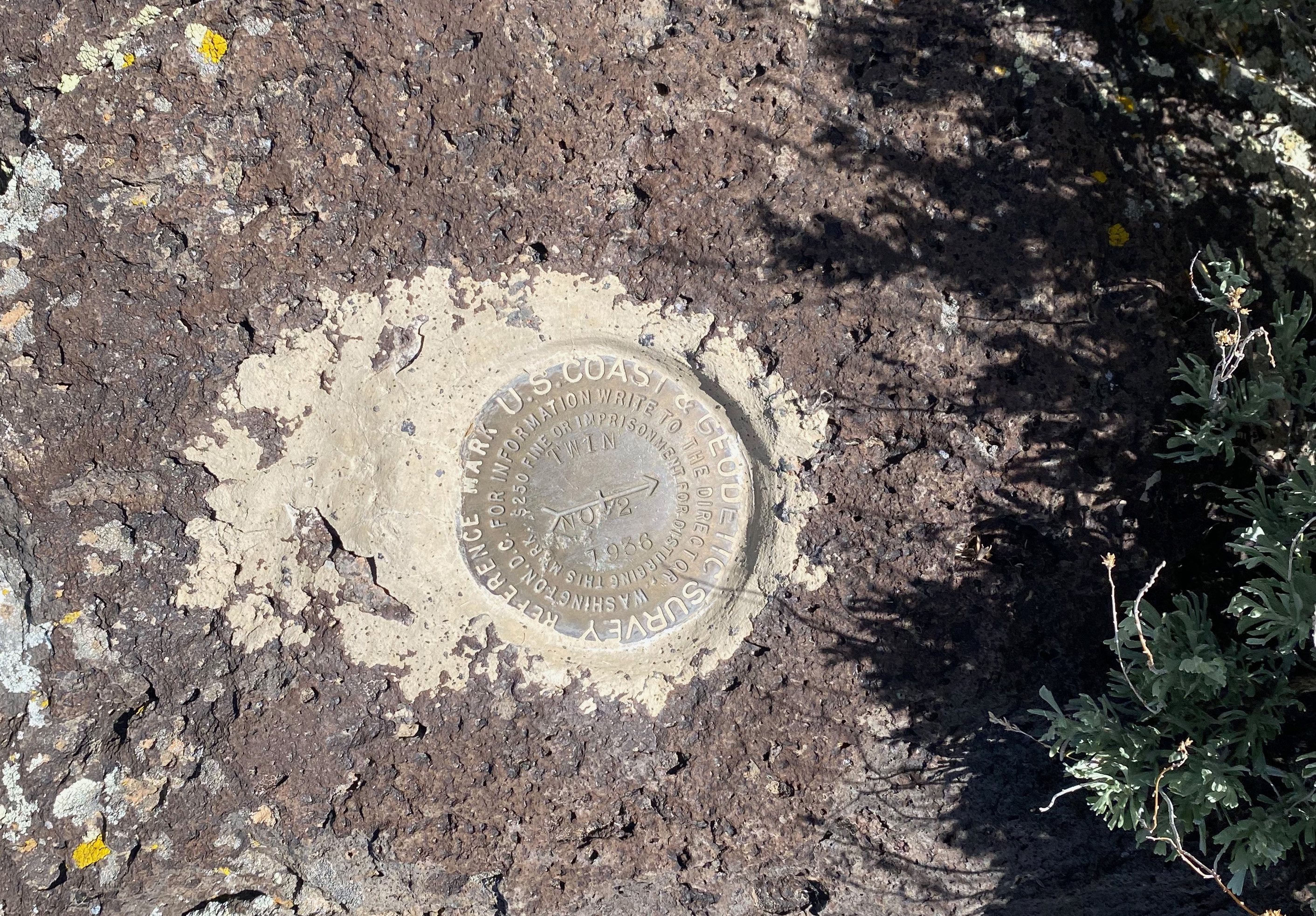
This summit is unusual for the fact that there is a reasonably well-preserved forest service fire lookout tower on this forested summit, but not any other communications infrastructure that usually attends such a juicy hilltop. Or at least there is very little of the usual junk. There was a small building at the base that housed what I am guessing is a single repeater. I did hear some audio chatter coming from within the building. But with no big microwave junk, this peak has a lost-in-time vibe. The tower is one of the tallest, if not the tallest, I’ve ever seen. It is a little spooky to climb. I’d suggest a firm grip on the handrails as some of the plank steps seem pretty weathered. There was an inspection tag from 2023 at the bottom that gave the structure a satisfactory grade. The very top trapdoor into the lookout itself was locked.
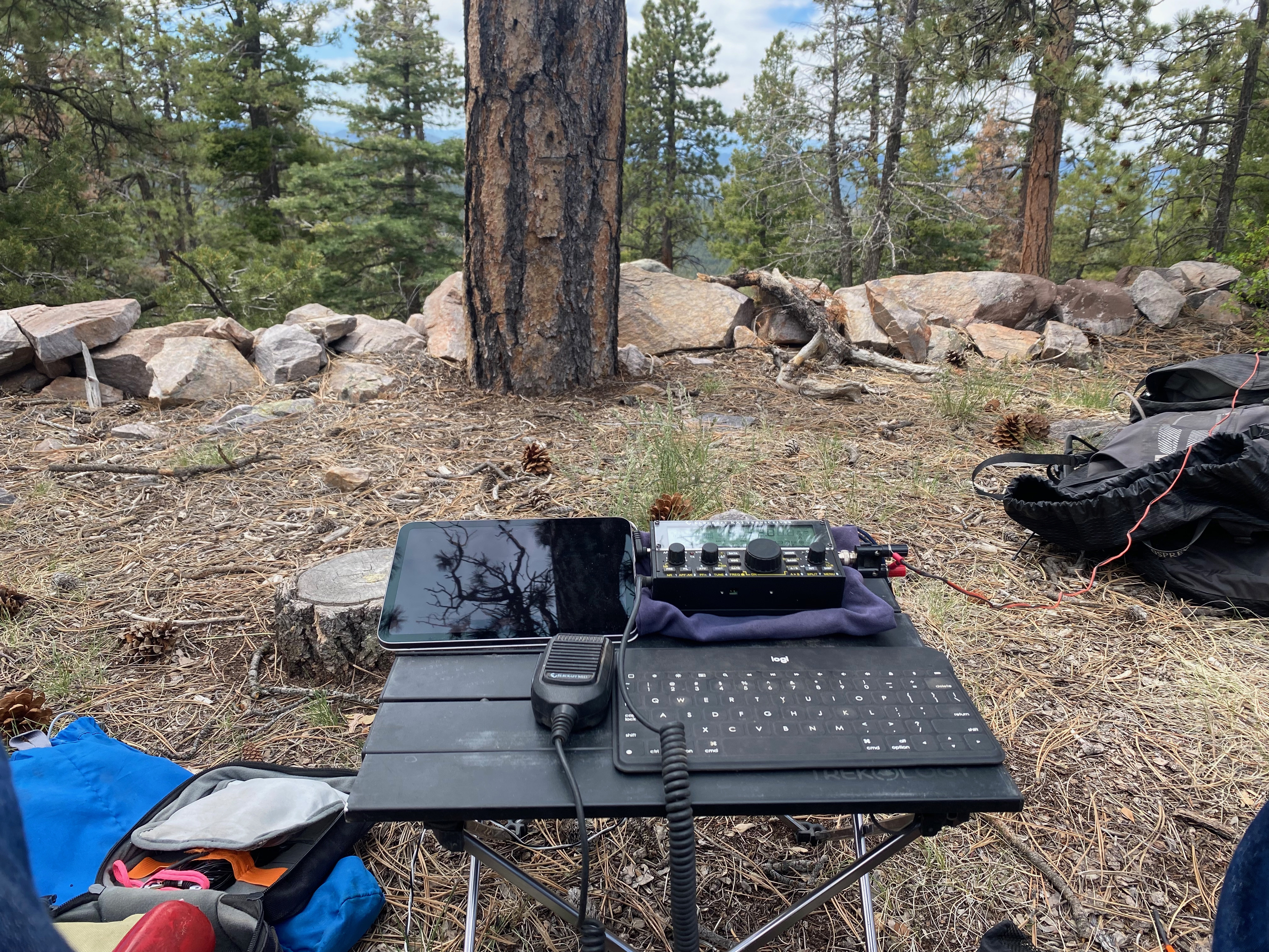
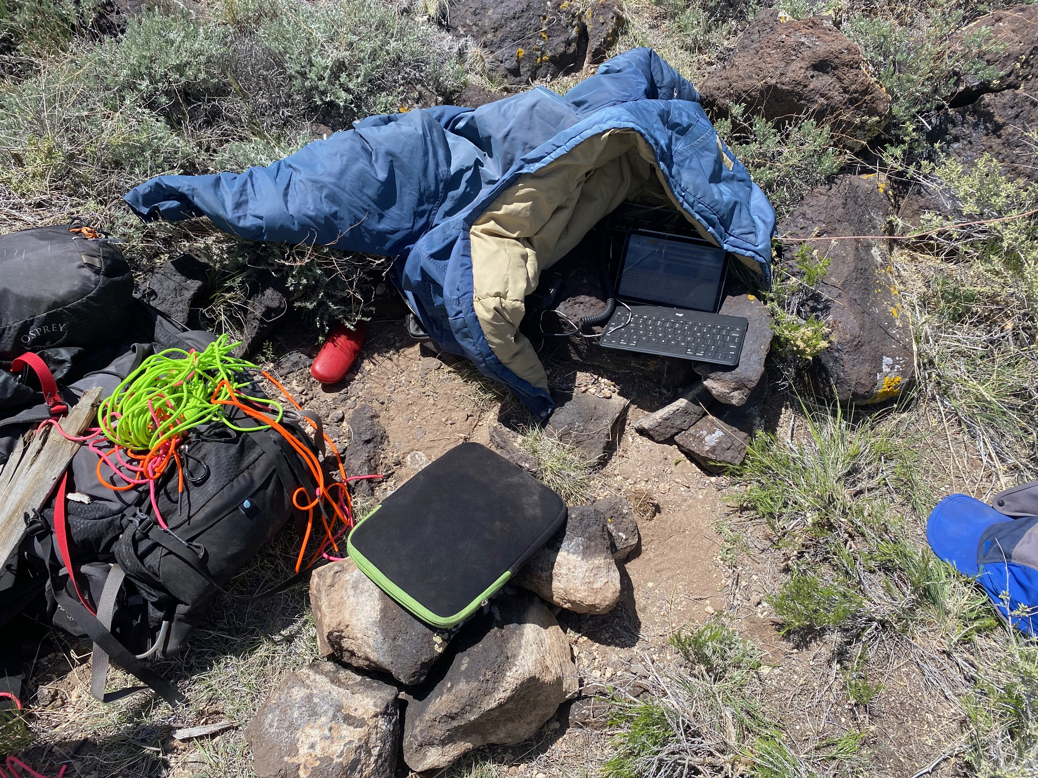
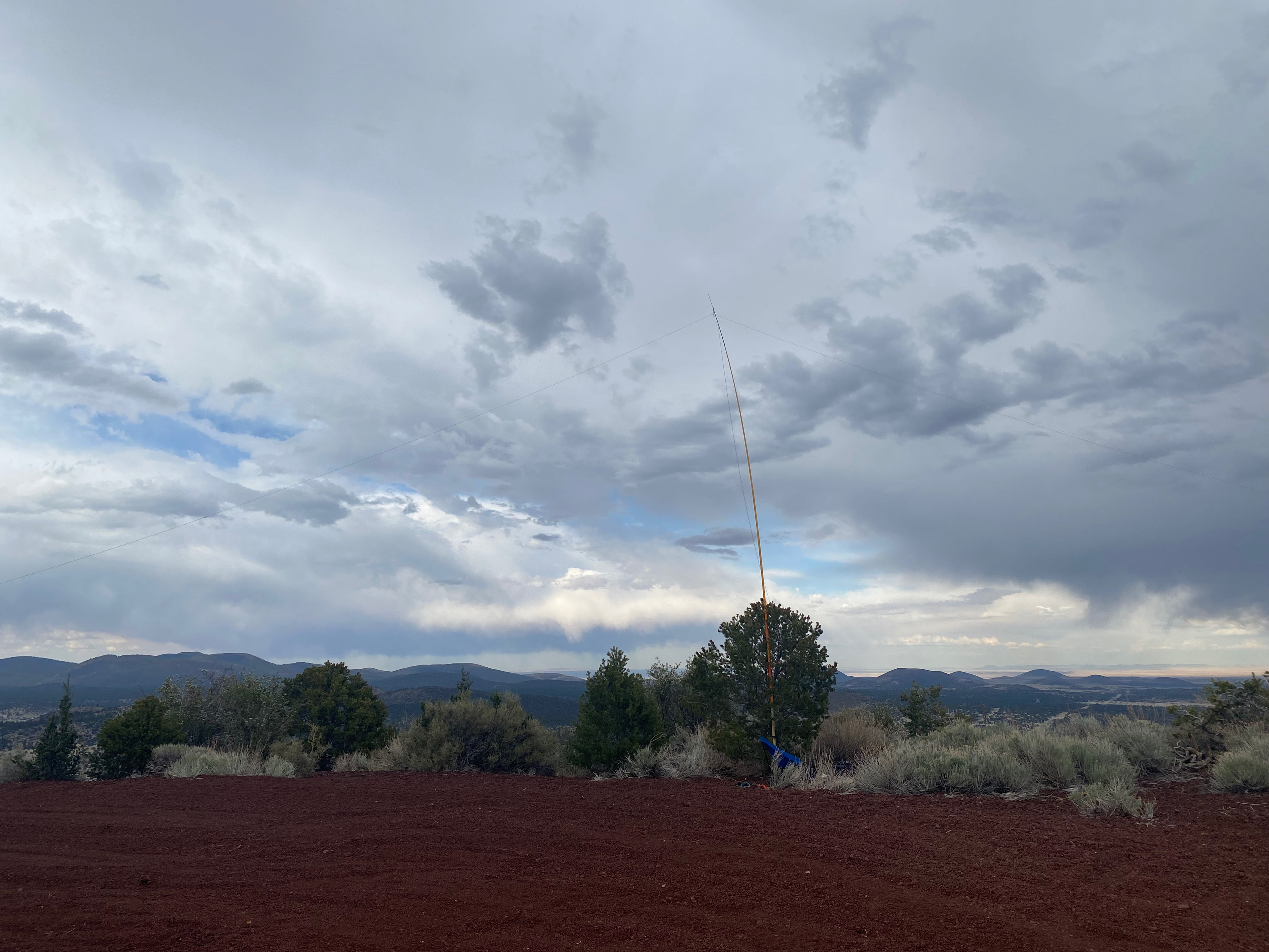
The tower makes a great place to hang a high end of an antenna.
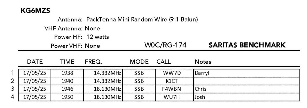
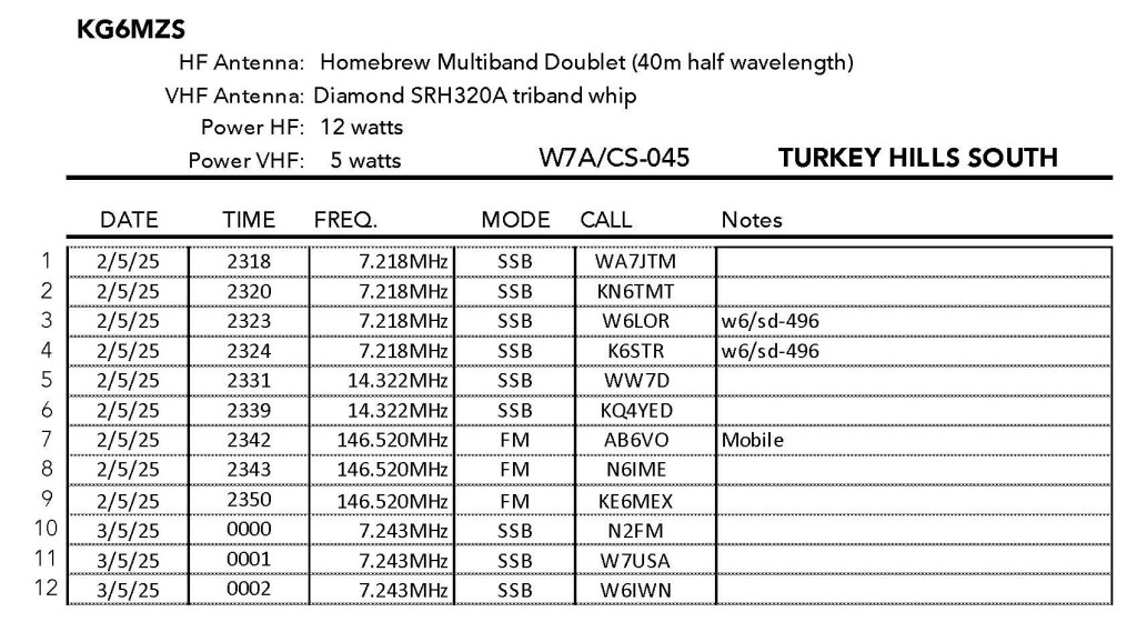
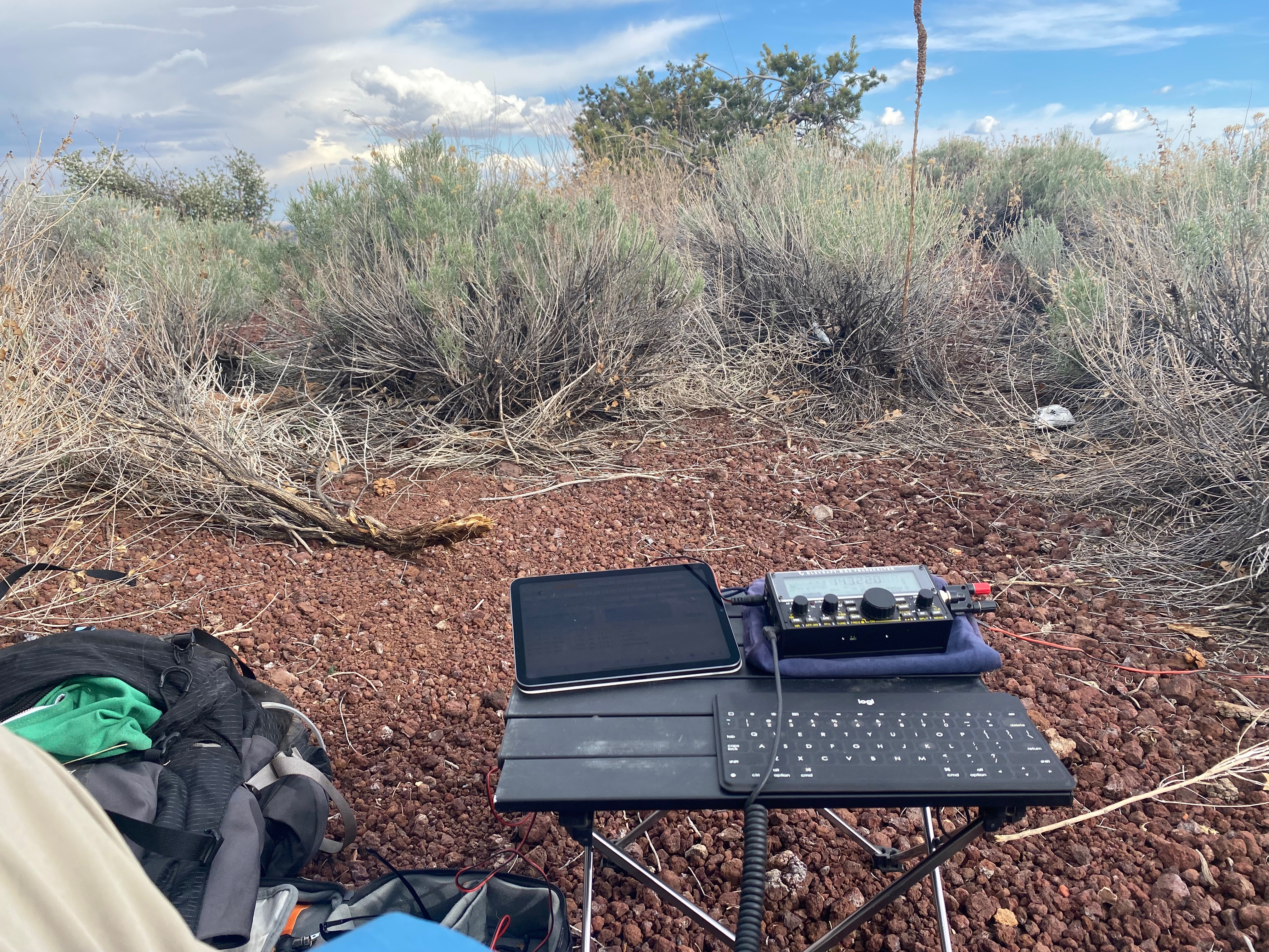
Radio conditions were somewhat better then they have been. Chris F4WBN was an honest-to-God 57 on the KX2.


Leave a comment