
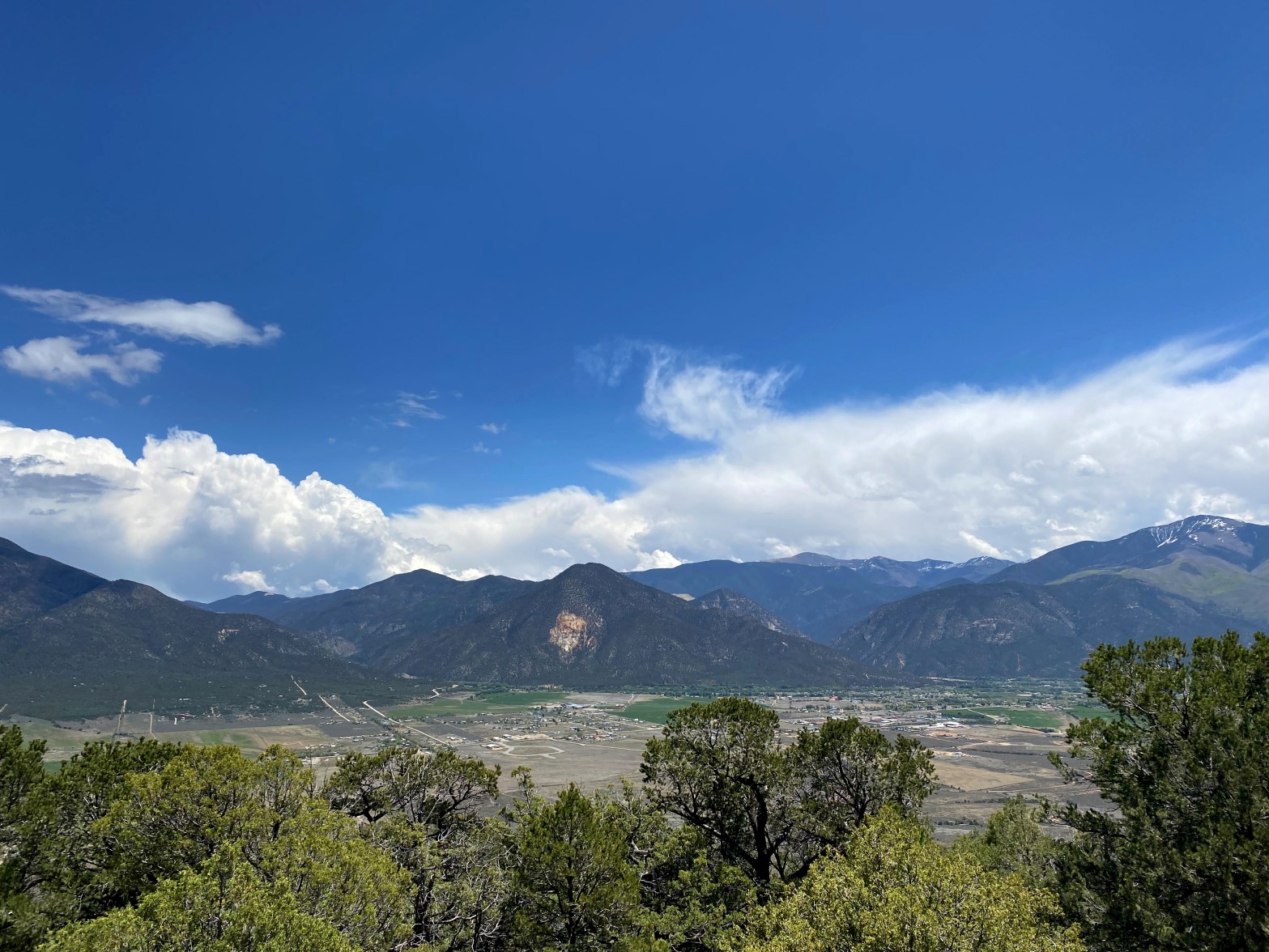
Dab me up, Mr. Smith! Here is the latest W6 Mountain Goat to join the herd. Mt. Langley in the background. Photo by Bill Smith.
25 SEPTEMBER 2023 W6/SS-085

| Elevation: | 12,900′ |
| Route: | Trail and Cross country |
| Hike Distance: | 20 miles round trip |
| Elevation Gain: | 2,875′ |
| Navigation: | Easy |
| Steepness: | Moderate |
| Vehicle: | Passenger car |
| Road: | Paved road |
| Cell Coverage: | None |
The odyssey that was our trip to Cirque Peak was much like my quest for SOTA Mountain Goat in general: breathtakingly beautiful and oddly fluky, exhausting and invigorating, full of ups and downs and twists and turns.
Back in August of 1974 and fresh out of high school my friends Allan Gardner, Jon Fredland and I drove up the perilous Cottonwood Lakes Road late one Friday night after work in Los Angeles. We backpacked to Long Lake on Saturday, and then on Sunday climbed both Cirque and Langley, walked out and drove back to the LA area to be back on the job Monday morning.
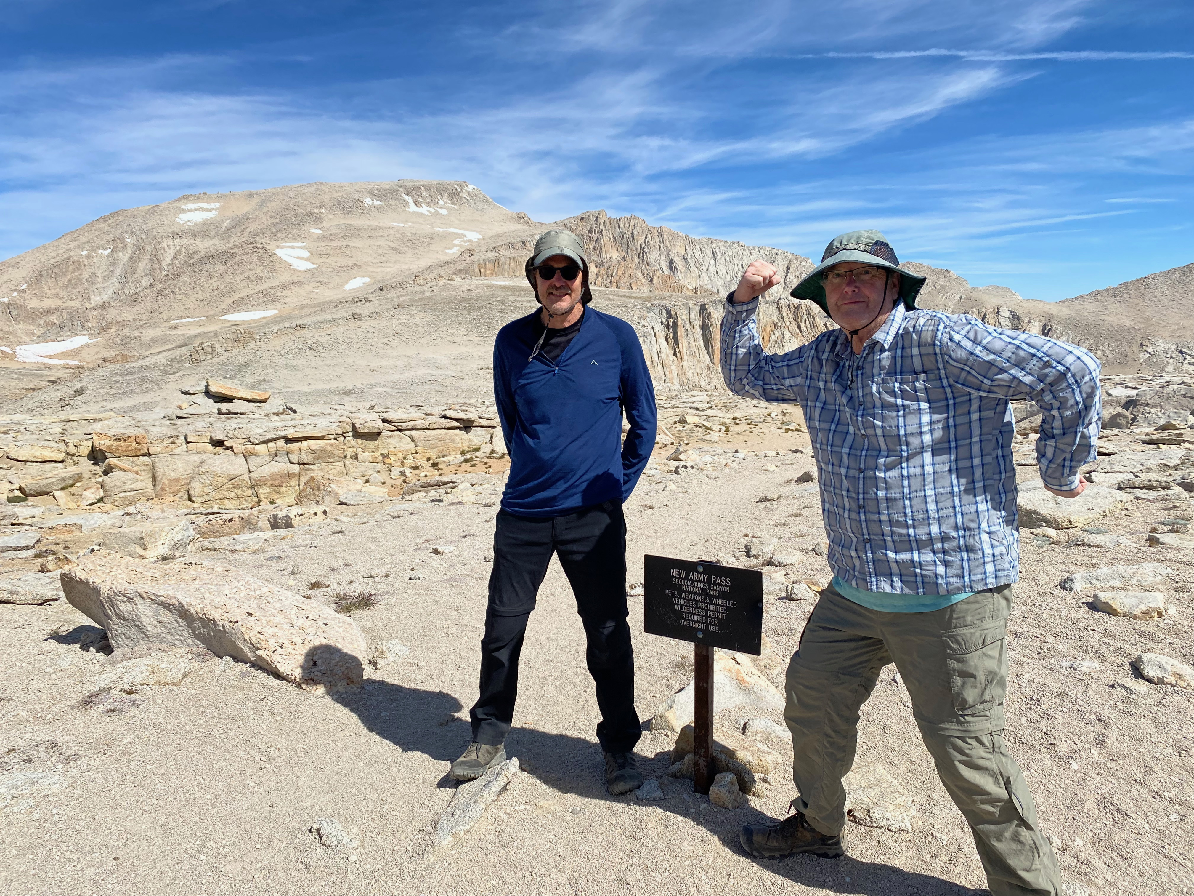
This time I met another old climbing buddy from back in the day, Bill Smith and his friend Al Martinsen at the Cottonwood Lakes walk-in campground. Bill’s son Andrew had gotten a notion to climb all the 14,000′ peaks in California and wanted to start with Mount Langley. Since Bill doesn’t get to see Andrew much these days because he is busy teaching, he planned this trip since our scheme to do the John Muir Trail had to be postponed because of all the snow in the high passes so late in this unusual year.
We had a tremendous evening around the campfire with Andrew holding court and regaling us with hilarious stories about the antics his students in a middle school near Sacramento. The kids are very lucky to have him.
Unfortunately Andrew was still suffering the effects of a wisdom tooth extraction. His dentist had suggested he not travel above 5,000′ – much less 14,000.’ Discretion being the better part of valor, Andrew made the hard call and bagged it. Bill was proud of him.
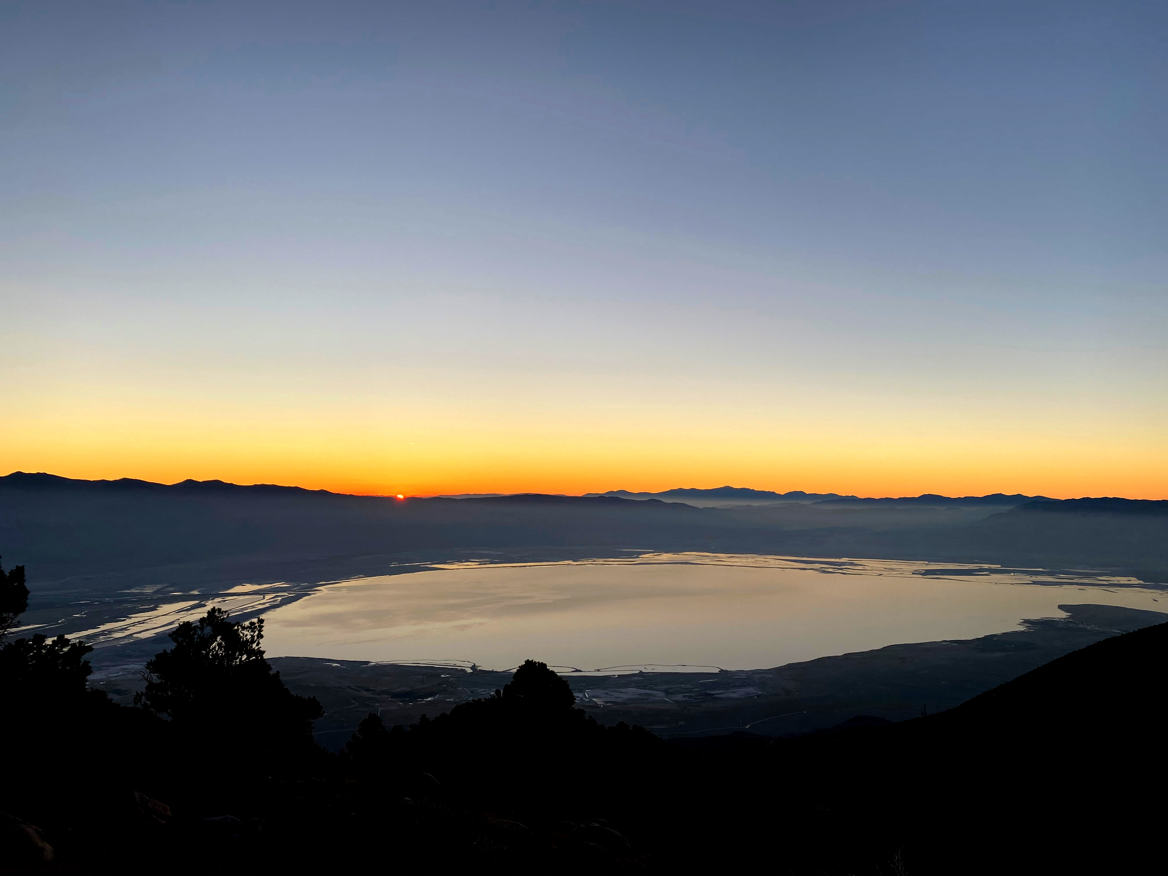
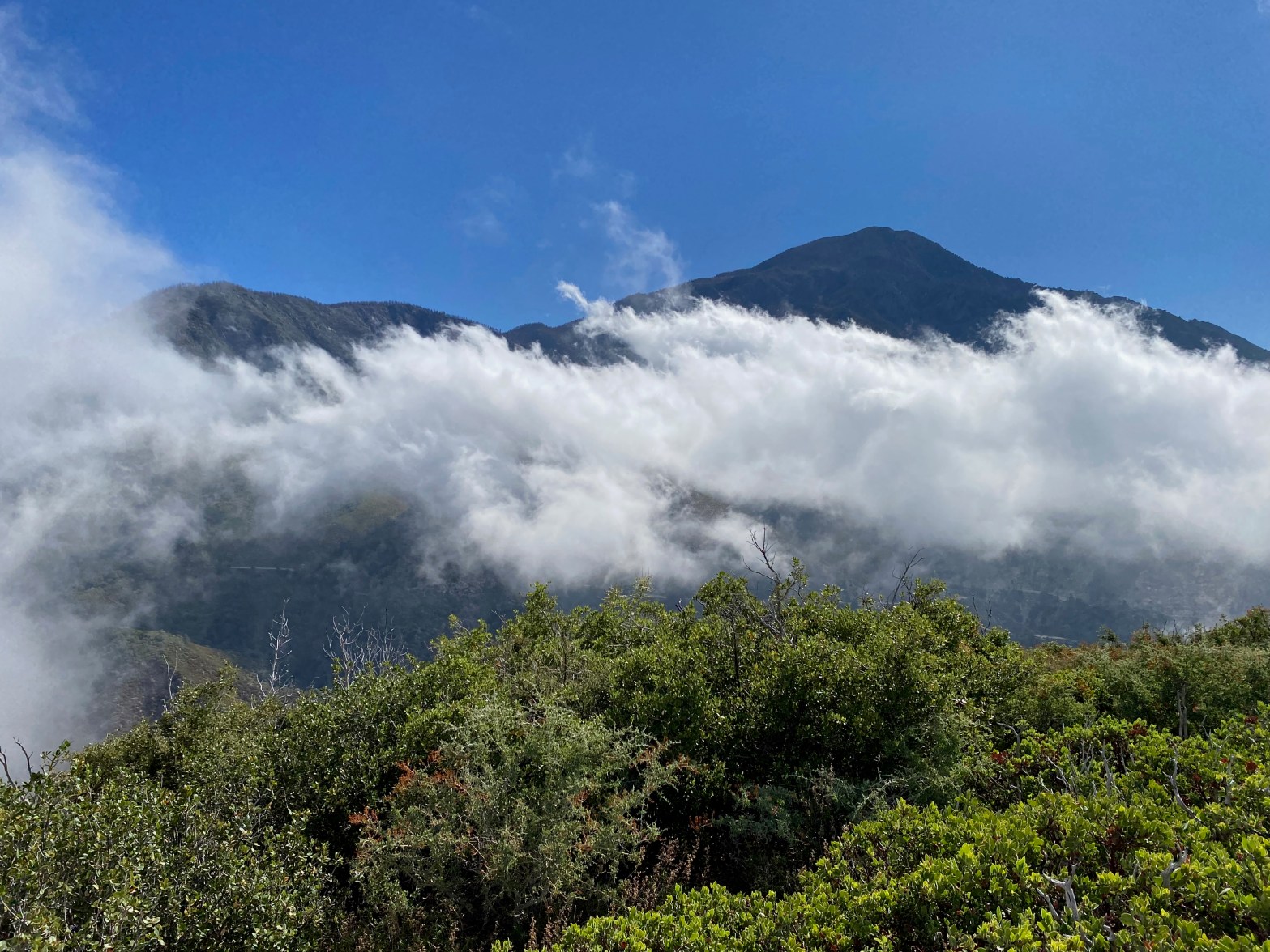
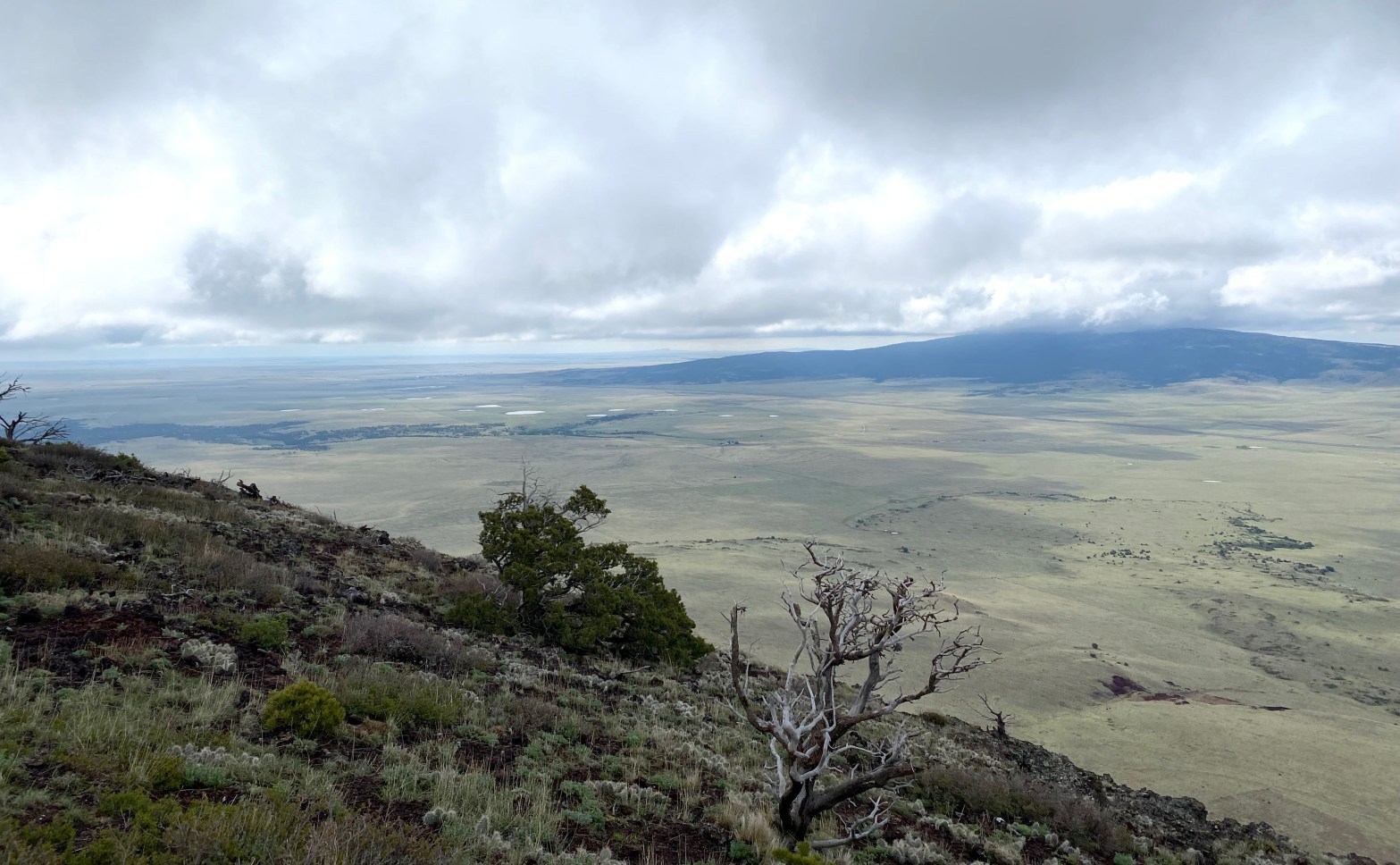
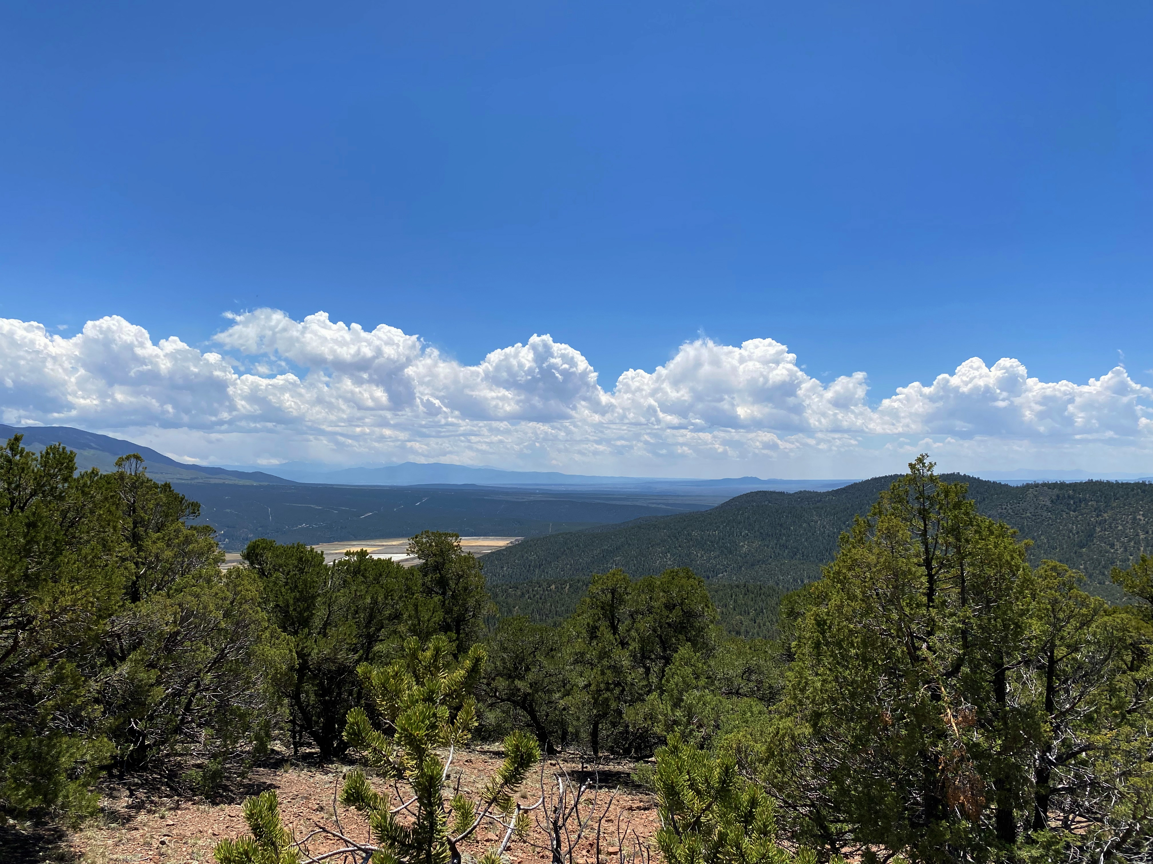
So it was only the three of us the next day that started out – Bill, Al and I. I got up before dawn and drove nine miles back down Cottonwood Lakes Road to catch this astounding view of Owens Lake at sunrise:
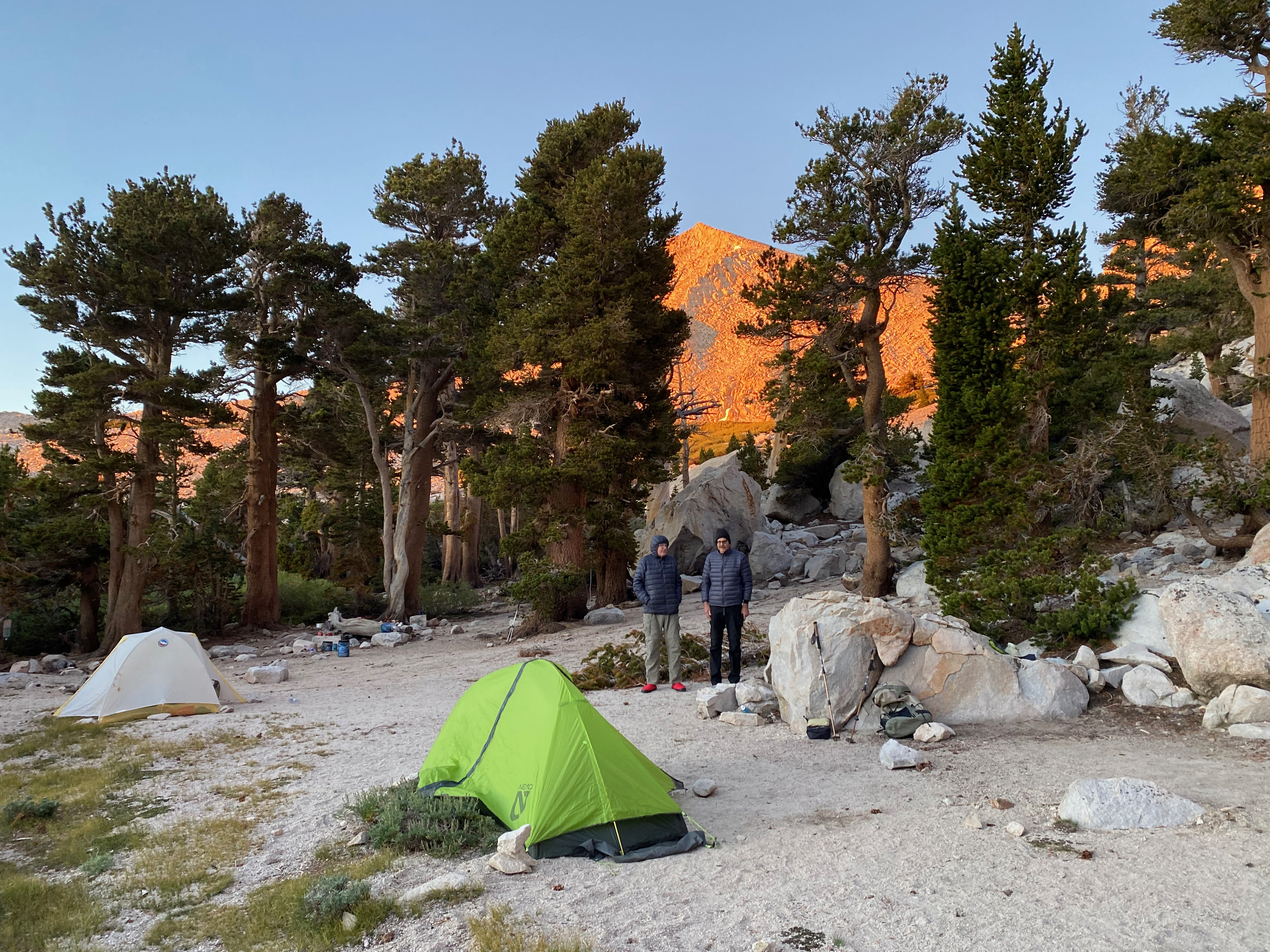
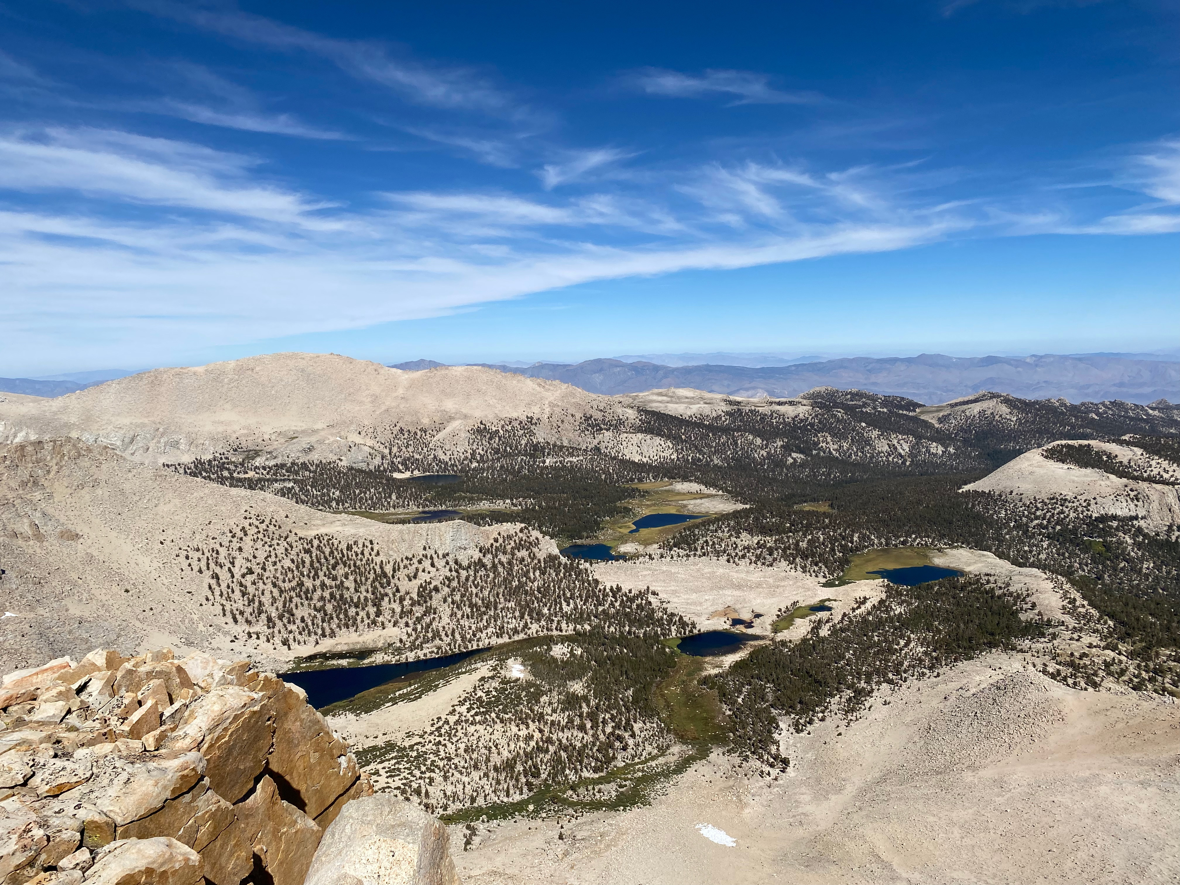
The six mile backpack from the Cottonwood Lakes Trailhead to Long Lake goes up a modest 1,500 feet or so. We managed to snag the exact same campsite at Long Lake that I had stayed at 50 years ago! While it was pretty cold at night – there was ice along the stream in the morning – there were no mosquitos and the daytime temperatures were damn near perfect for hiking.
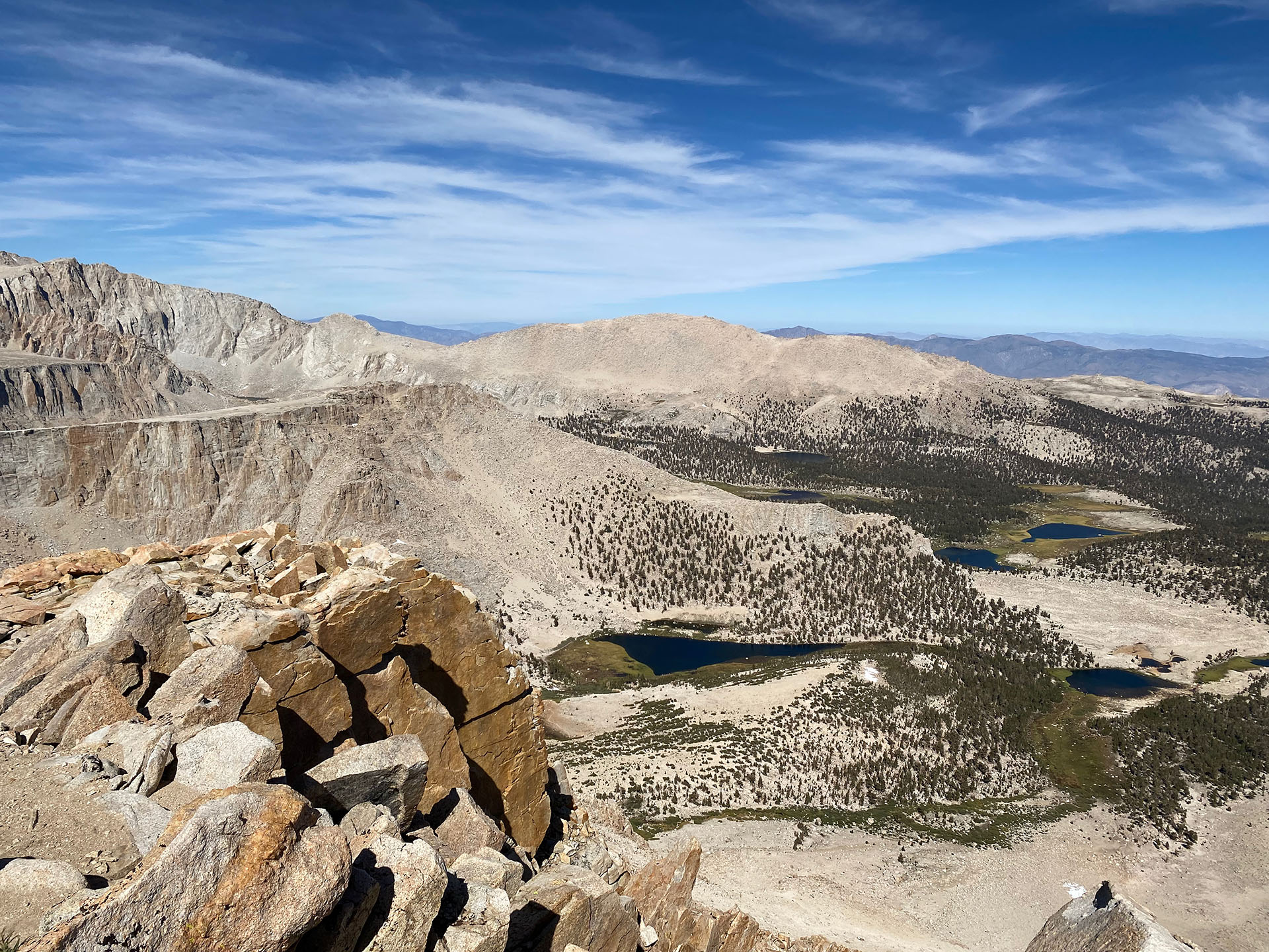
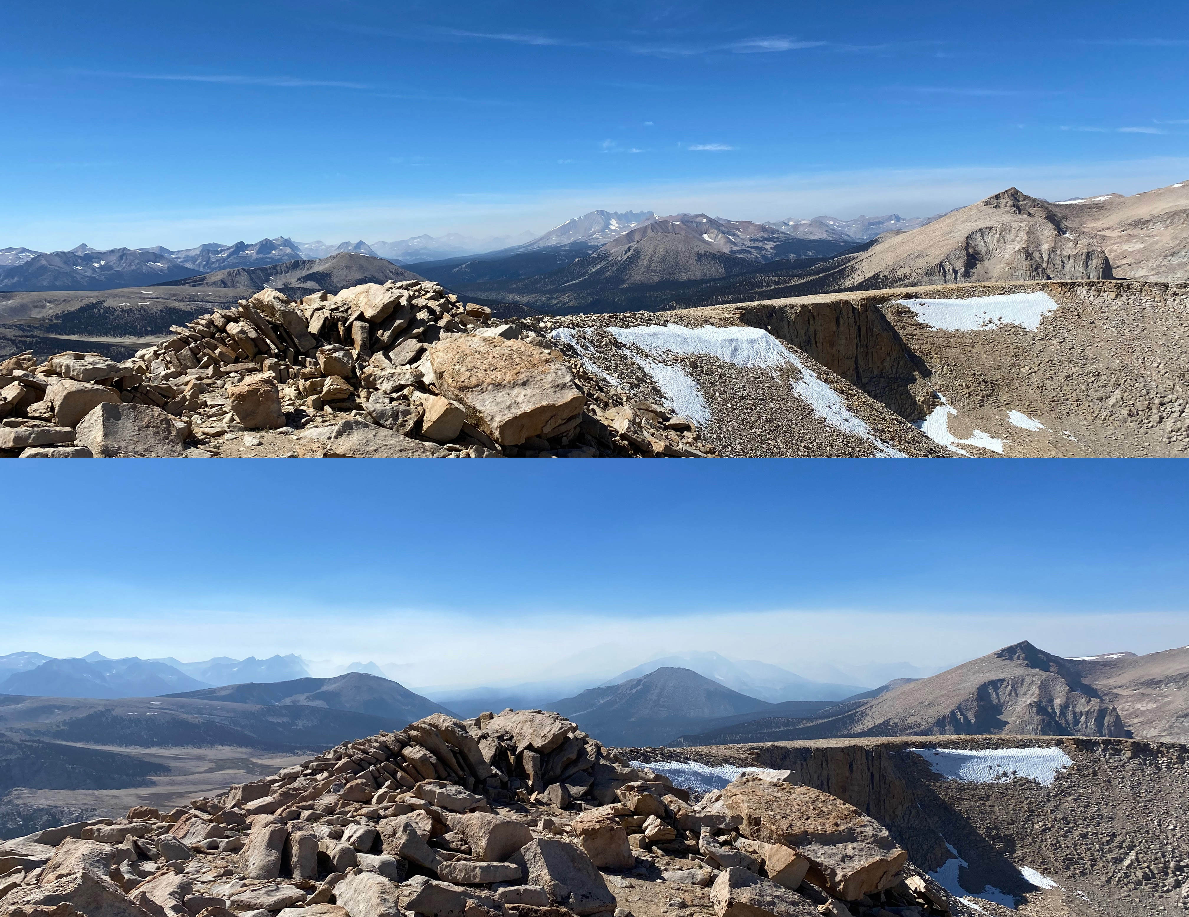
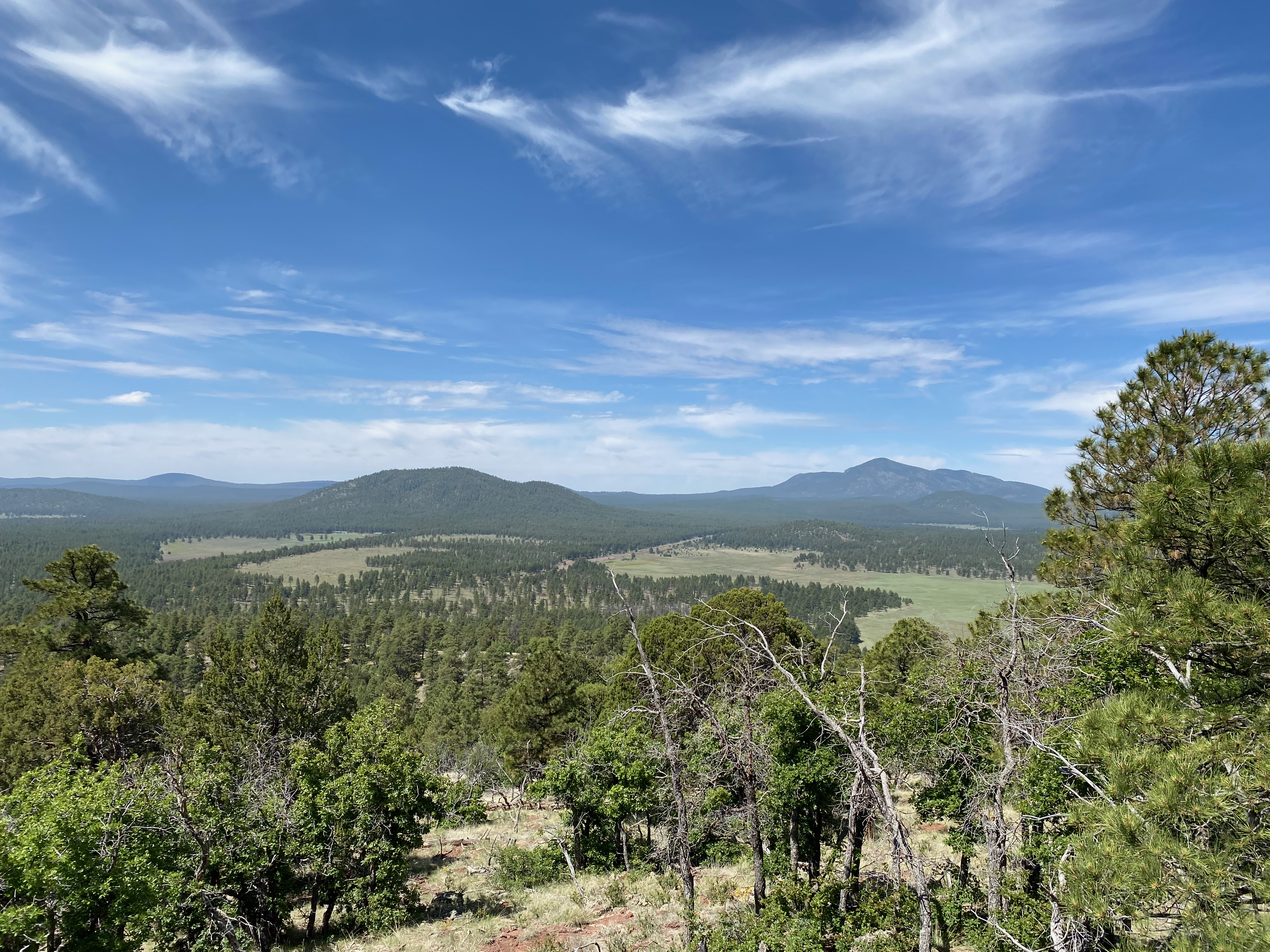
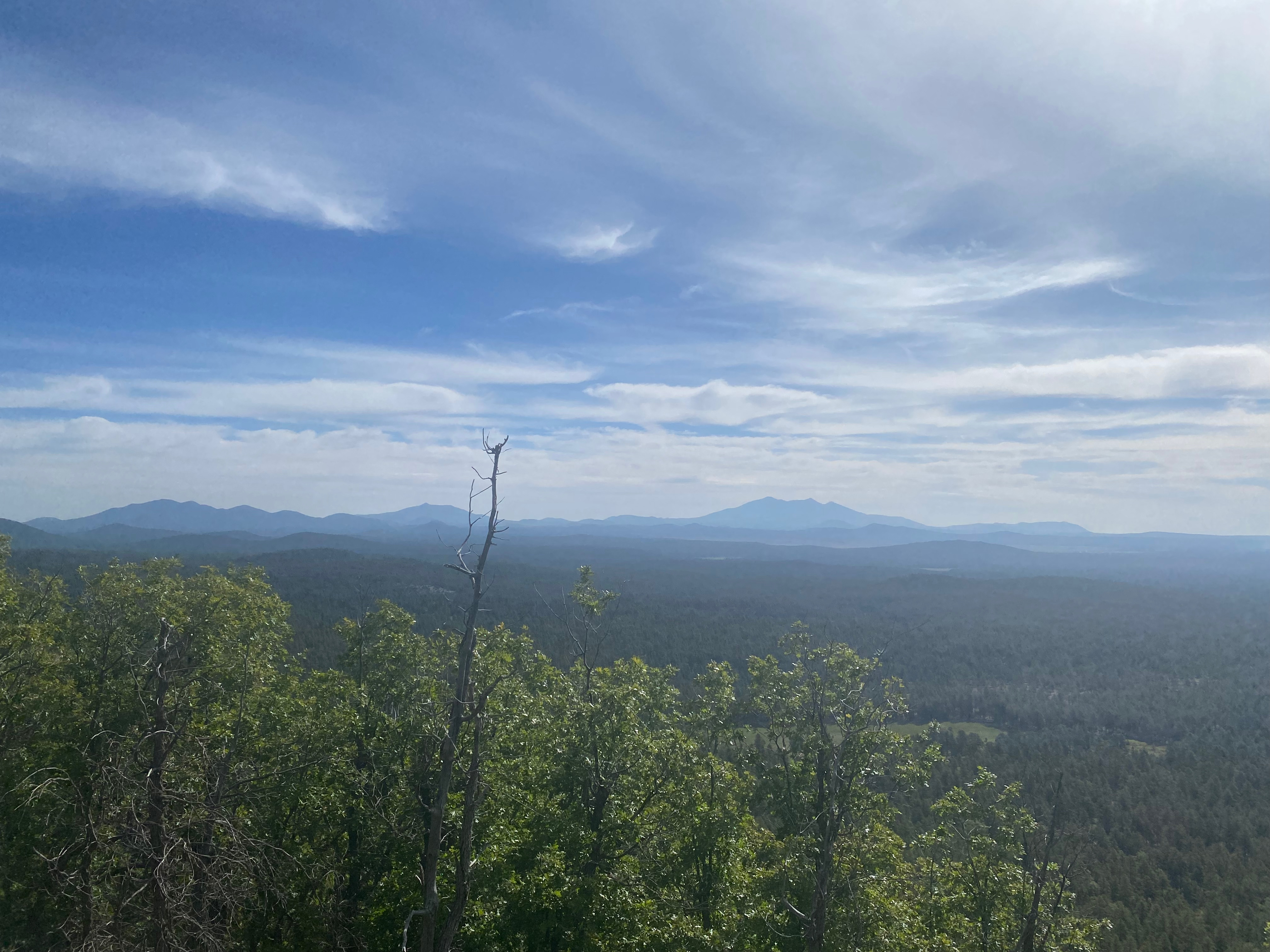
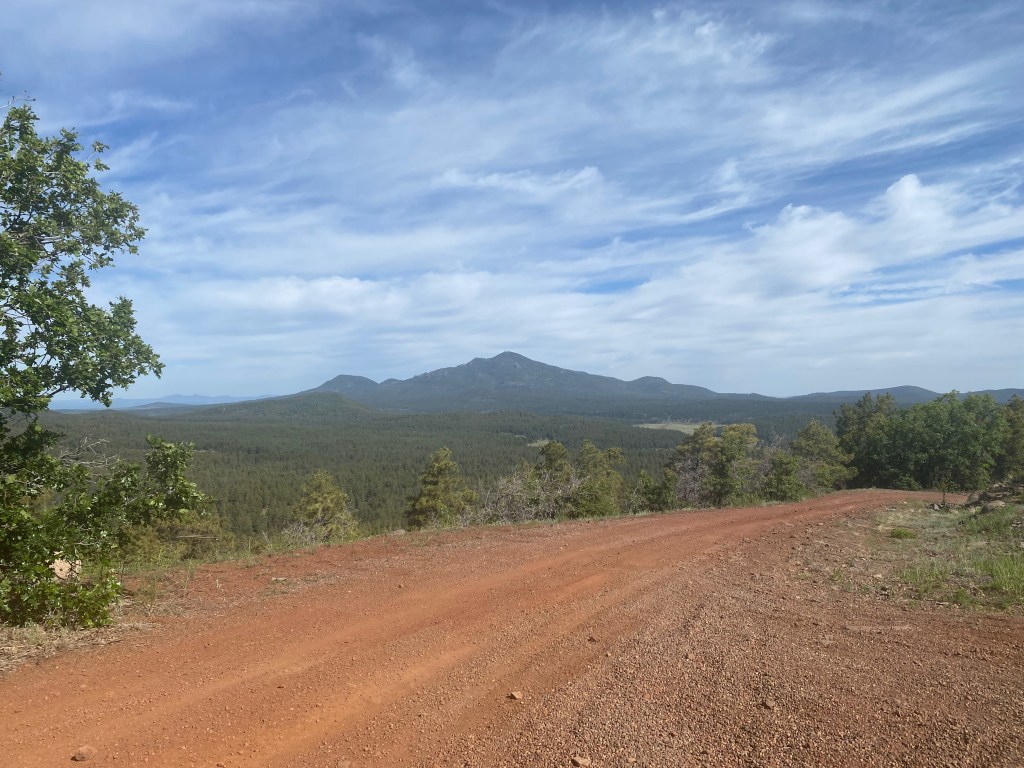
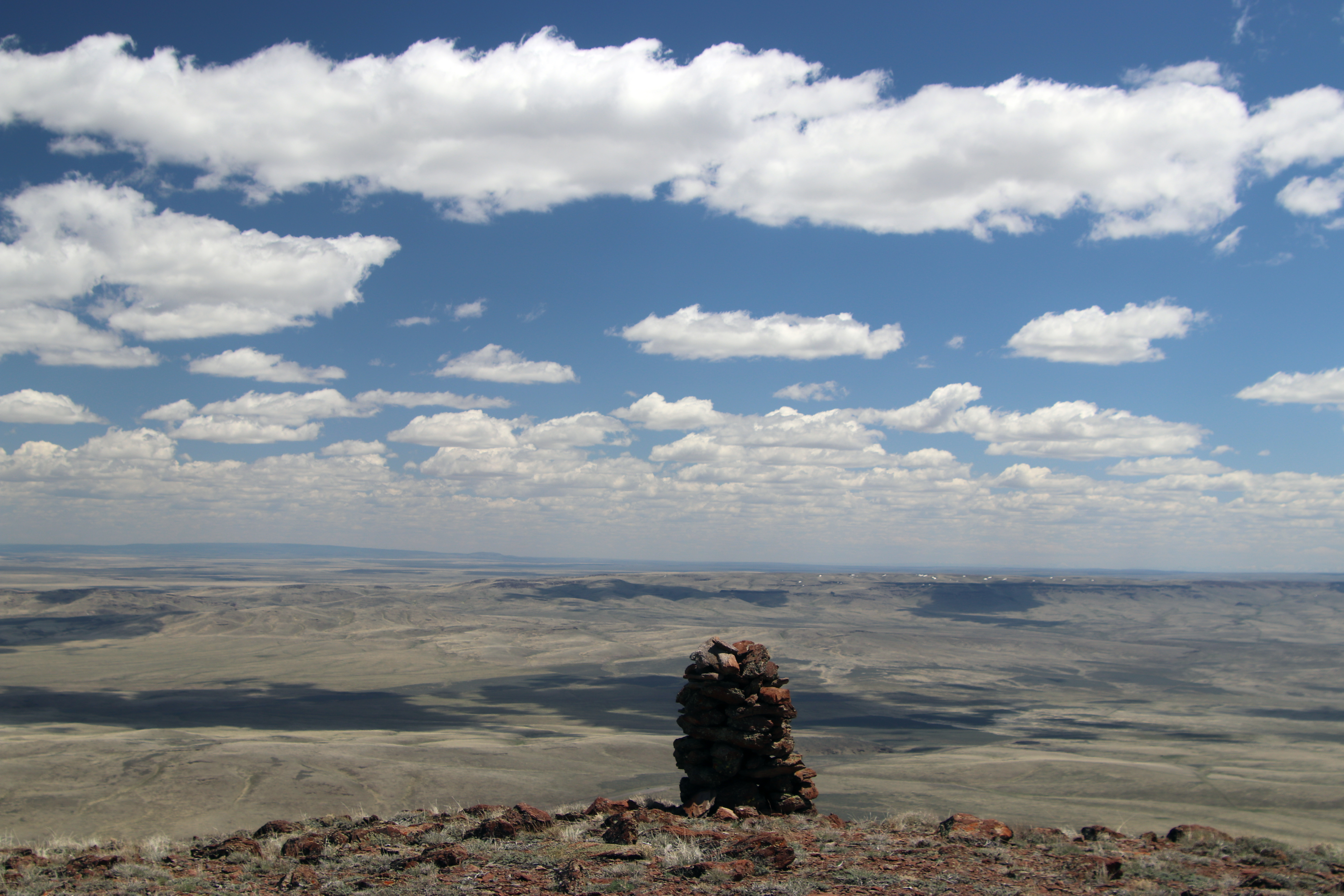
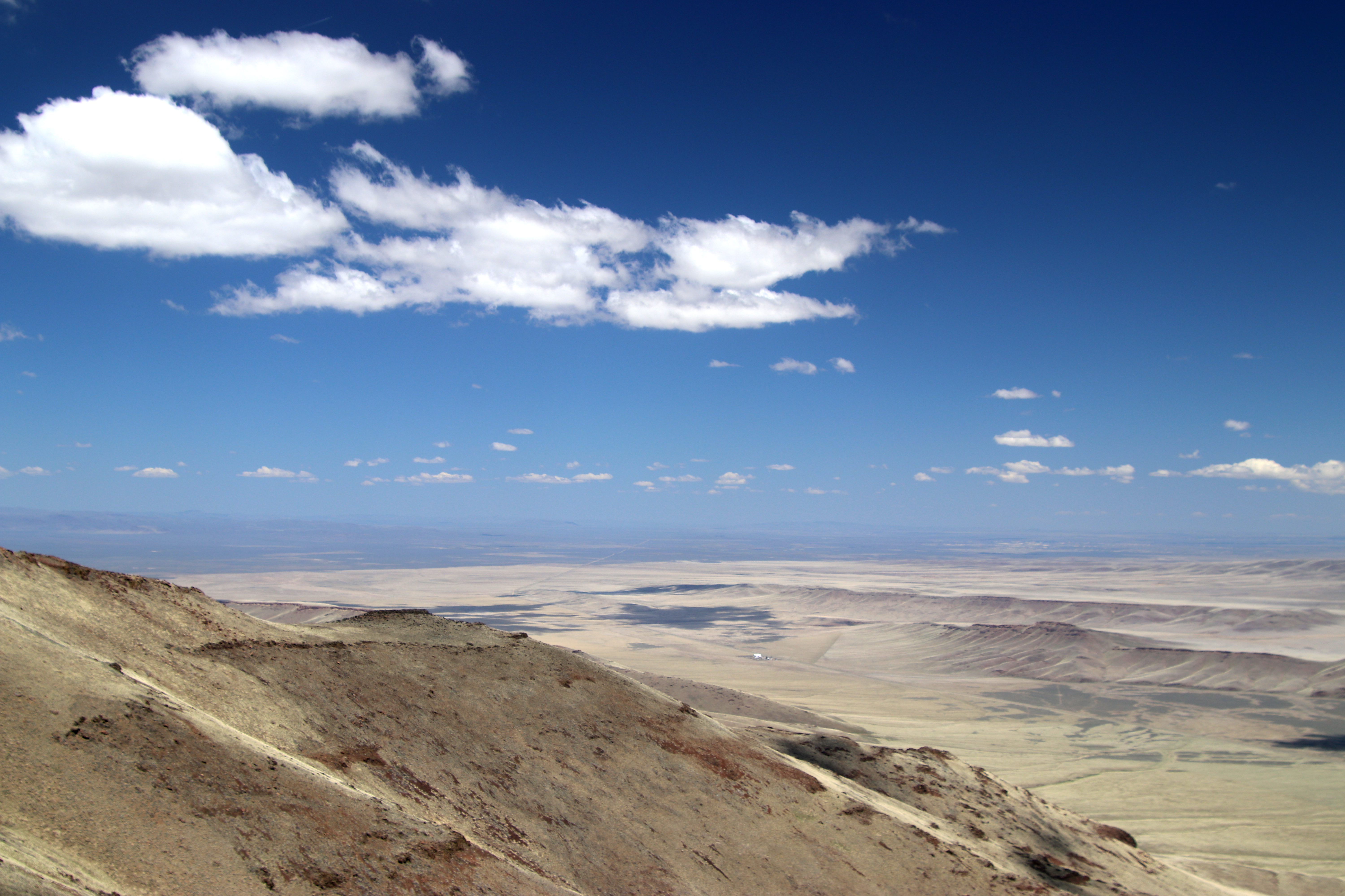
The trail up to New Army pass is similarly gentle grade. The route to Cirque leaves the trail at that point and follows the namesake cirque around to the summit over boulders of various sizes. Traveling over and around these boulders varies from very easy to maddeningly more difficult than I remembered from 50 years ago. This is where we ran into a bit of trouble.
As we approached the summit Bill and I found ourselves amidst some large boulders and suggested to Al the he might have an easier time contouring around lower to the south. When Bill and I emerged over the top of this boulder field we no longer could see Al, so we began to call out to him. No reply.
We called and called, still no reply. I began to get worried, imagining all kinds of terrible fates that might’ve befallen Big Al. The wind was blowing fairly briskly and the lower contour had enough of a drop off that our voices might be going over Al’s head. Bill and I are big guys with big voices so we decided to yell out in unison.
Finally we spotted Al and saw that he was well below us. We got his attention (whew!) and at that point Bill decided to go back down with Al. They were done. Bill said he knew I was experienced enough to be able to solo down. Like me, he had done Cirque and Langley as a teenager and had no problem turning around so close to the summit.
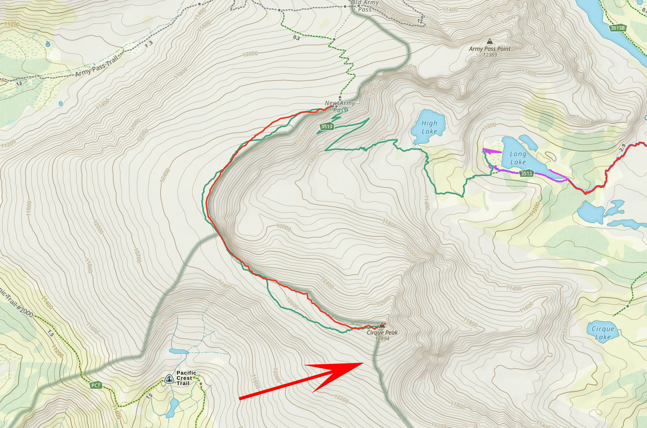
Here is a screenshot of my track up (red) and track down (green). Where they diverge near the summit is where we avoided the boulder field and the going was much easier. The red arrow points to where we spotted Al and got his attention after he contoured too low around the boulders.
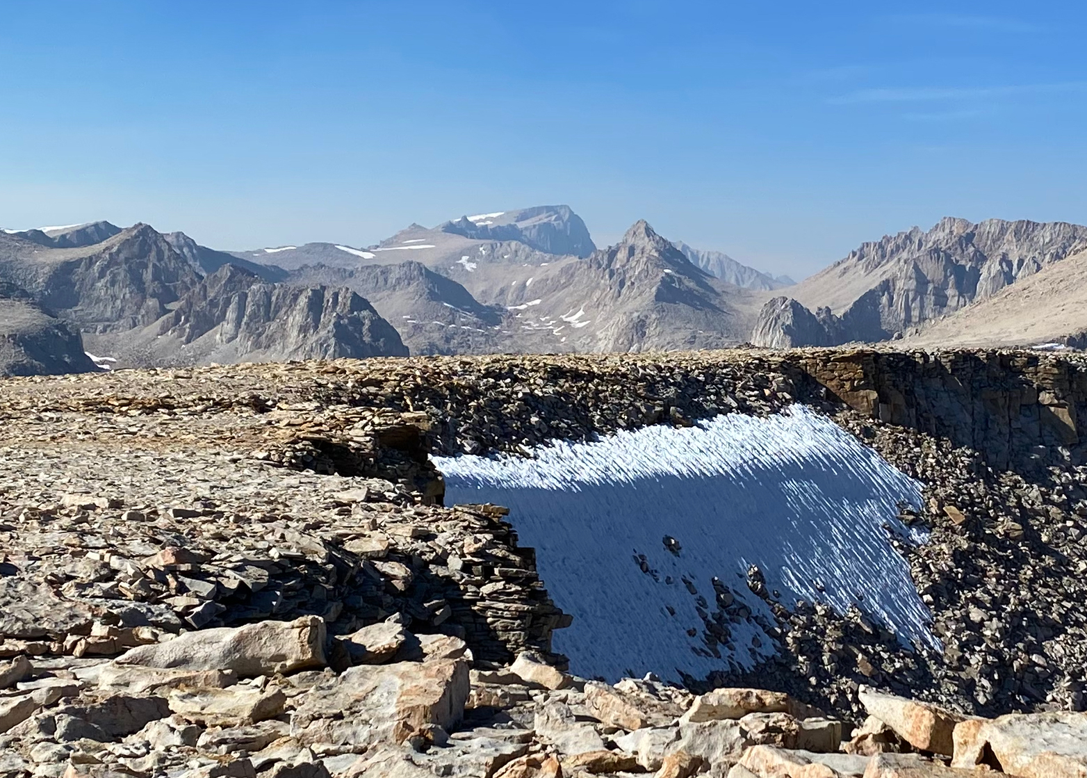
Here is my track down. It is probably an easier route than the one we took up.
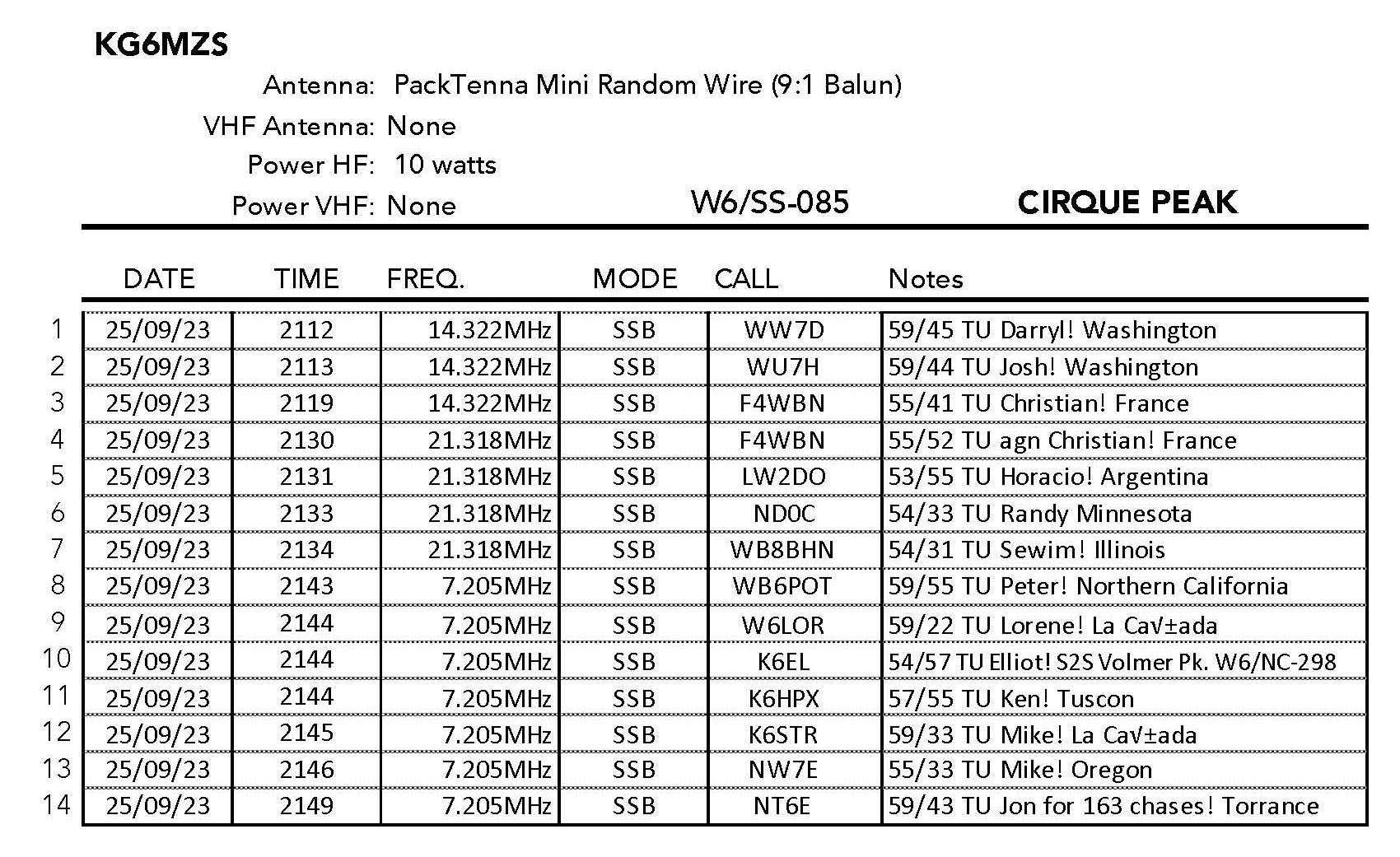
I continued on the short distance to the summit an arrived shortly after 2 PM – much later than I expected. This might’ve been a blessing in disguise as both Lorene W6LOR and Jon NT6E told me there had been a solar storm that had made 20m and 40m pretty miserable earlier.
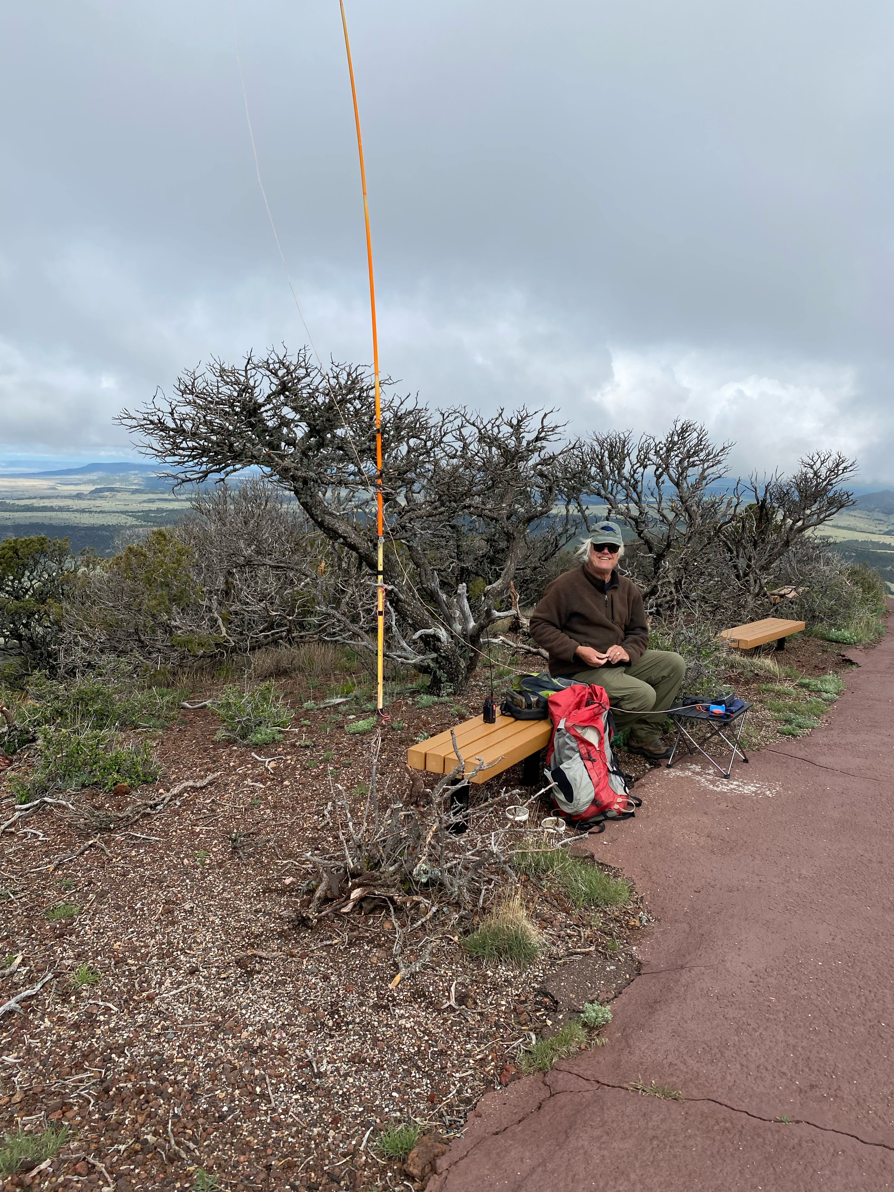
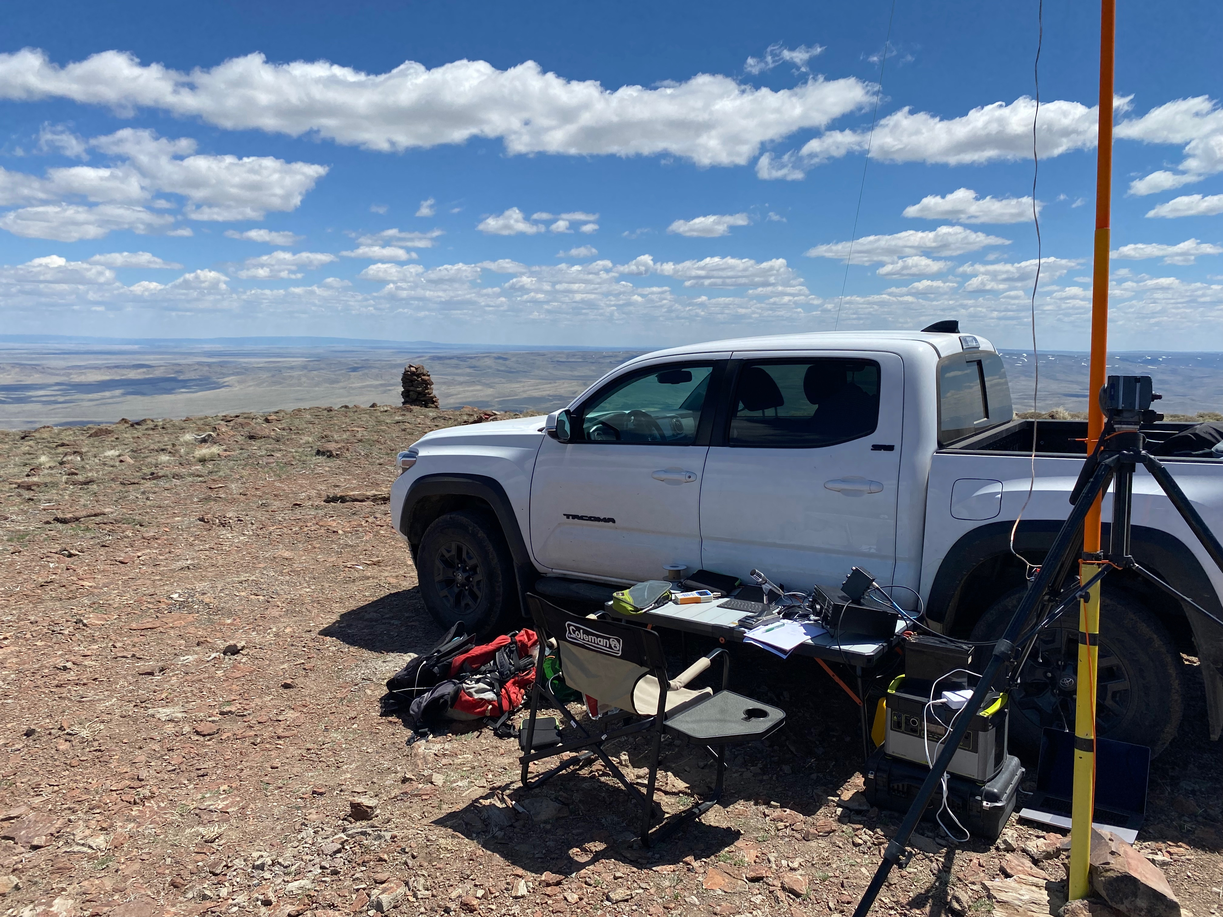
Some people call it “activating a SOTA summit.” I like to call it “What Did I Forget This Time?” 🙂 In this case I had left my nice SOTABeams carbon fiber mast back at Whitedog, so I had to MacGiver my trekking poles into a makeshift mast.

I started out on 20m and quickly got Darryl WW7D and Josh WU7H up in Washington, but my reports from those guys were poor. I was surprisingly hoarse from all the yelling I had done earlier. Next I was called by super chaser Chris F4WBN, but he could barely hear me and gave me an uncharacteristic 41.
After those three – nada on 20m. I started to wonder if Goat was not to be on this quirky day.
I switched to 15m and Chris came back with a better report: 52. I don’t know if that counted for Goat being the same station, albeit on a different band.
It all became moot when the surprising next call came immediately on the heels of Chris’ call: LW2DO Horacio in Argentina! Wow! Five QSOs on three continents! I was ecstatic! I had joined the Herd!
After that the bands improved and the calls came easily. I wanted to stay and enjoy the opening and get as many of my SOTA friends in my Goat Log as I could, but I gave myself a 3pm cutoff. I did hold out until I got my #1 chaser, Jon – the former K6LDQ and current NT6E – on his astounding 163 chase on my 211 activations.
THANK YOU EACH AND EVERY CHASER FOR MAKING ME A SOTA MOUNTAIN GOAT! I could not have done it without you.


Leave a comment