
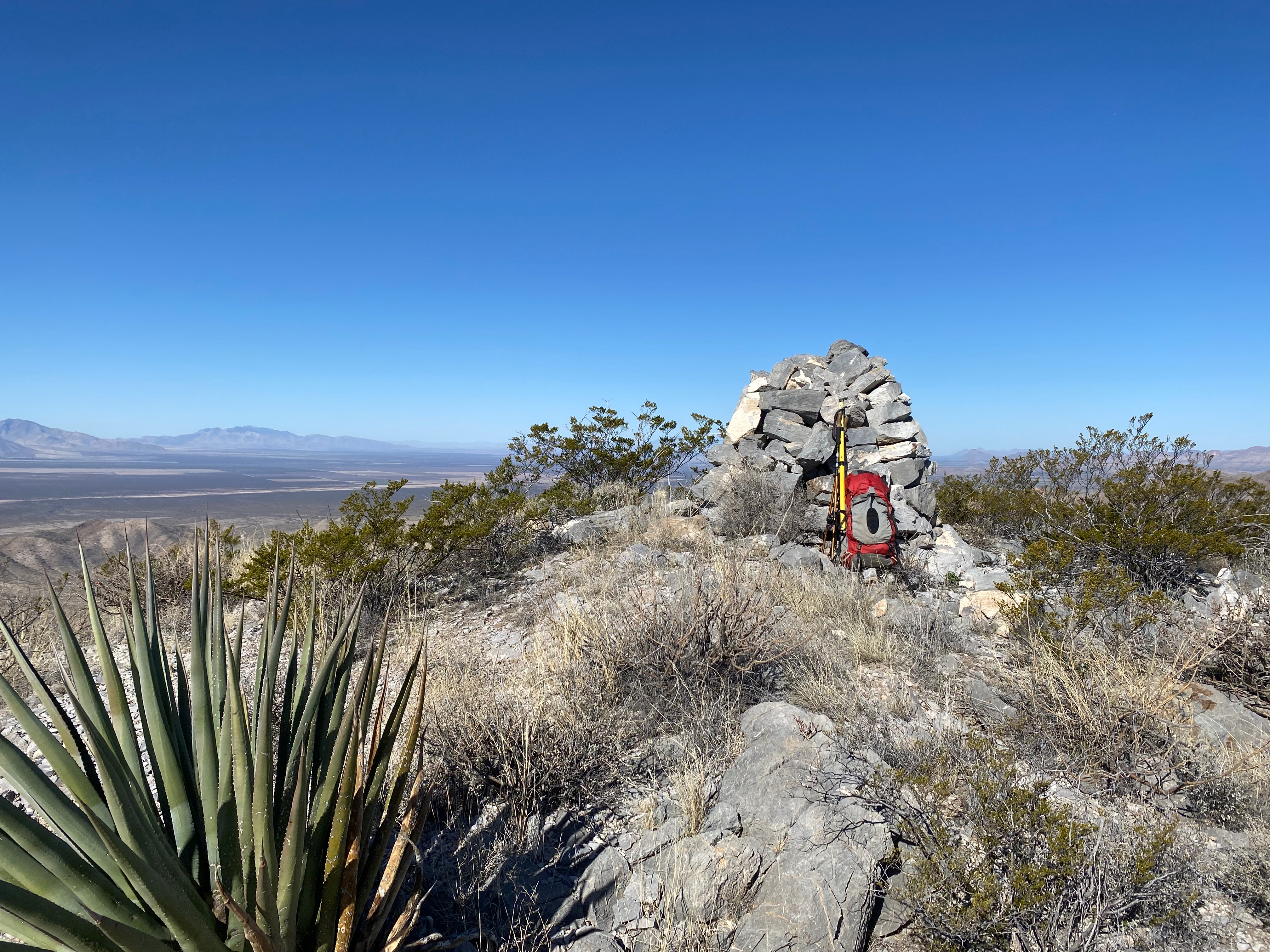
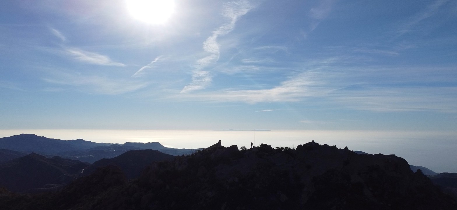
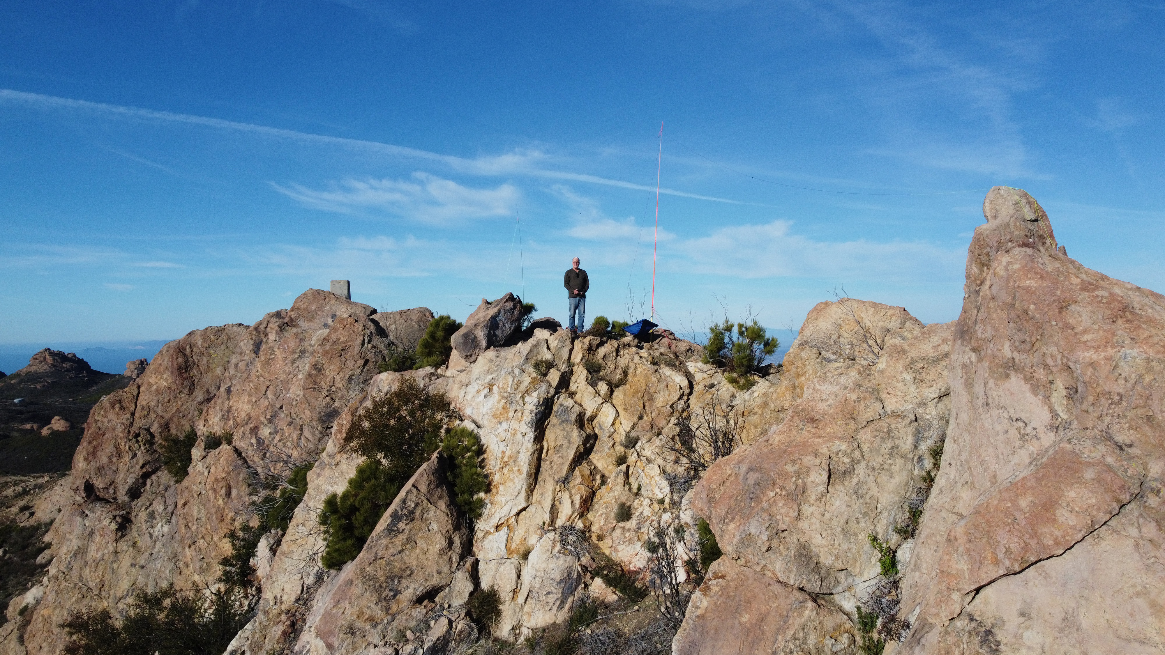
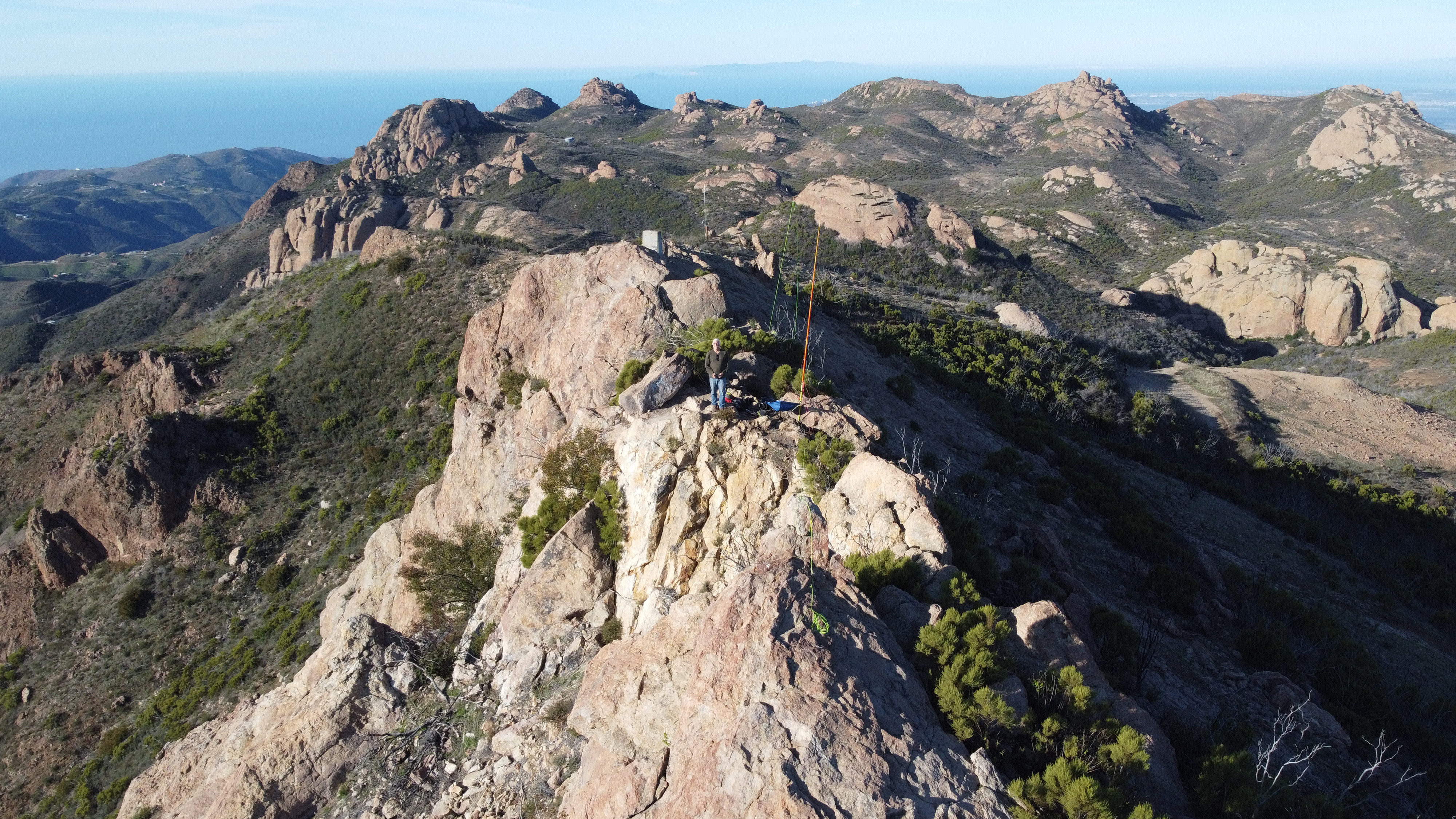
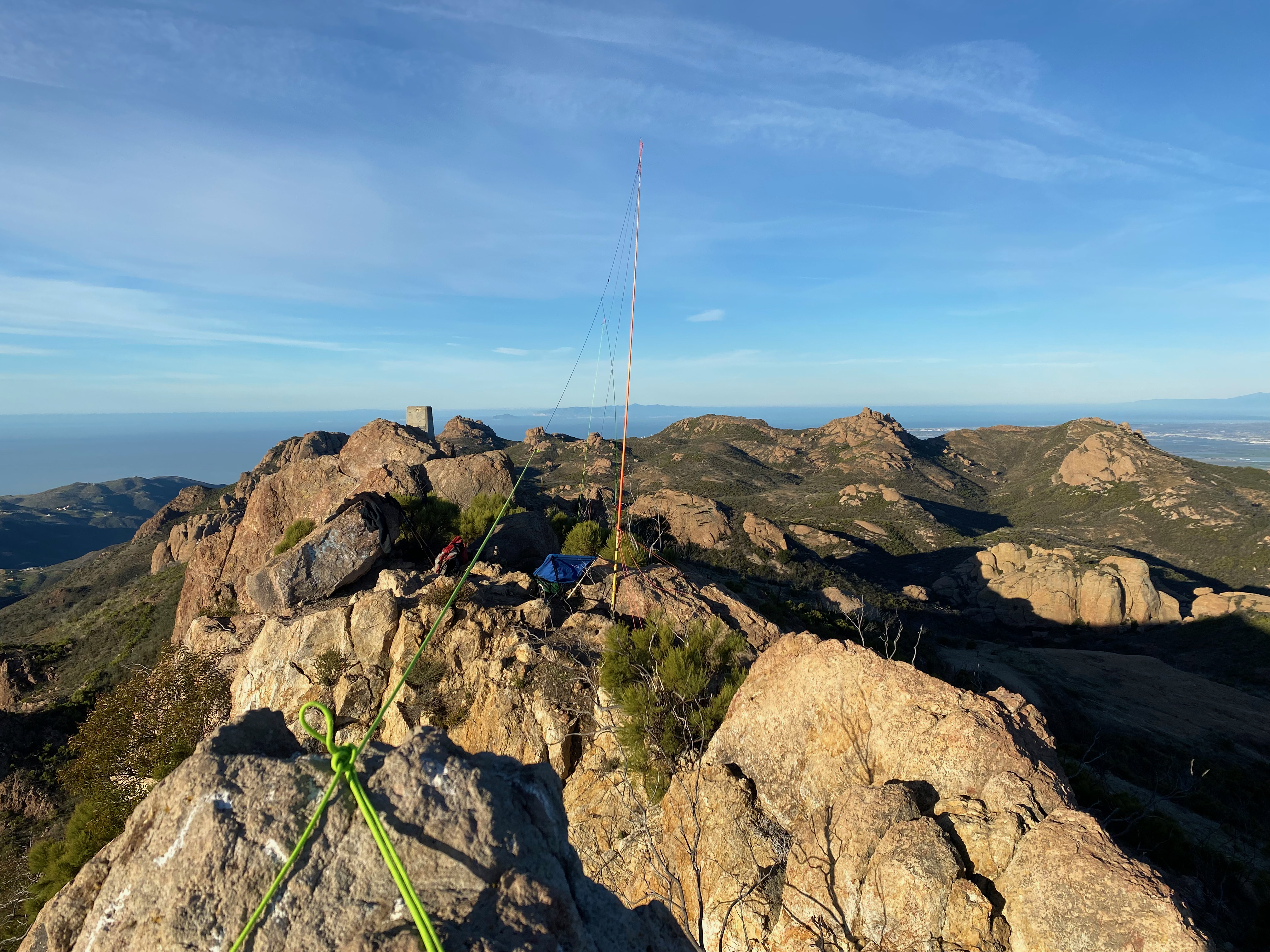
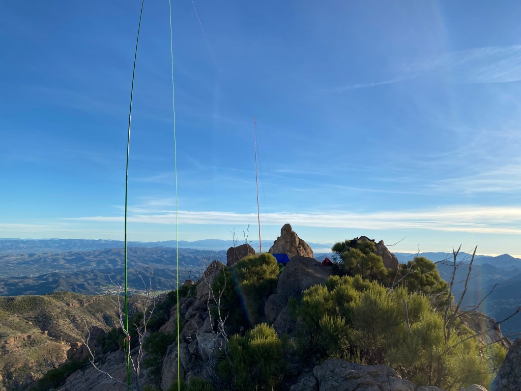
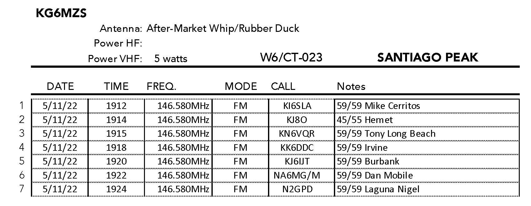
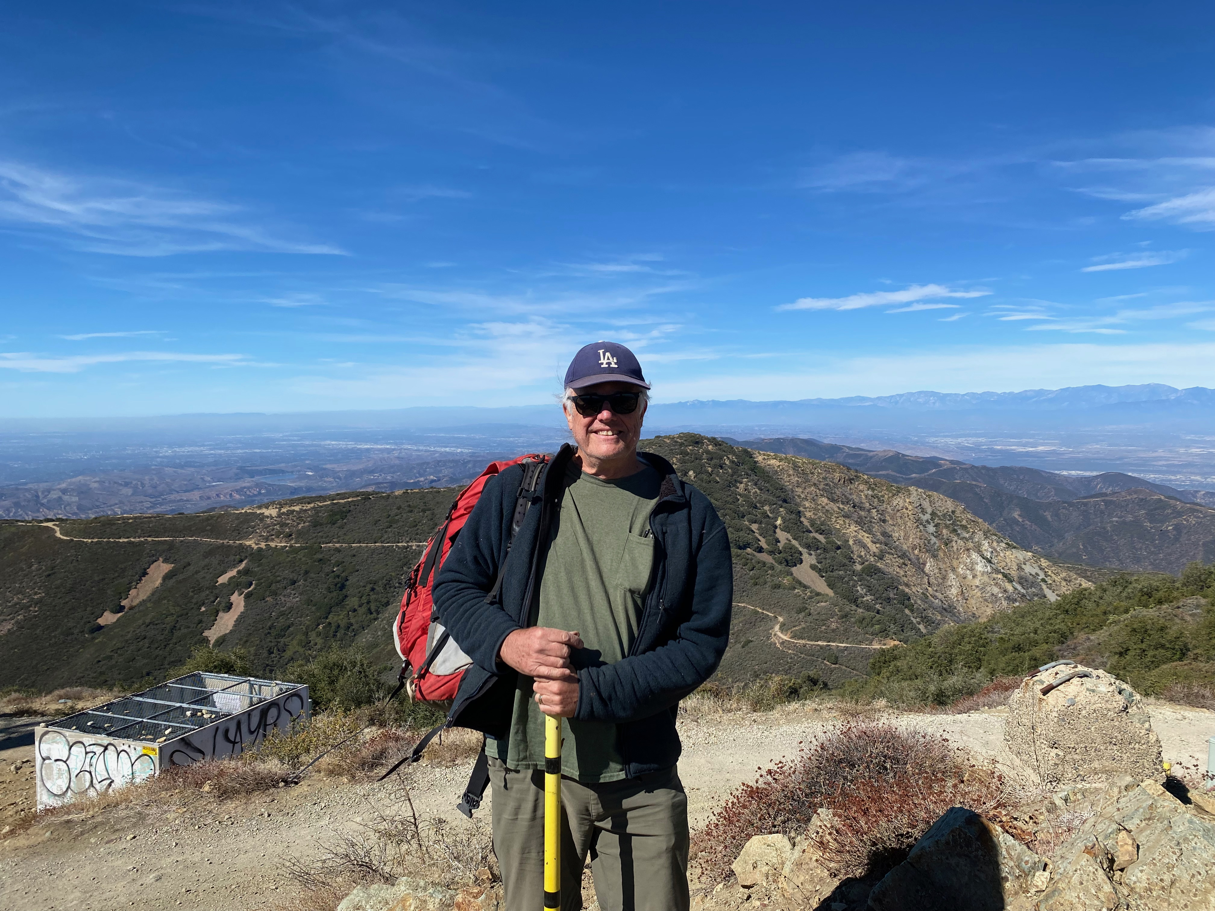
Here’s the station on the summit with the Organ Mountains near Las Cruces in the background. Looking east.
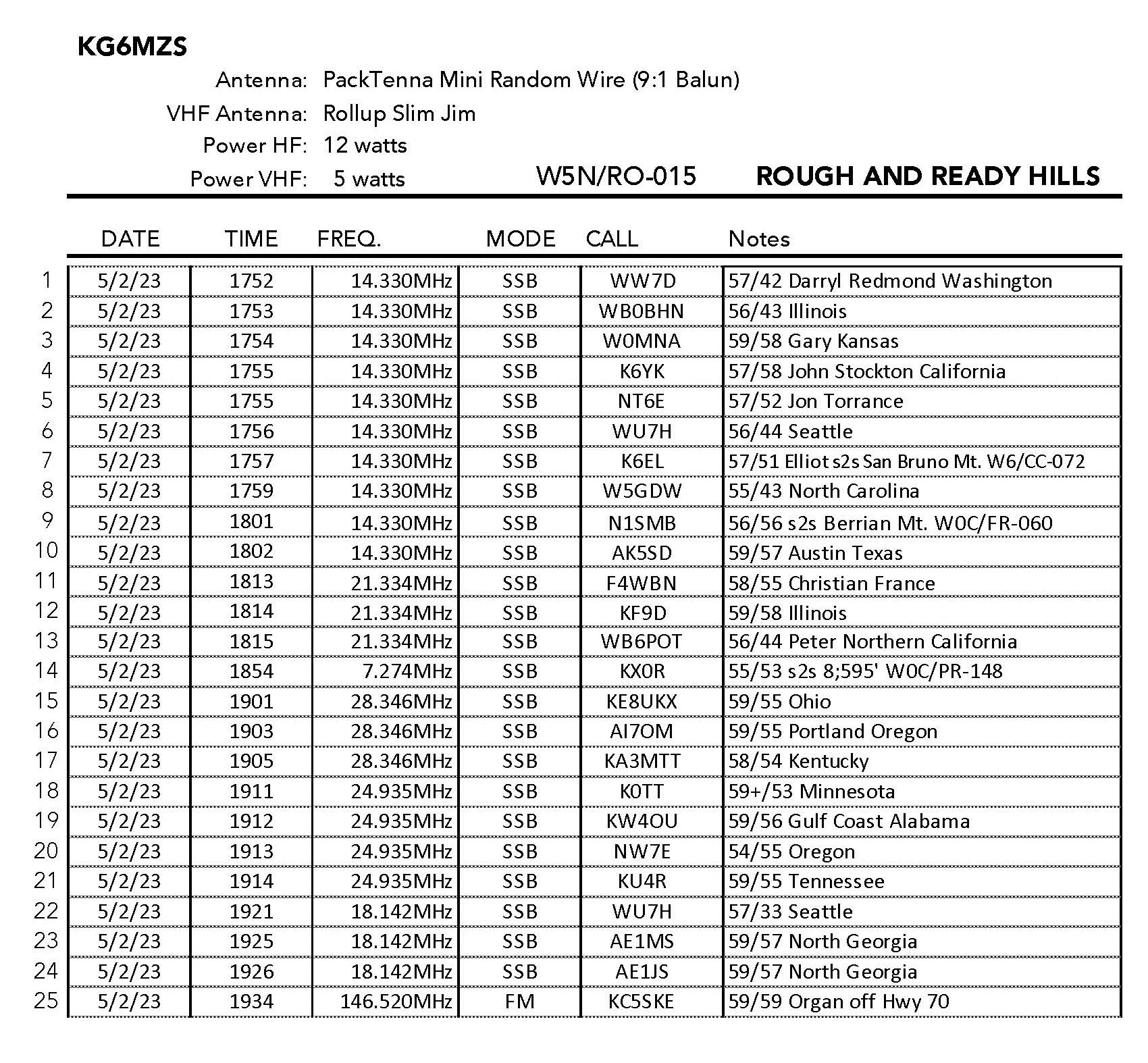
5 FEBRUARY 2023 W5N/RO-015

| Elevation: | 4,580′ |
| Route: | Cross country |
| Hike Distance: | 2.2 miles round trip |
| Elevation Gain: | 800′ |
| Navigation: | Tricky |
| Steepness: | Extremely steep |
| Vehicle: | Passenger car |
| Road: | Good dirt road |
| Cell Coverage: | n/a |
This was one of my more goofy days is pursuit of a SOTA summit. Originally I had thought to try and activate a summit in Texas. I spent the night in Las Cruces with the idea of dropping down very early in the morning to El Paso and activating South Franklin Peak. It turns out I would’ve done well to visit the Franklin Mountains State Park website before attempting this plan. The Ron Coleman trial to the summit has been closed since March 2021 and k-rails block the parking area. So much for my very first visit to the Lone Star State.
Okay, so punt. Not the first time that I needed to resort to a plan B.
After exiting on the Corralitos Road off ramp I found it necessary to drive back 1.3 miles on the north side frontage road to the actual Corralitos Road. After that left turn I followed the paved road 11.8 miles to a dirt road on the right. The parking area is about a mile down this somewhat rough dirt road.
When I got to the parking area there was a passenger car already parked there. Great I thought, who else could this be but another SOTA activator? That turned out to be a fateful assumption.
The last recorded activation of the Rough and Ready Hills was 8 years ago and in that description the activator described the trail as petering out about a quarter of the way up. What I found at this point was a very well established trail (wooden steps!) continued on up. I figured that this most be the way to the top. My third mistake.
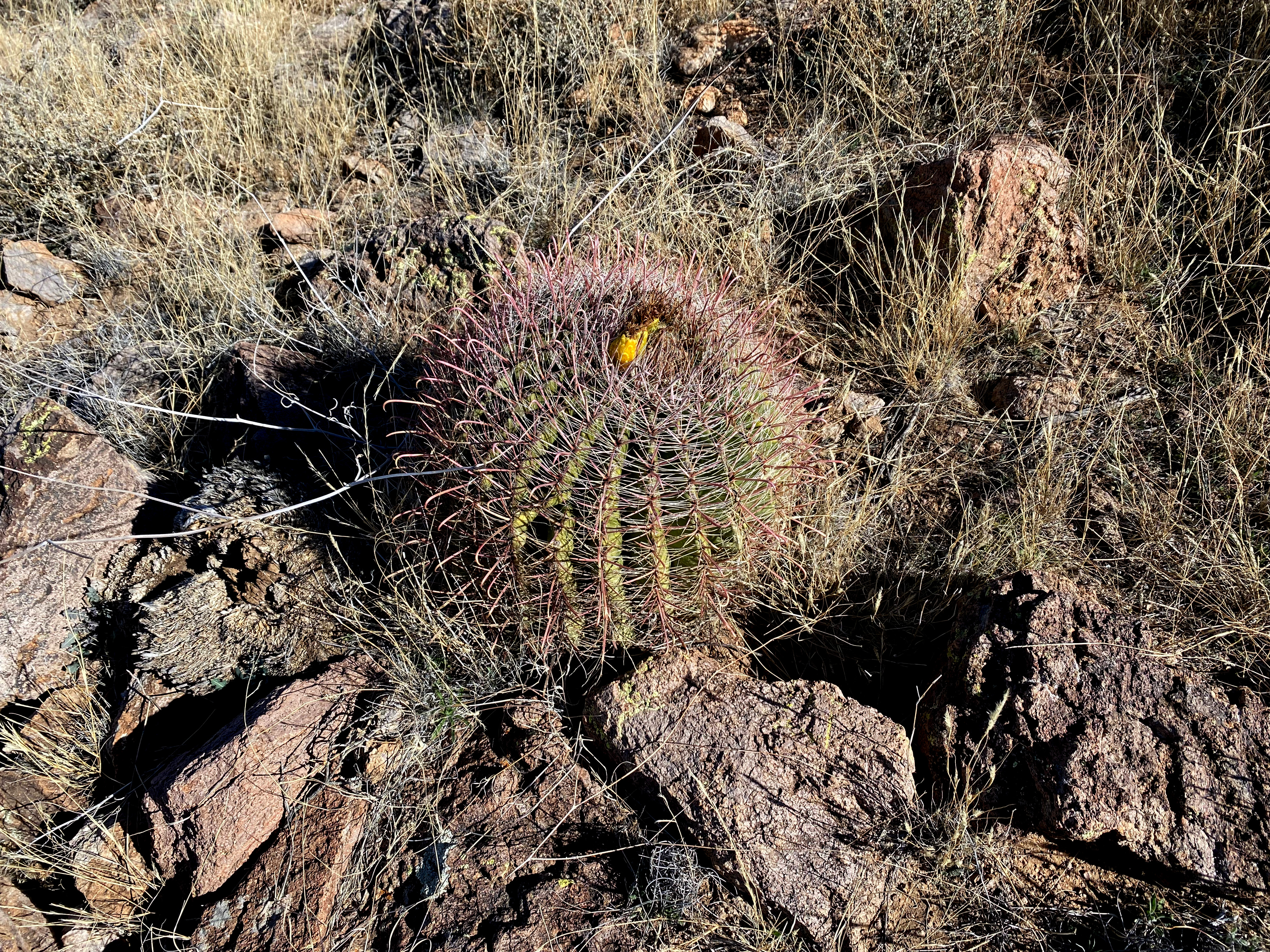
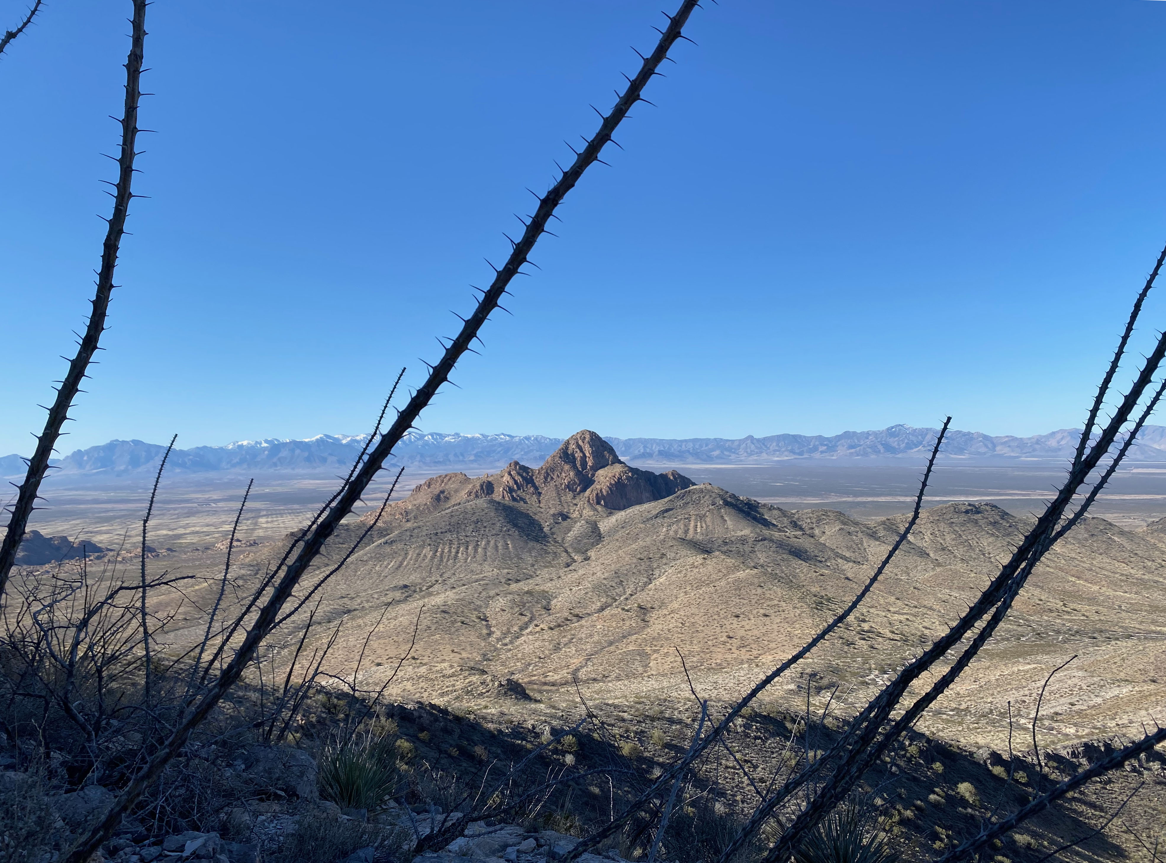
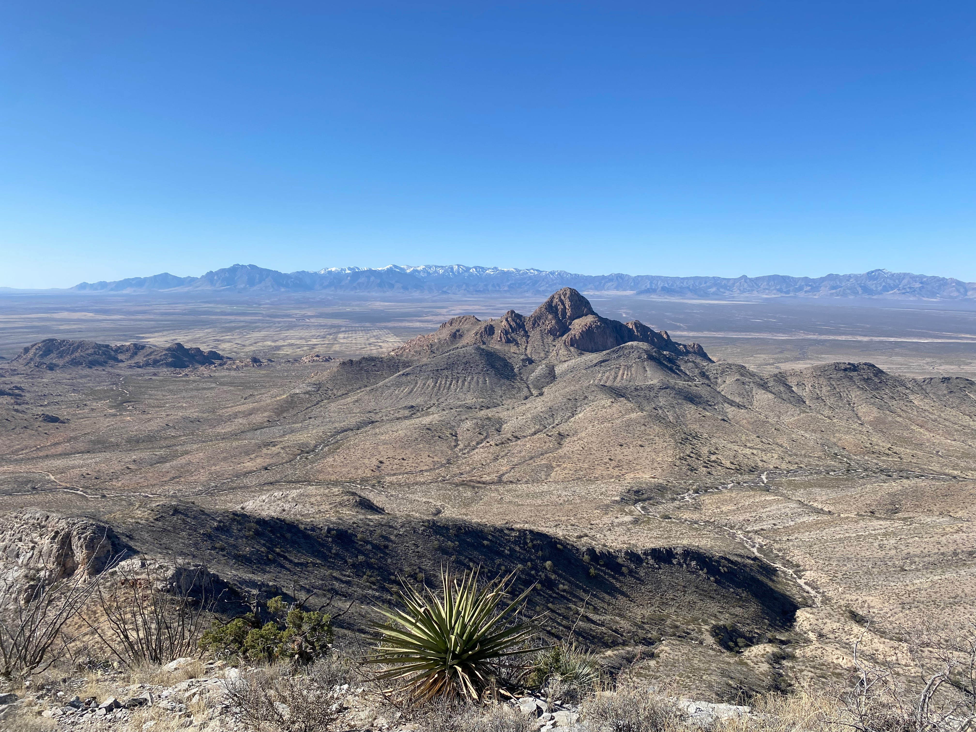
The trail contoured around up the northeast corner of the mountain and here I found a group of three rock climbers racking up gear getting ready to climb. This explained the car at the trailhead and the well established use trail. This is now a popular rock climbing destination. The guys were starting a 5.7 climb (just my speed!) and said they thought there was a walk-off trail from the top. I continued on figuring I’d find that trail. I did after a long traverse along a very cool ledge system on the east side of the mountain. A very well marked (duck cairns) trail led to the summit to the south side of the actual summit, so with some elevation loss, I made the top.
Here is a short video showing the long route 2 way and the shorter route 1 way:
The wackiness of the day didn’t stop there. Once on the summit I discovered that the small pouch that attaches to my sternum strap was missing. This contains my little Garmin InReach Mini and my cell phone!
After careful consideration I suspected they were at the saddle that marks the divergent point of the two routes. I had rested there. Sure enough I recovered the pouch and returned to the summit to have a wonderful activation with three summit-to-summit contacts.
This made my hike 2.5 miles with about 1,000′ of elevation gain. Short of leaving the gear in the saddle, I would recommend this delightful variation on the standard route.


Leave a comment