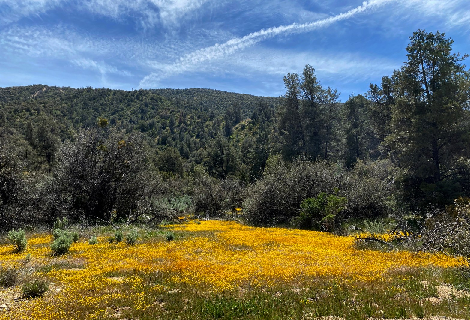
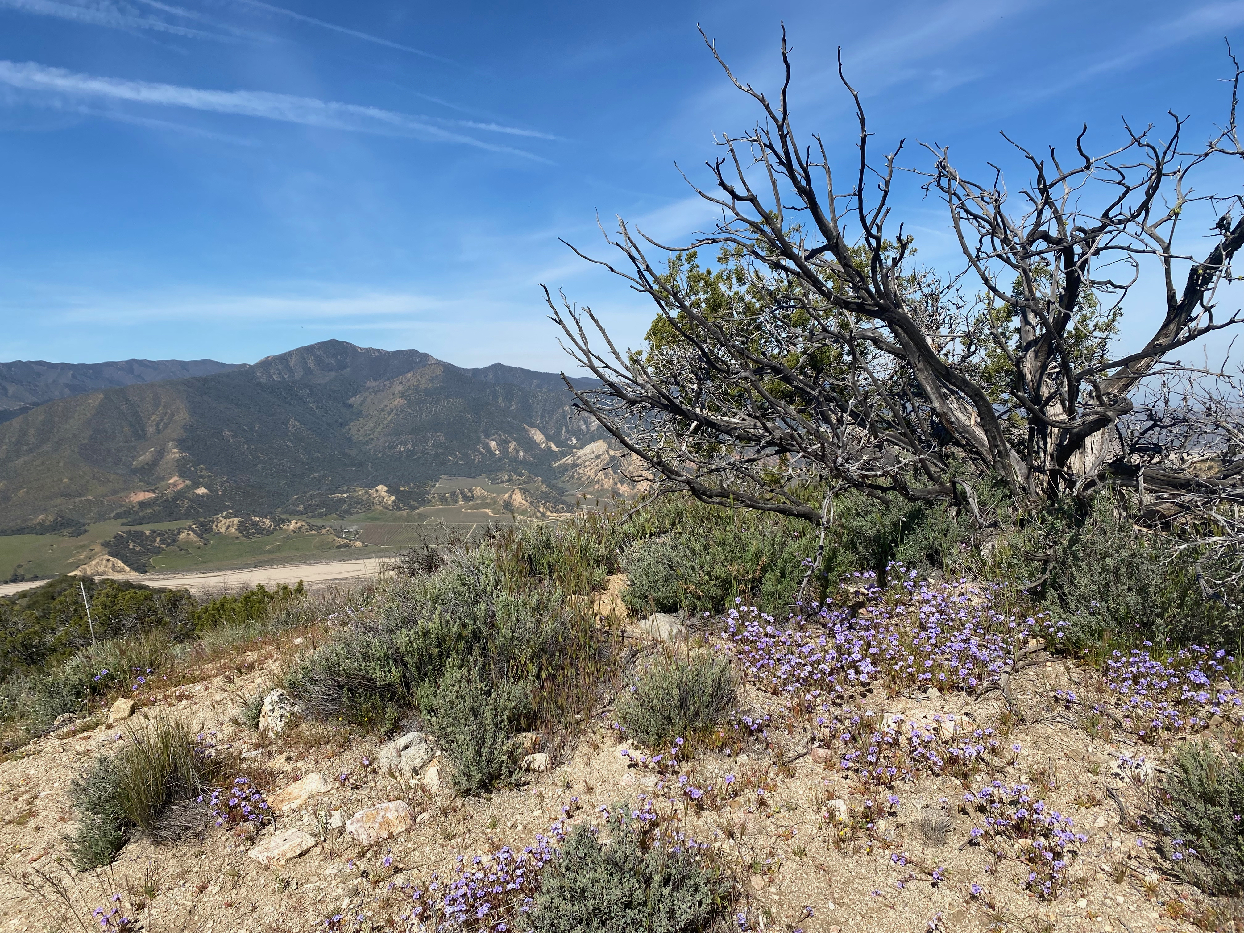
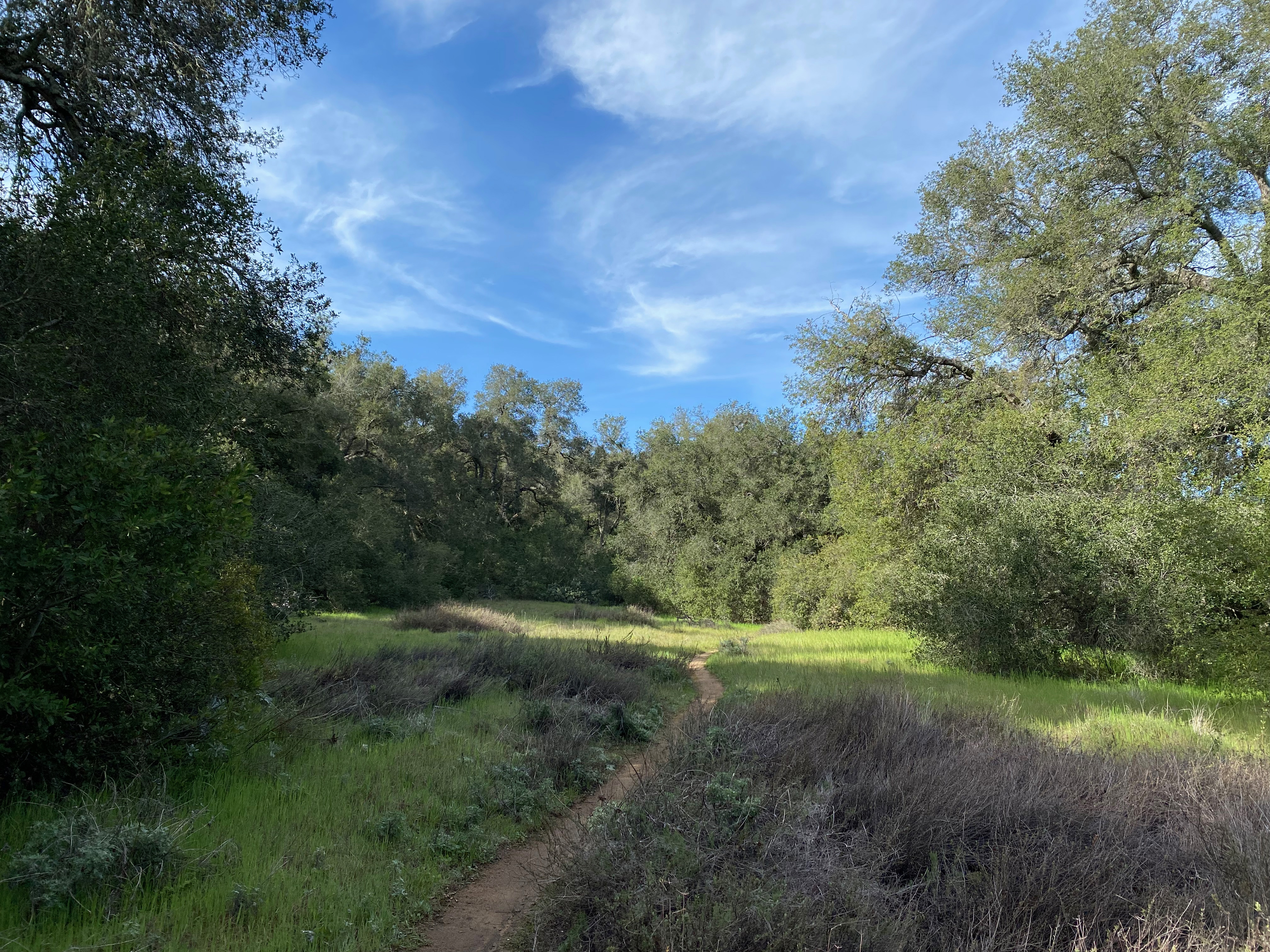
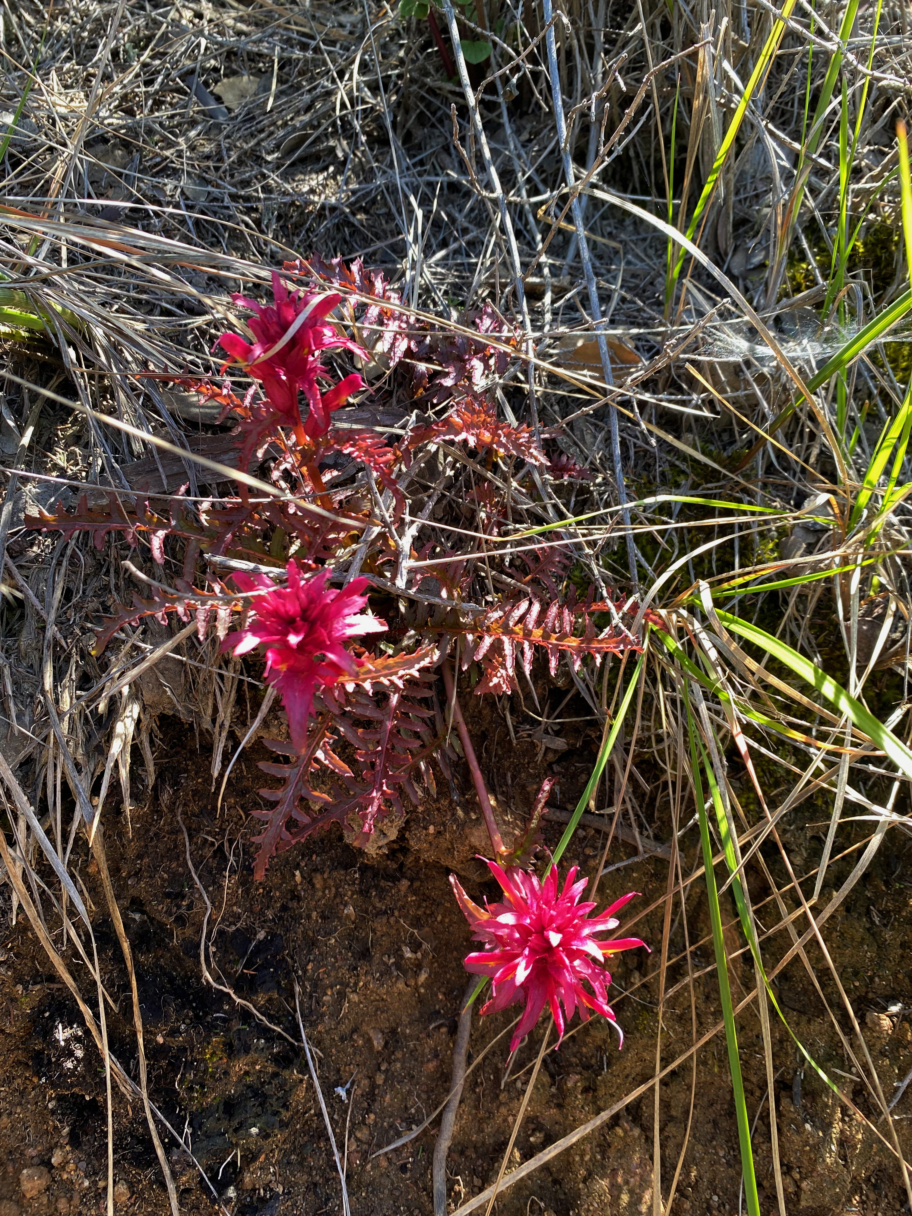
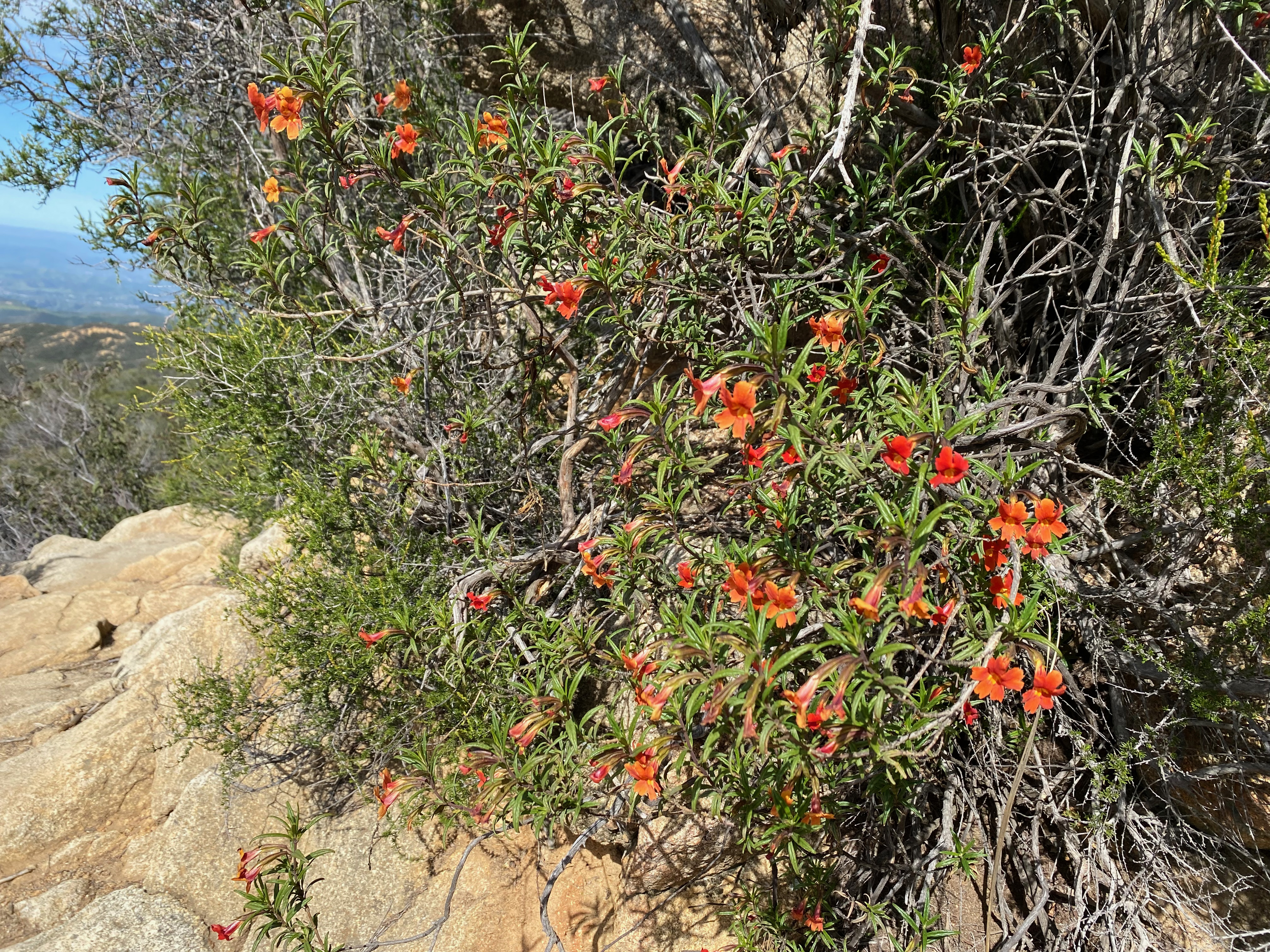
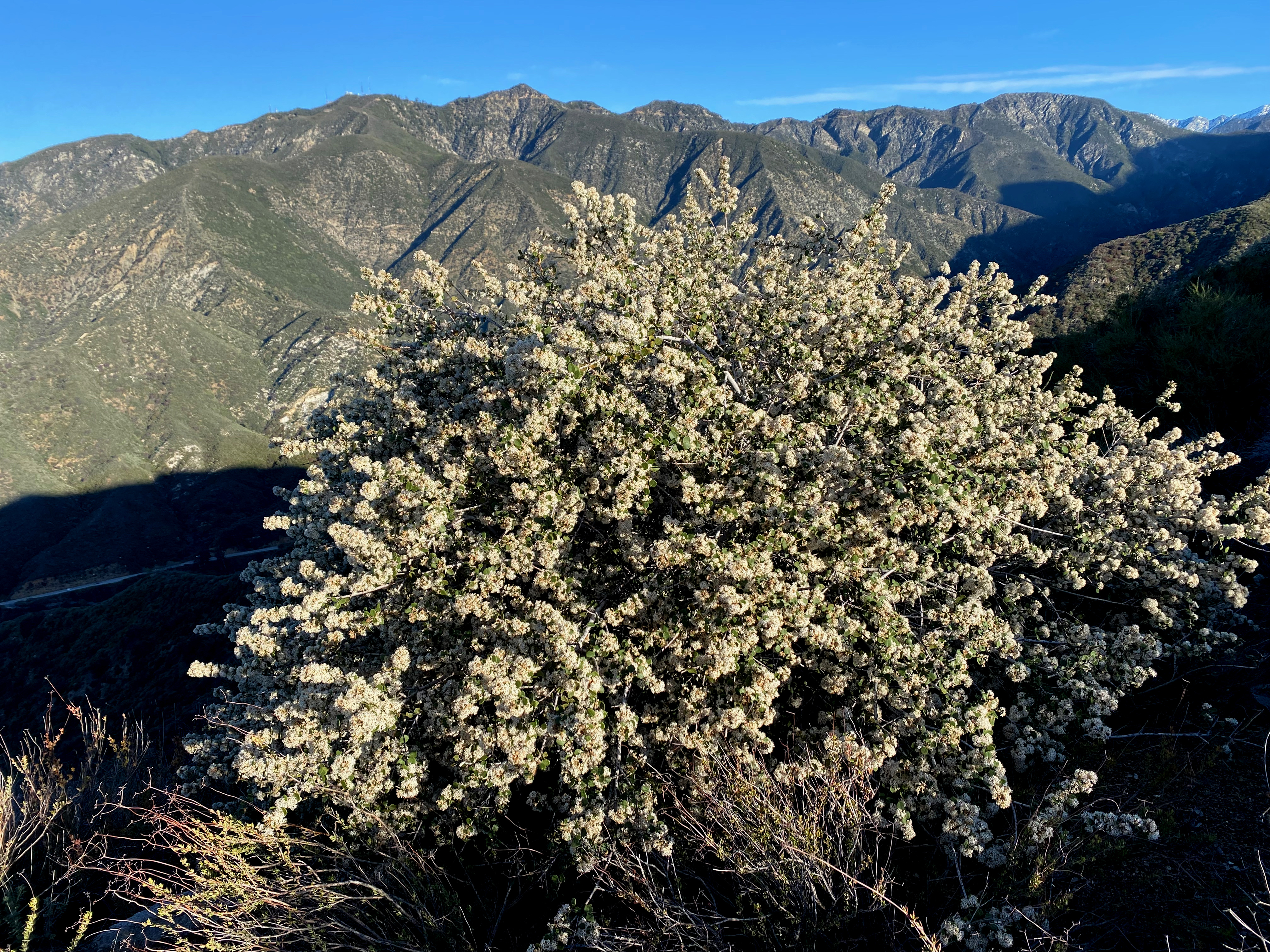
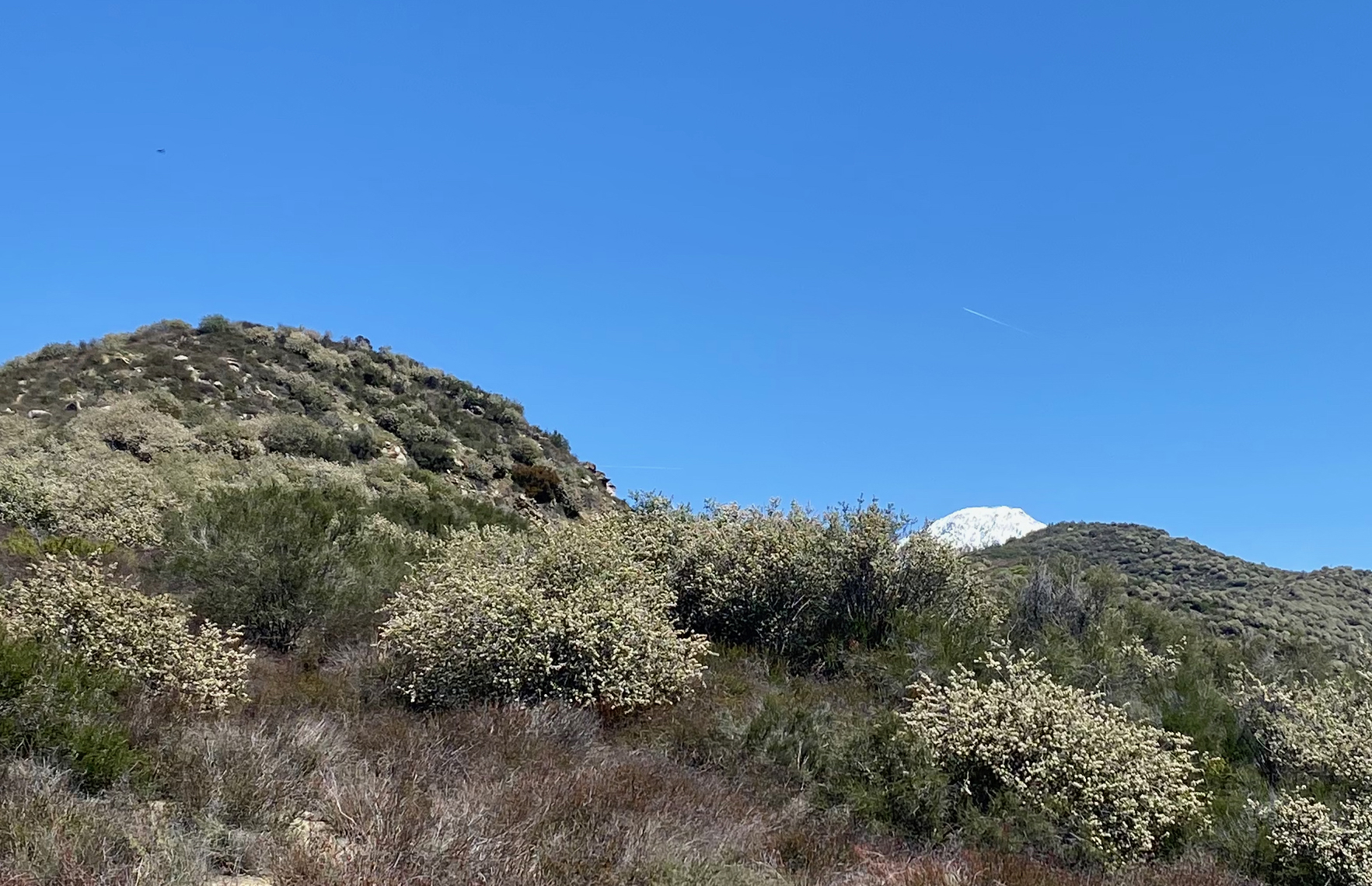
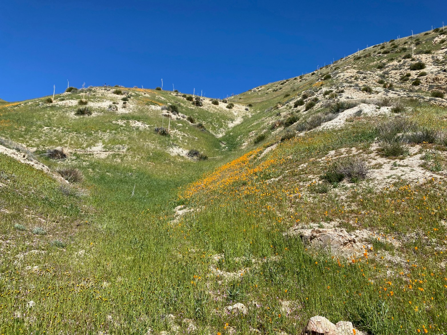
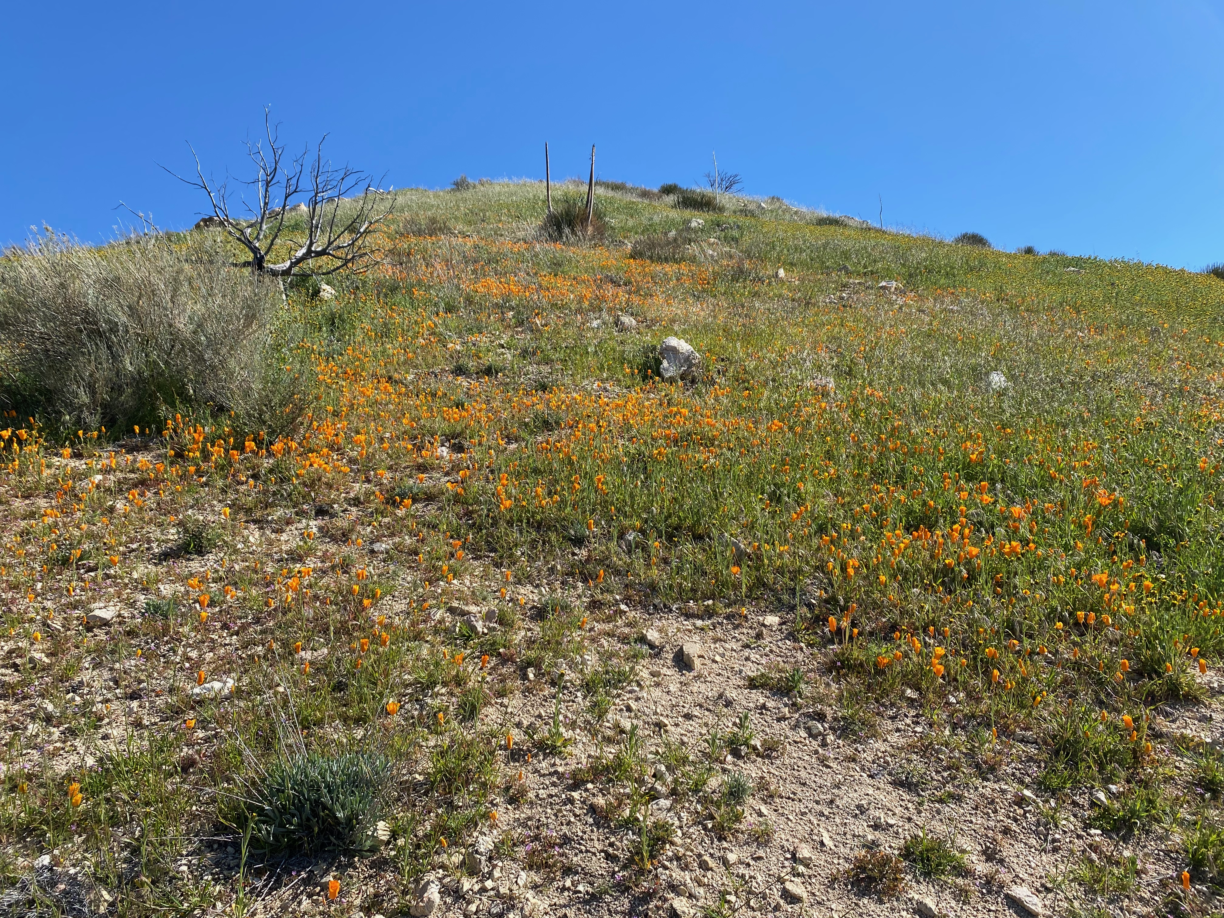
Apache Canyon was carpeted for miles with these little daisies.
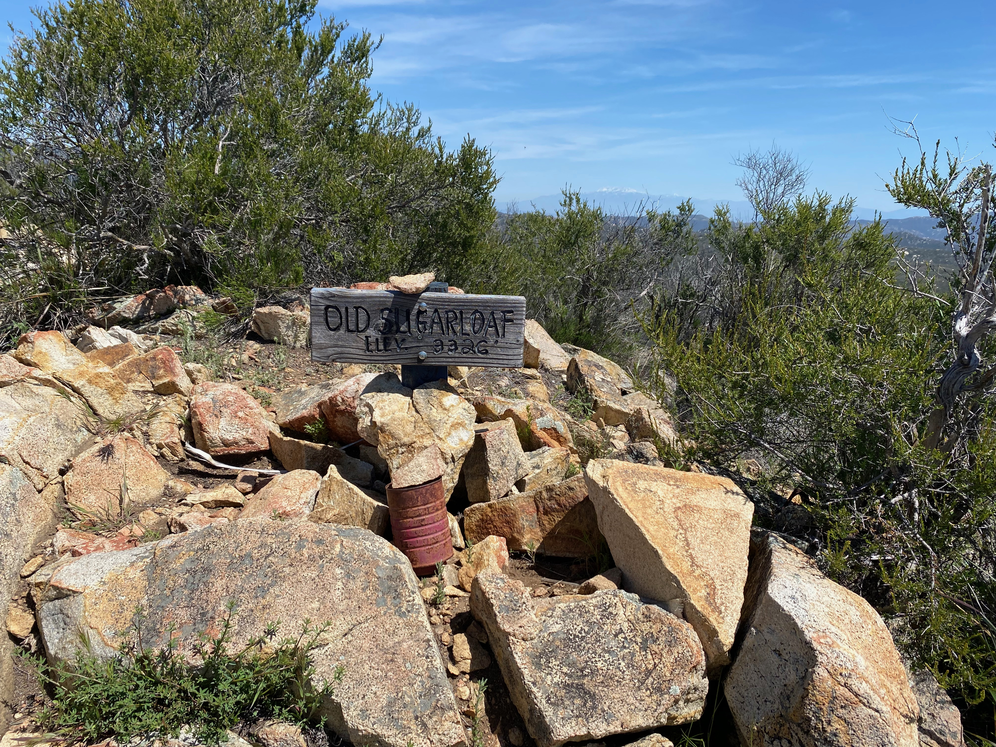
22 APRIL 2023 W6/SC-392

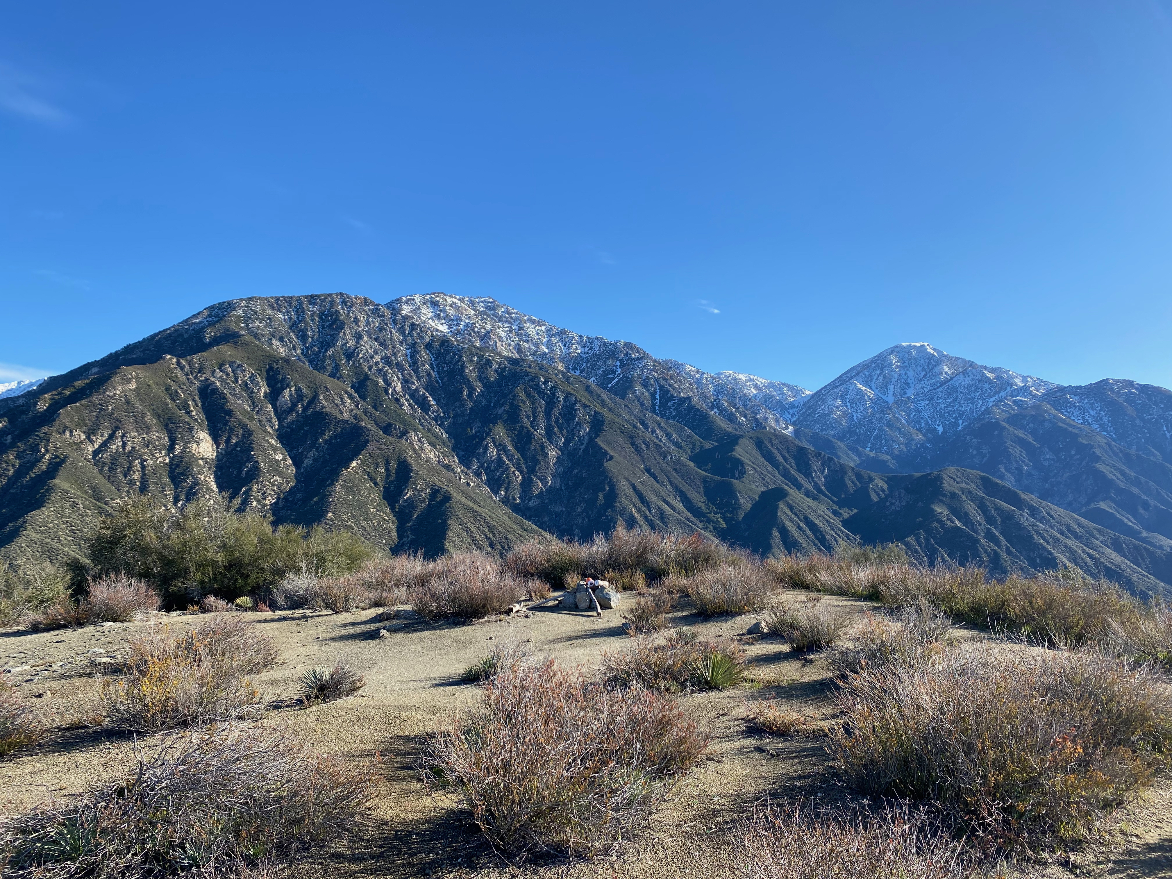
| Elevation: | 4,580′ |
| Route: | Cross country |
| Hike Distance: | 2.2 miles round trip |
| Elevation Gain: | 800′ |
| Navigation: | Tricky |
| Steepness: | Extremely steep |
| Vehicle: | Passenger car |
| Road: | Good dirt road |
| Cell Coverage: | n/a |
I loved this adventure! Great time of the year with comfortable mild weather. I would give this one 3 stars except this is really not a summit for everyone.
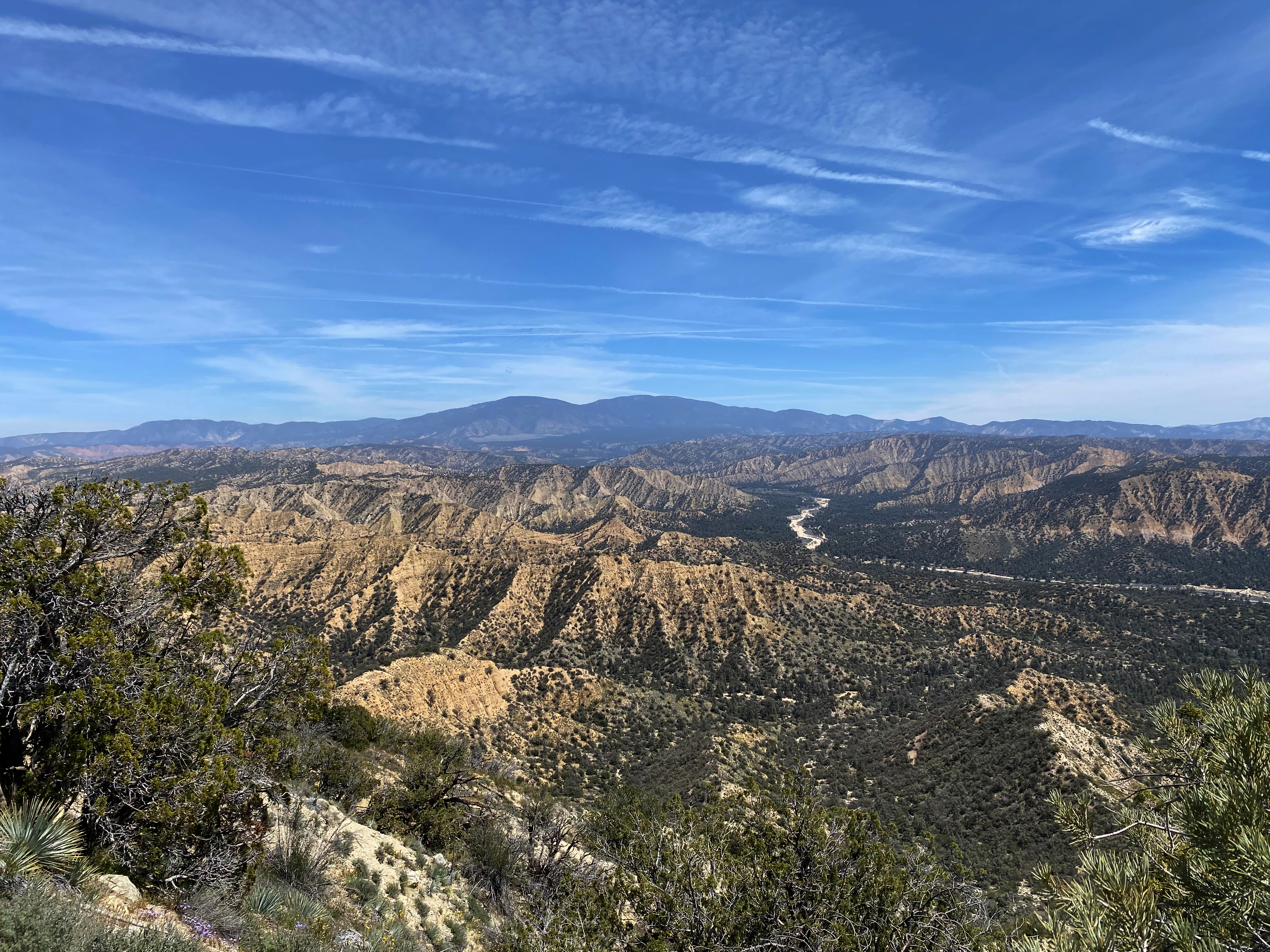
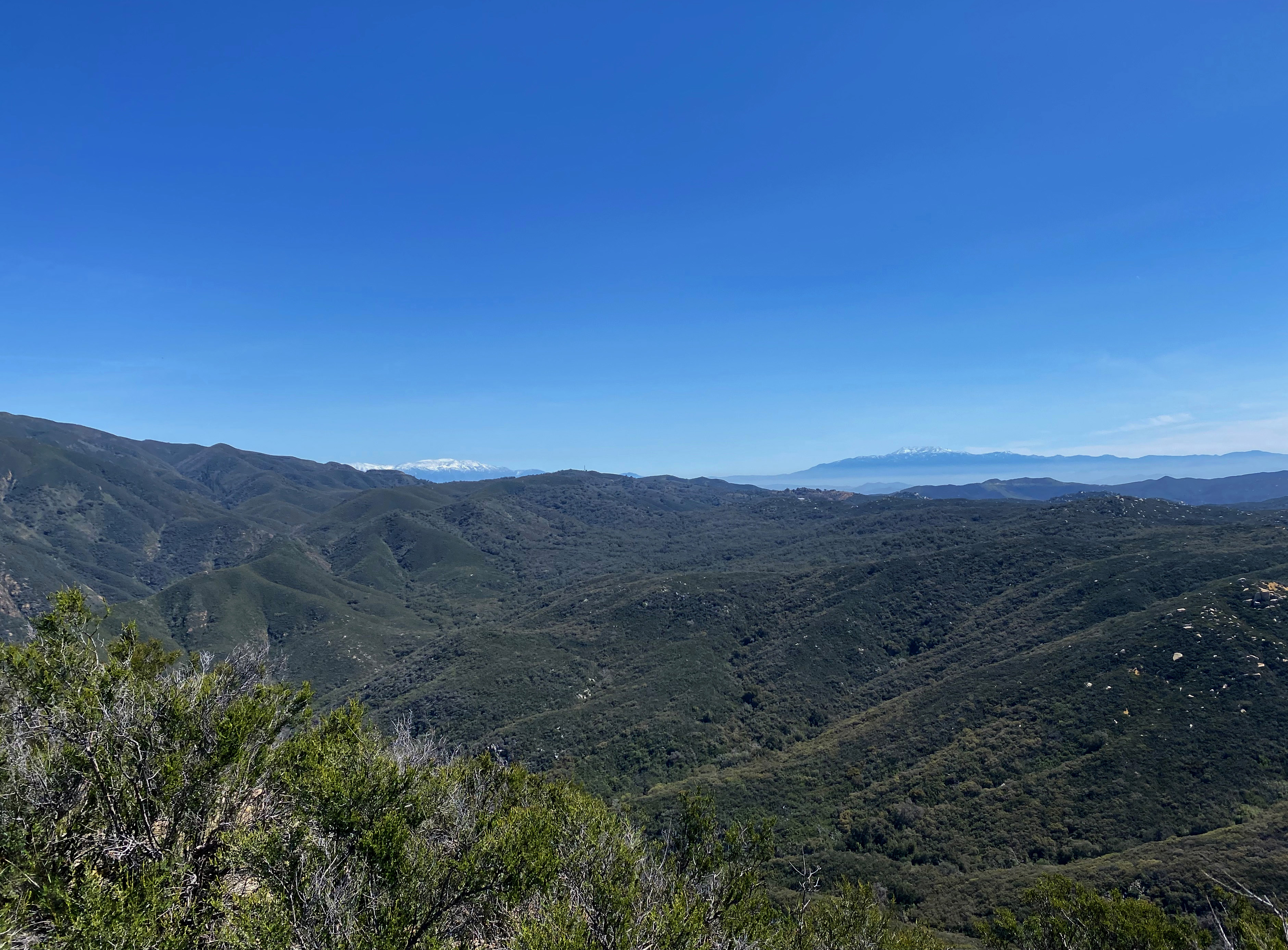
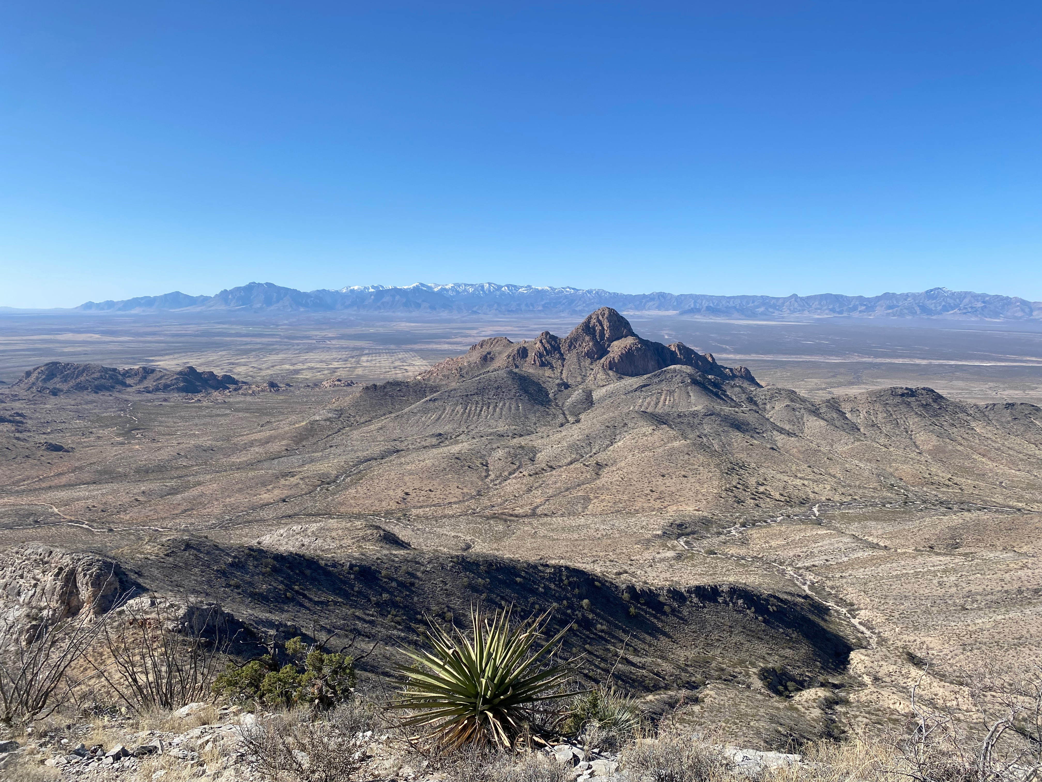
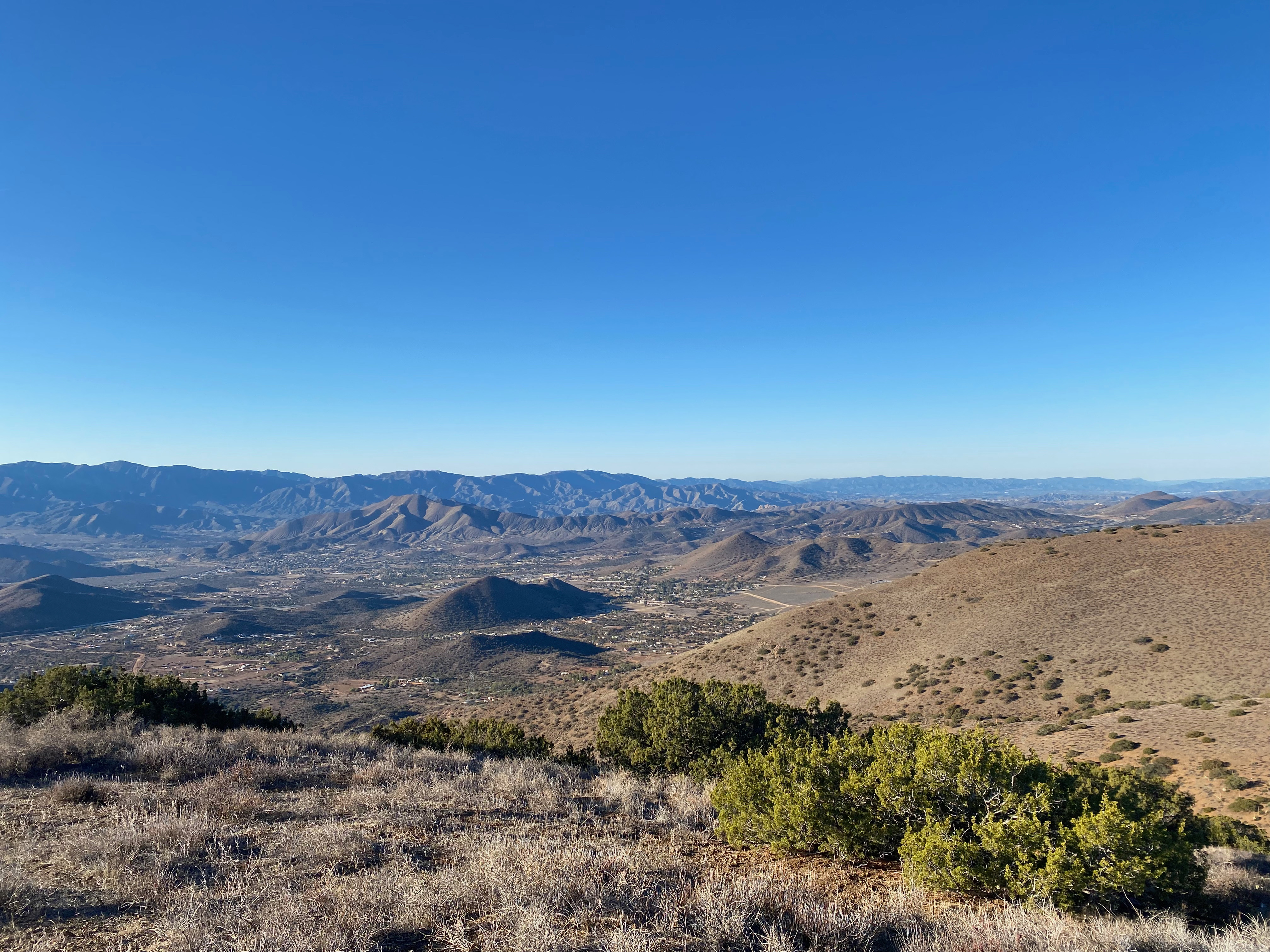
I left my home in Topanga at 4:15 AM and was surprised to see a freeway sign in Oxnard warning the Highway 33 was closed! Fortunately I was able to jump on to the 126 and head to Castaic up the Santa Clara River Valley. All the big creeks – Sespe, Piru and Santa Clara were still very full from all the rain we’d had this season. I was hoping the the Lockwood Valley route was open to the Cuyama Valley along with Apache Canyon.
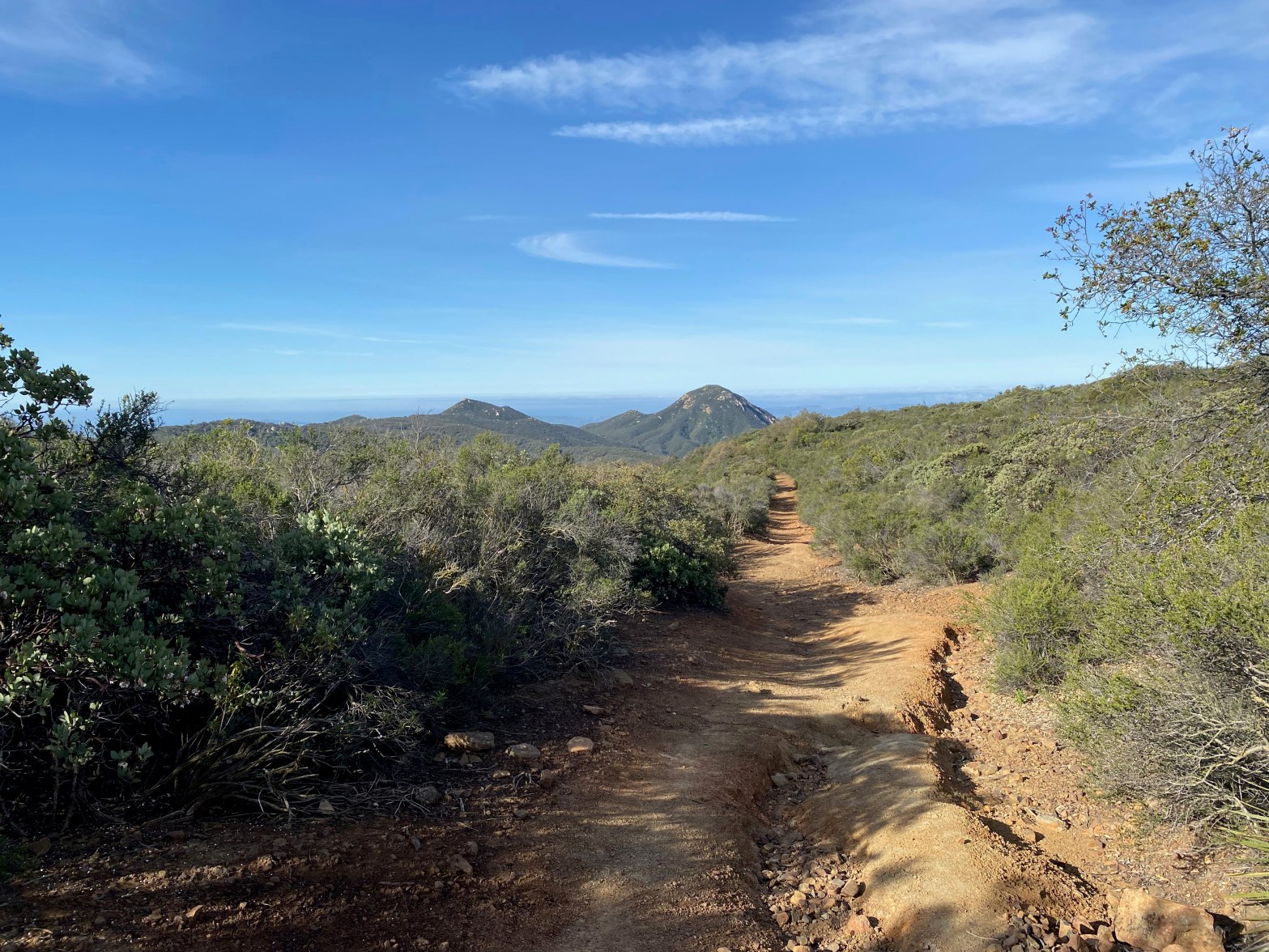
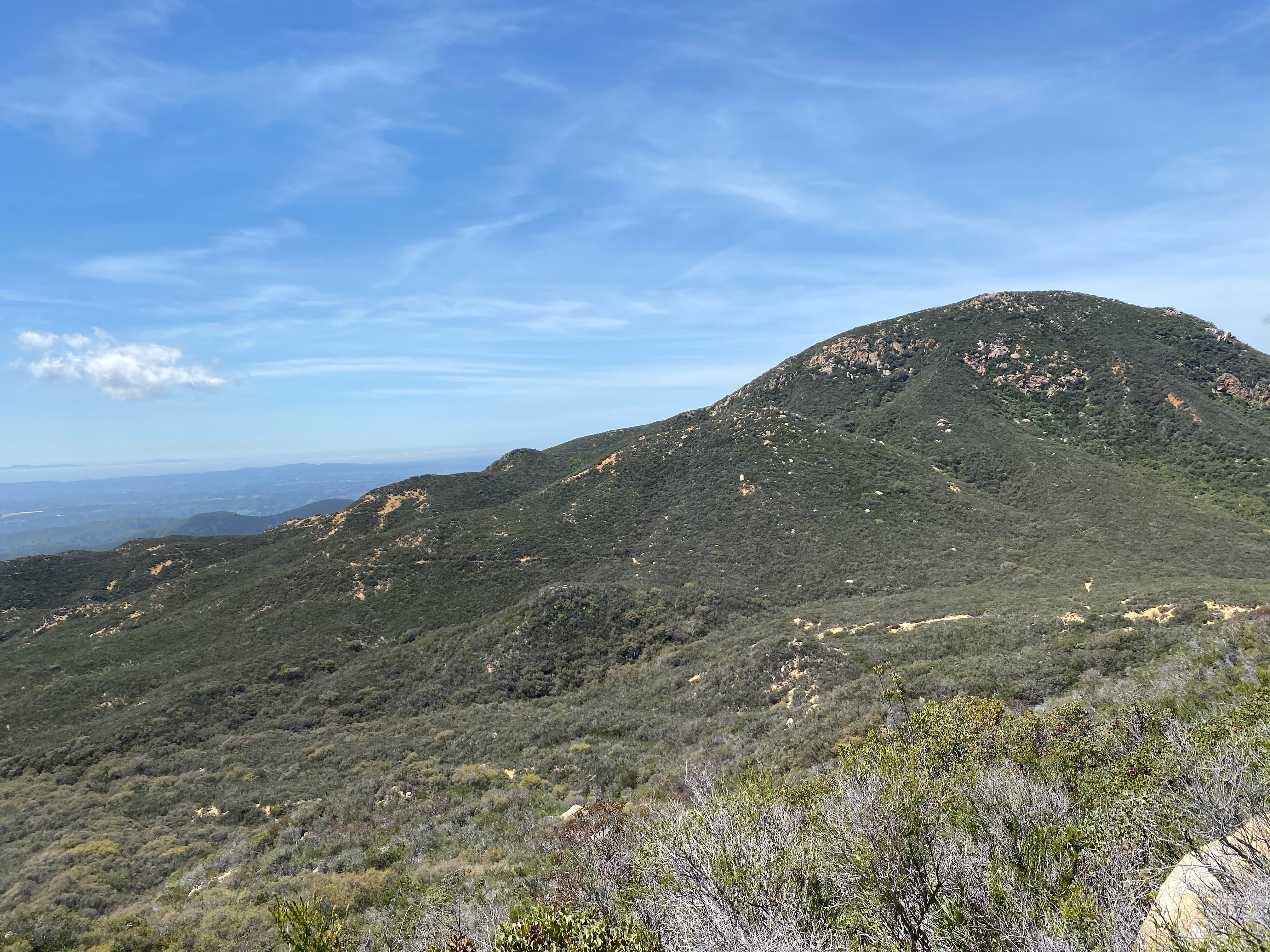
Traffic at that hour was light so I was still able to get to the parking spot by 8:00 am. Good thing I left early. Both the Lockwood Valley Road and Apache Canyon Road were luckily open as the gates were closed on all the other forest service roads I passed. Forest service road 24W06 is a pretty easy off-highyway route labelled trail 103 at the junction with Apache Canyon. There were a lot of dispersed campers in this beautiful area as I made my way up. I parked probably sooner than I needed to out of abundant caution. The road was surprisingly good.
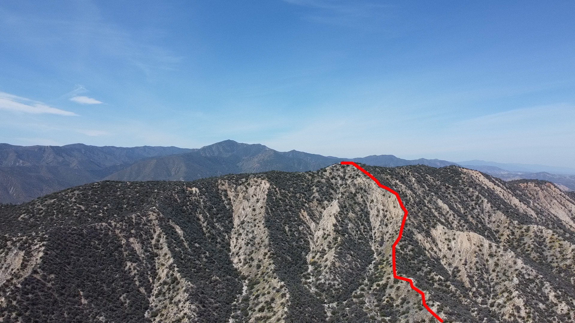
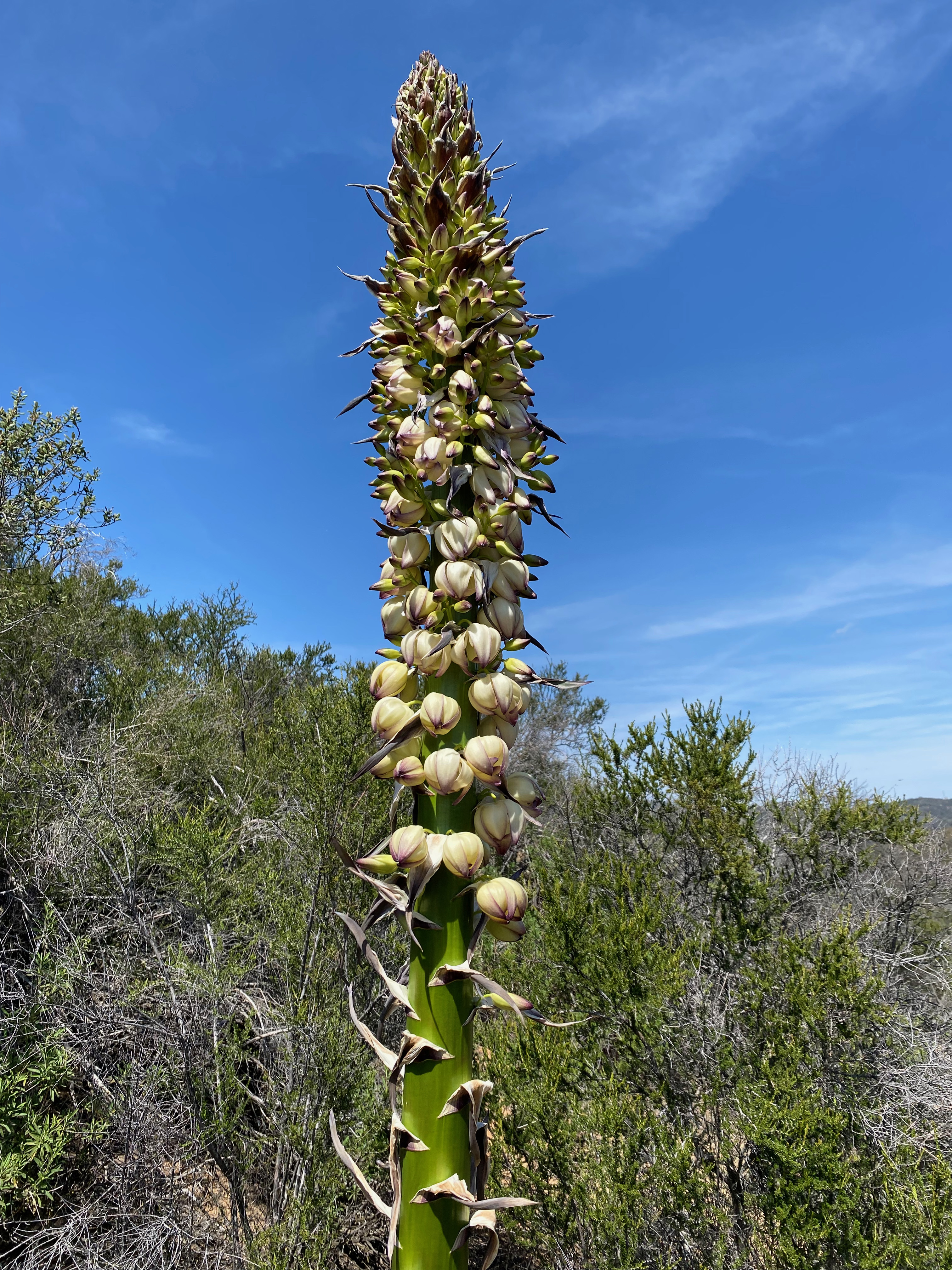
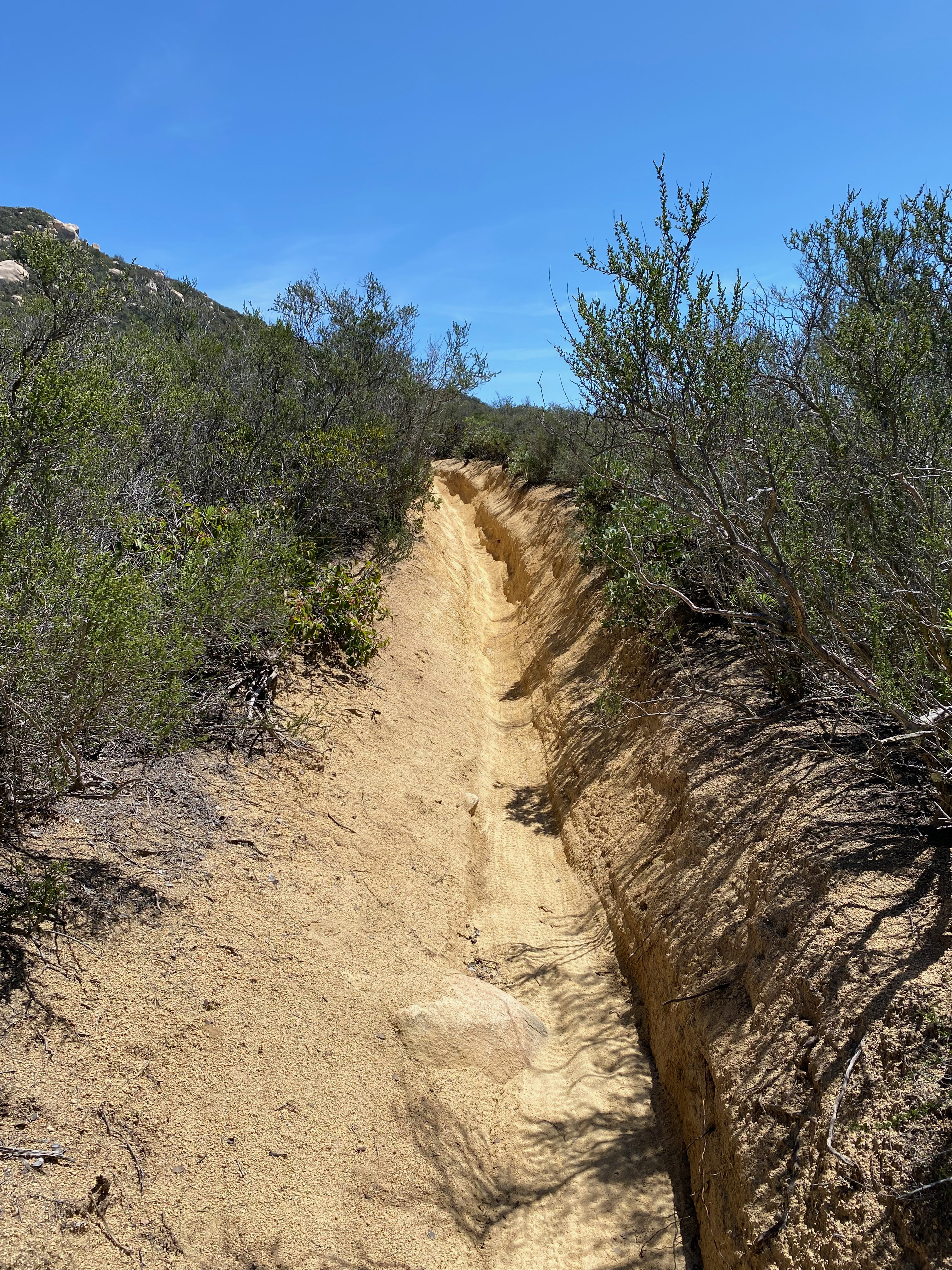
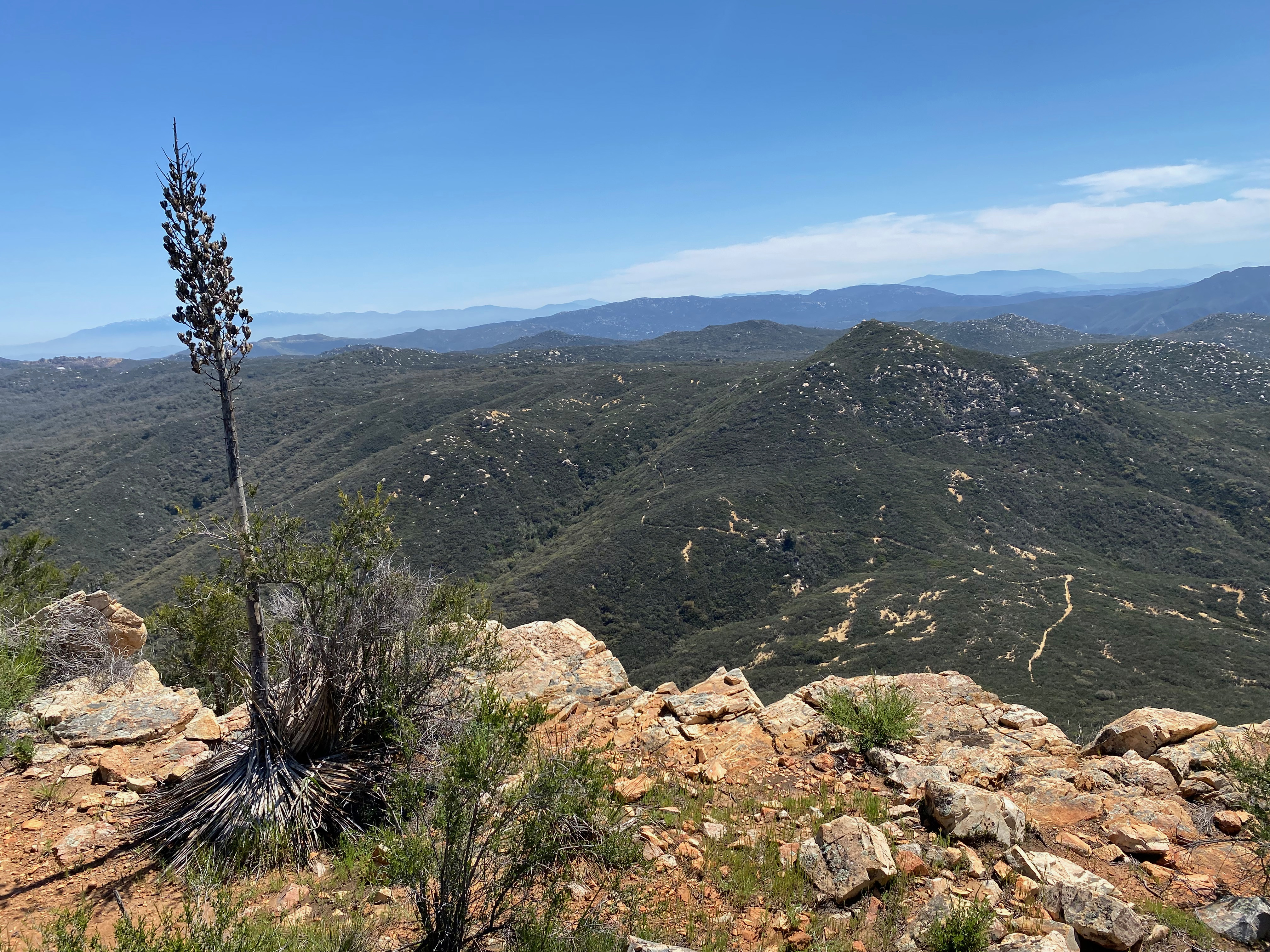
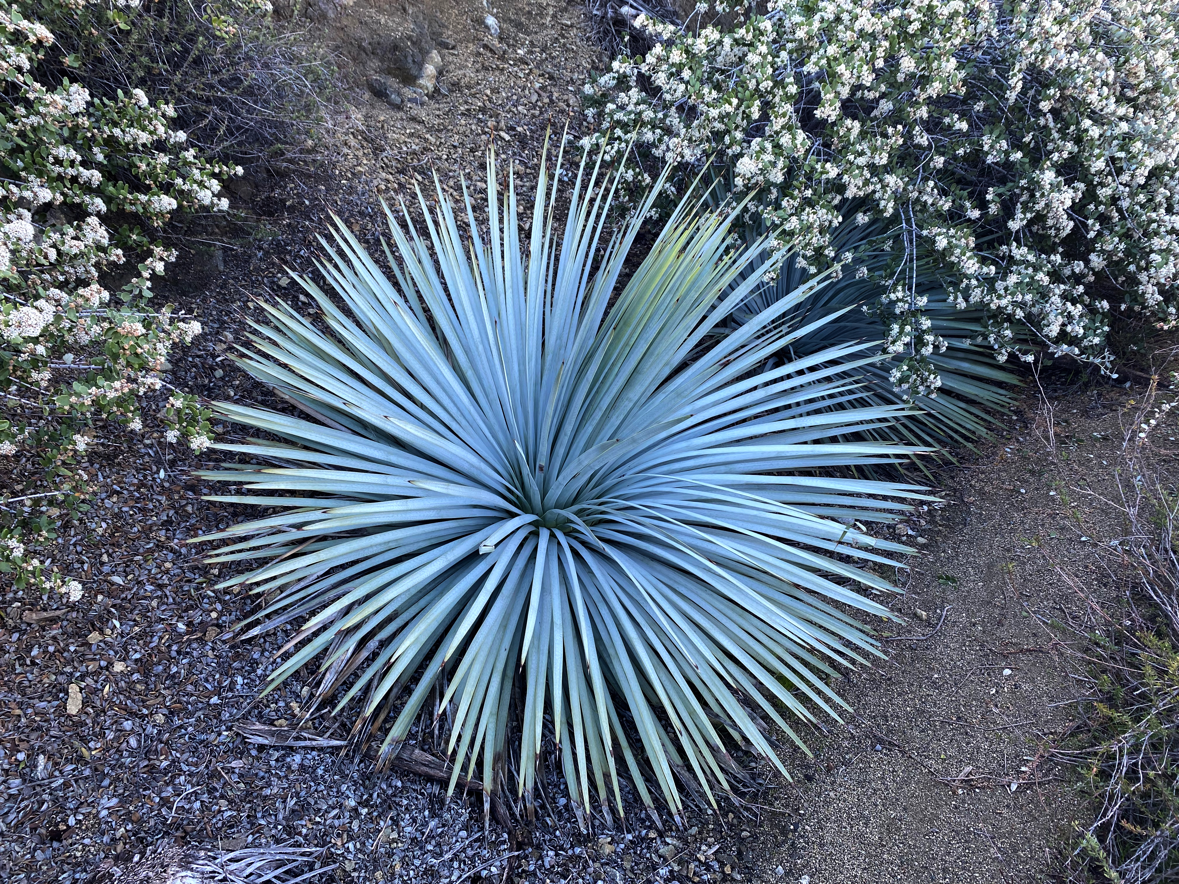
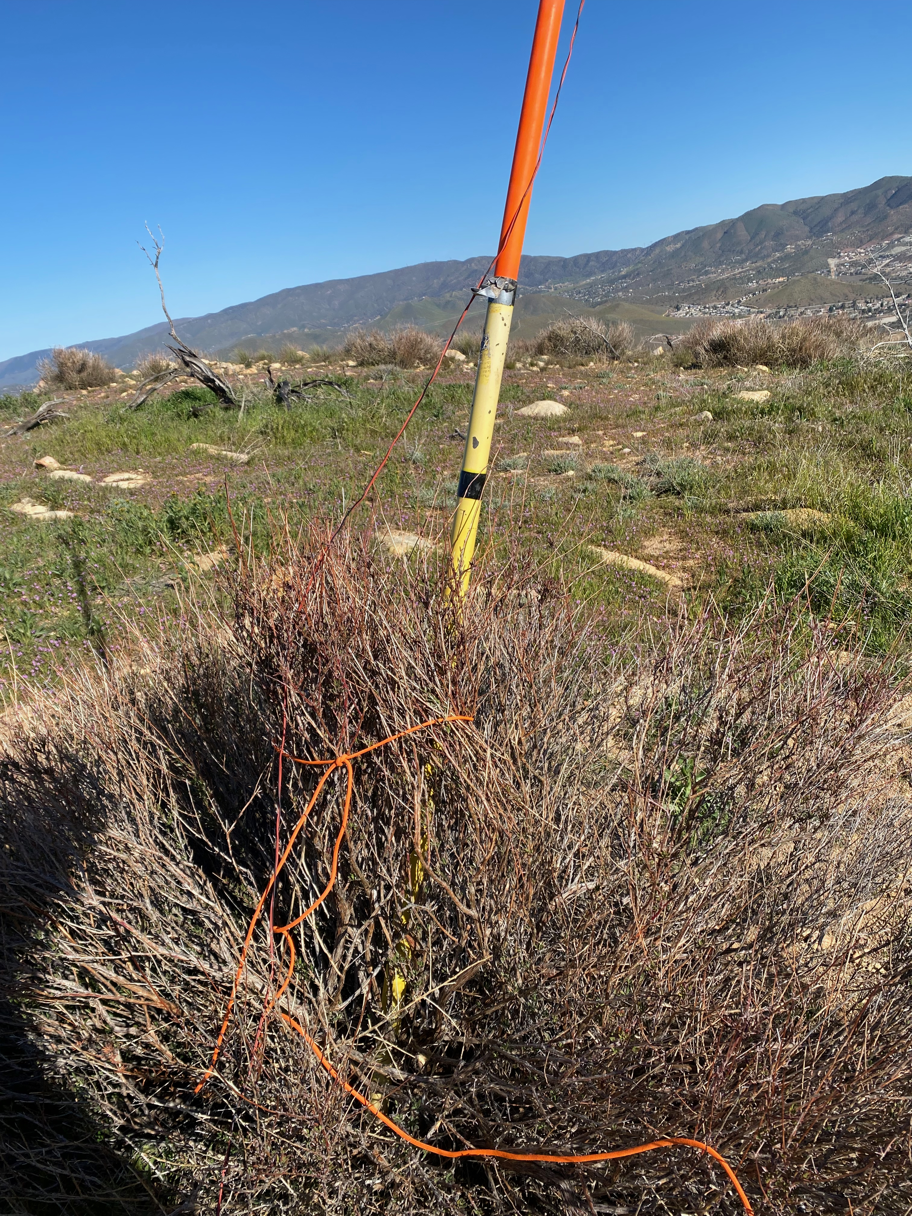
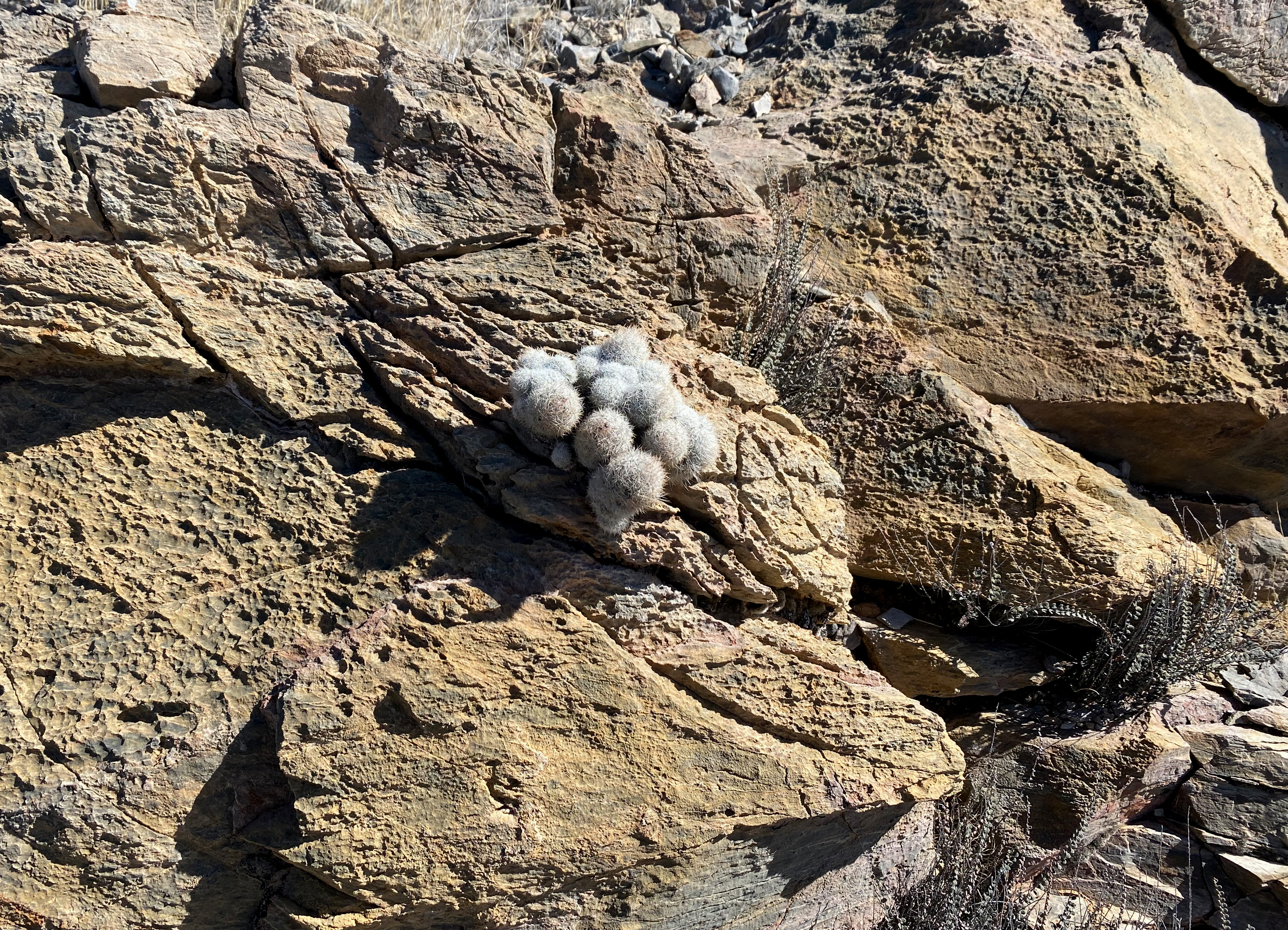
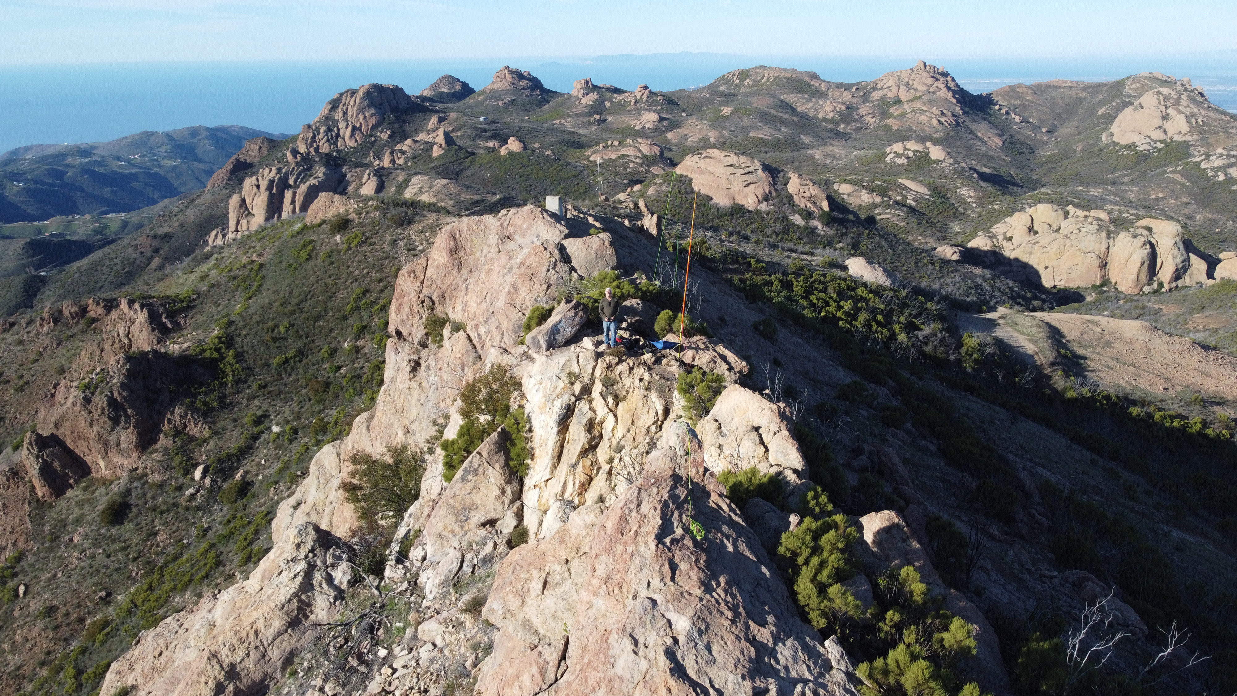
The route is completely cross country following faint deer tracks. In my case, literally following some fresh tracks. This route is very steep in places with some exposure that, while not deadly, is enough to warrant caution — especially for 67 year-old solo hikers. The brush is fairly easy to avoid, although I did get punctured by one of the numerous Yucca along the route. I also spotted some not-very-fresh mountain lion tracks.
Here is my track up for reference. I suggest that if you decide to go this way follow this track which is my descent track and, as usual, I found a better way down.
It had been 38ºF in Lockwood Valley as I came in and the morning was delightfully cool. Cool enough to minimize the rattlesnake threat on the way up.
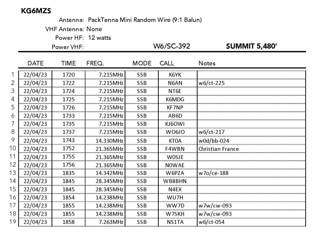
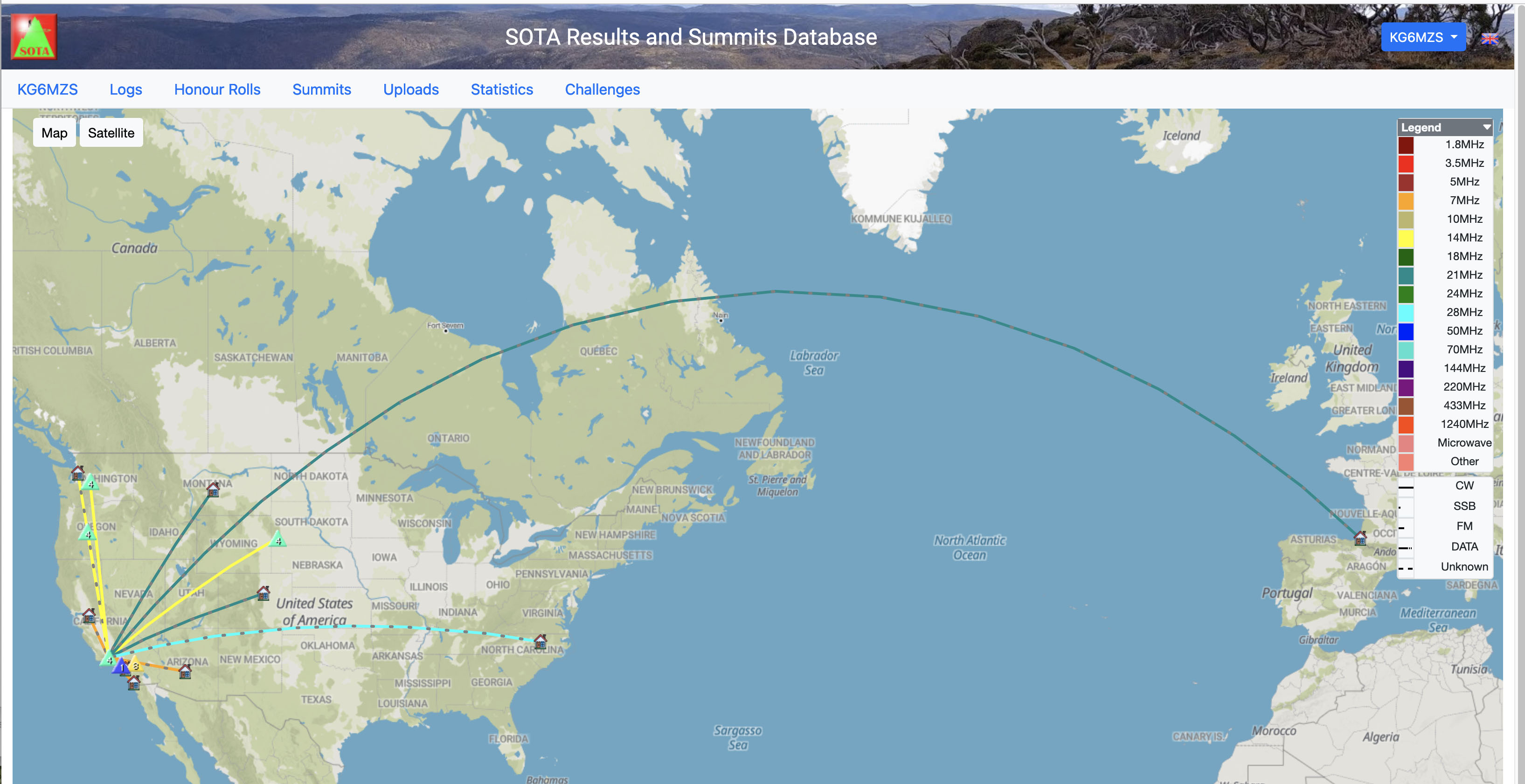
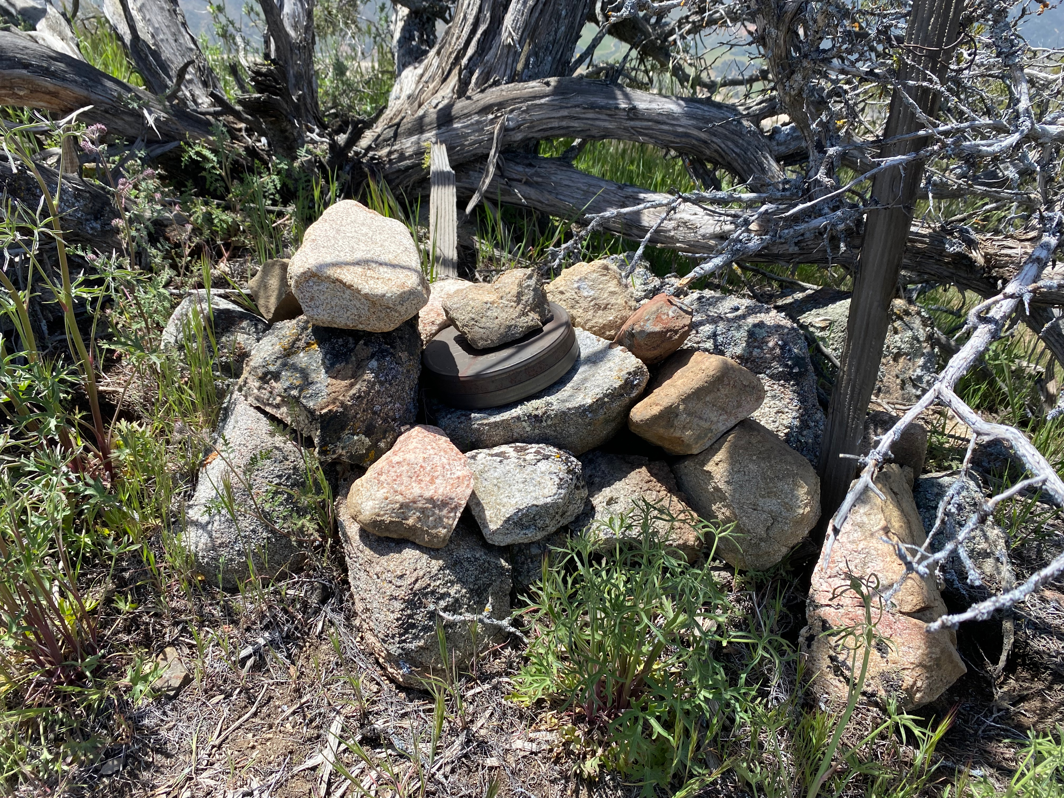
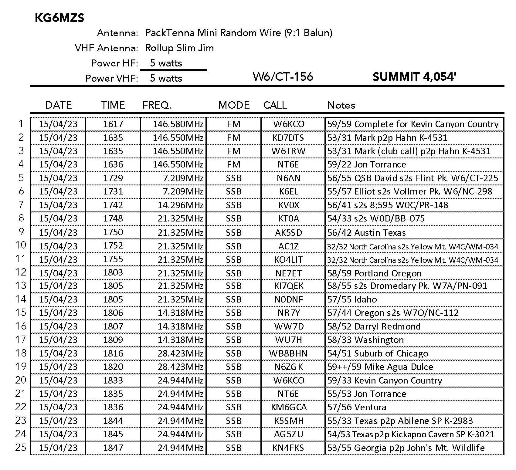
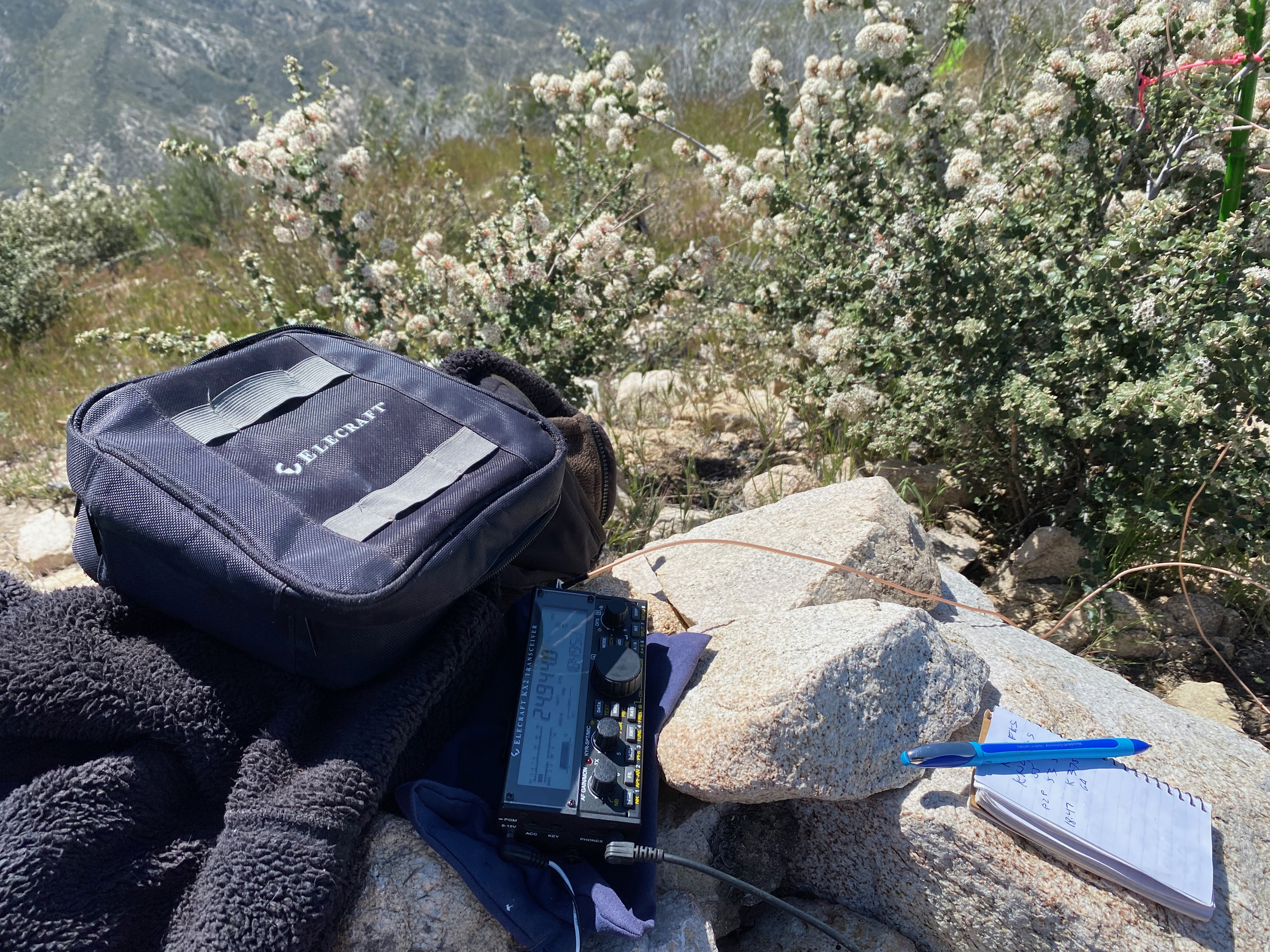
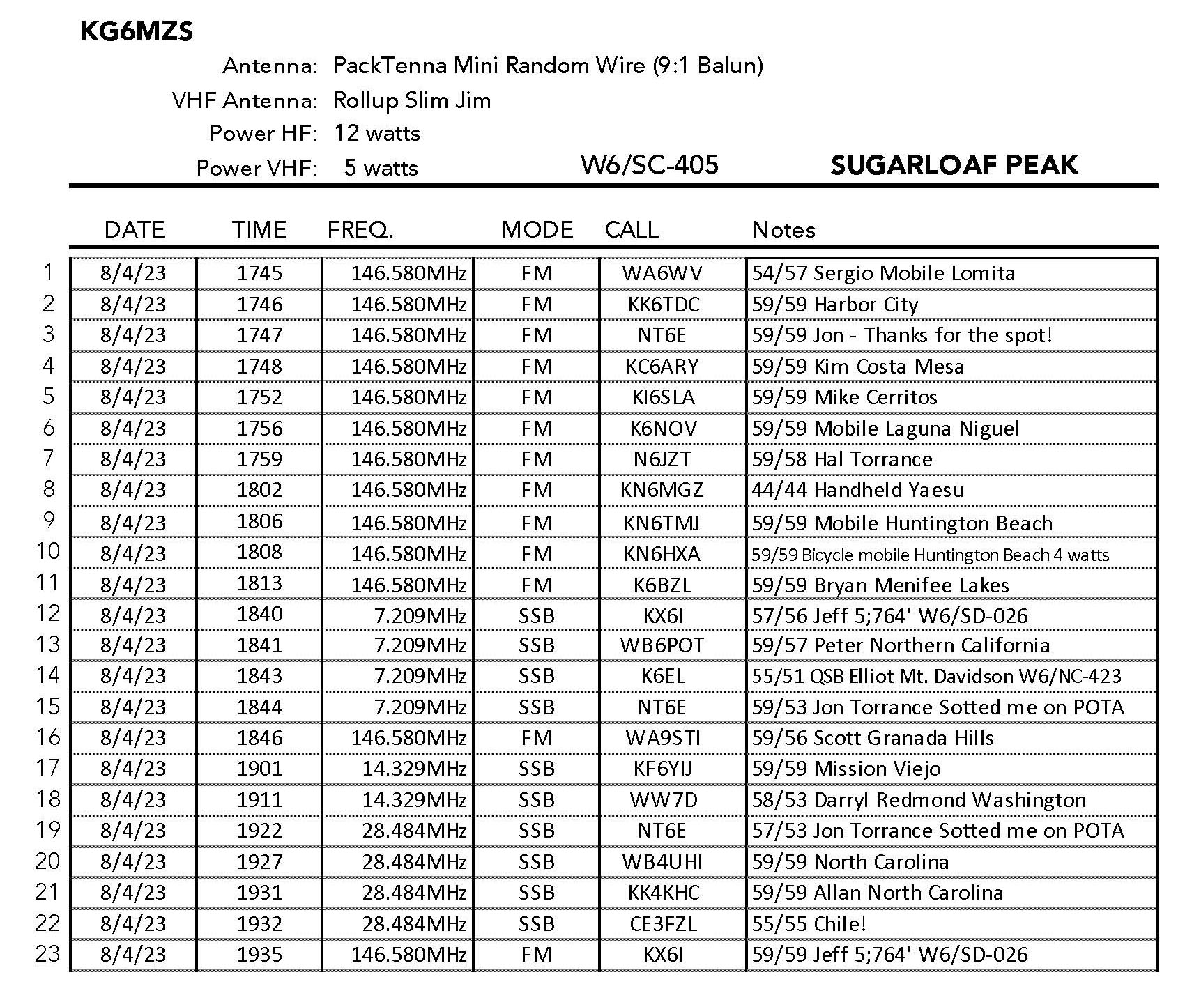
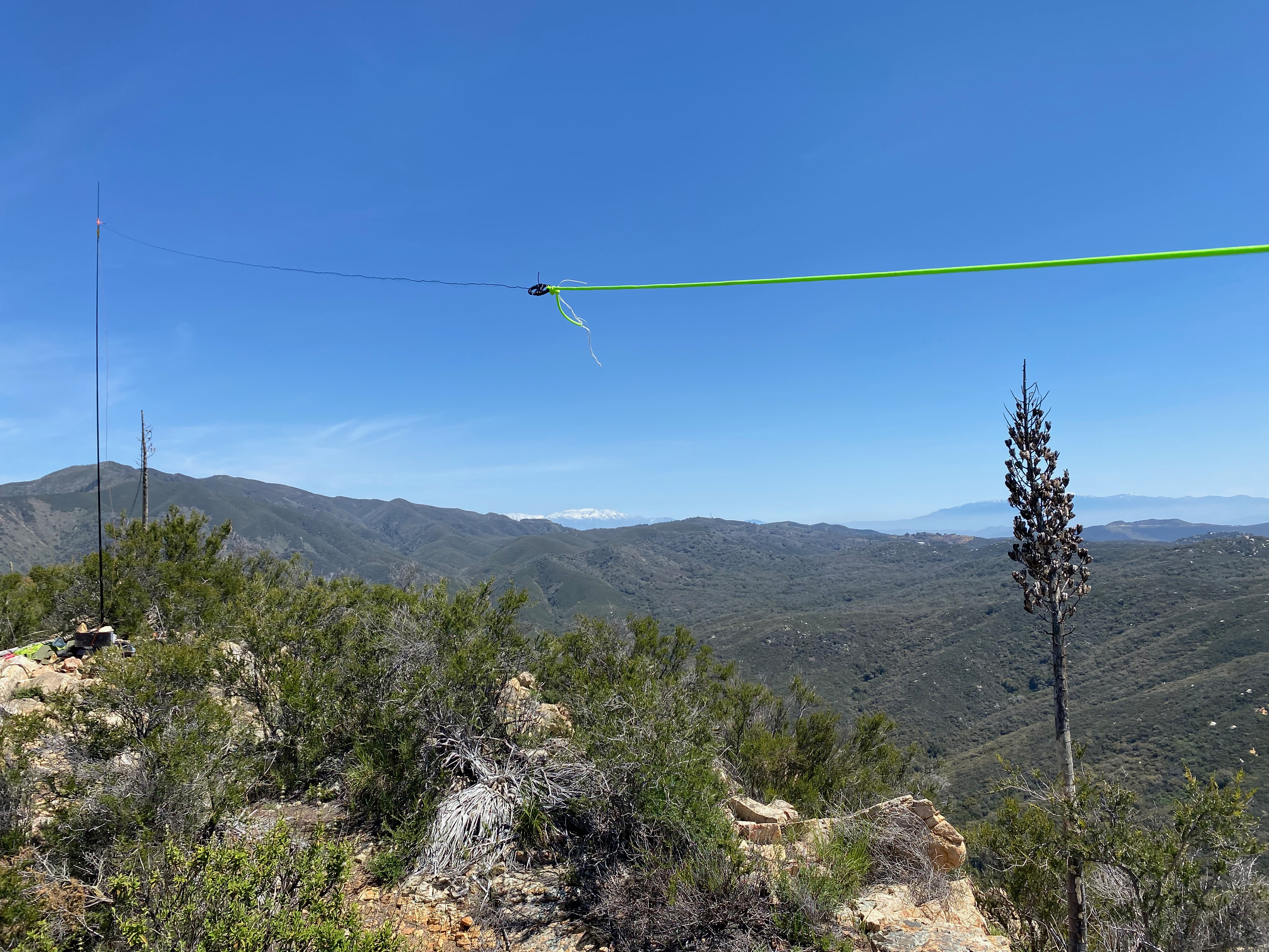
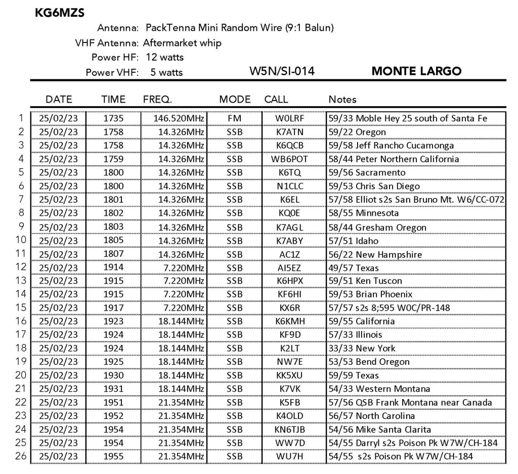
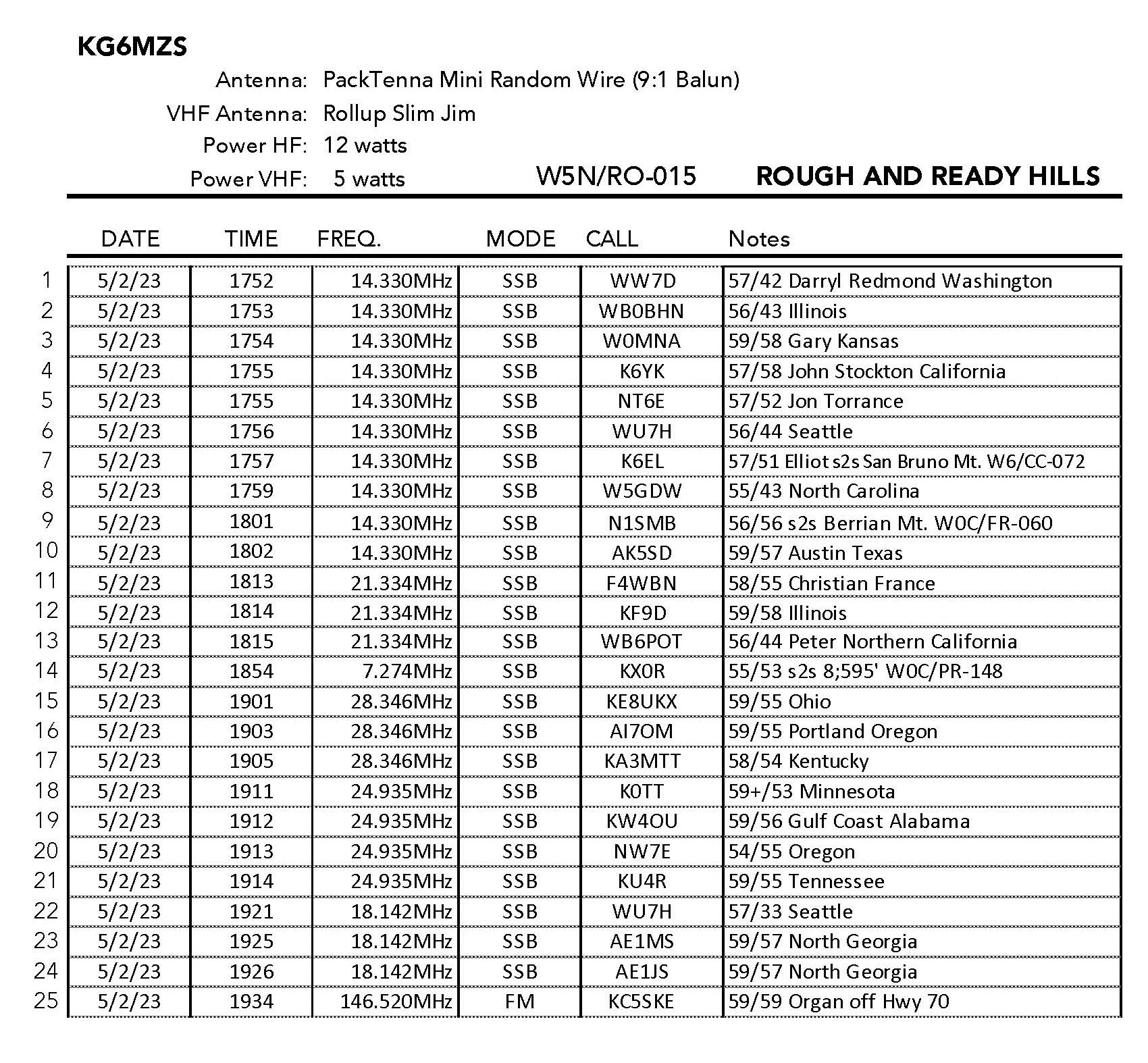
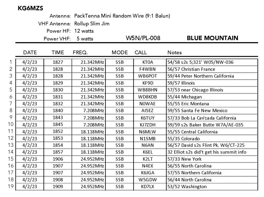
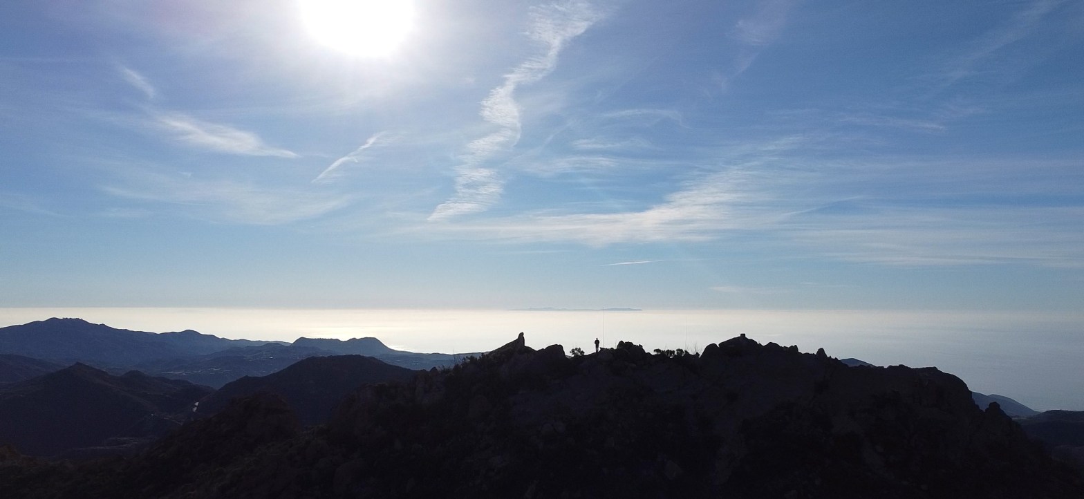
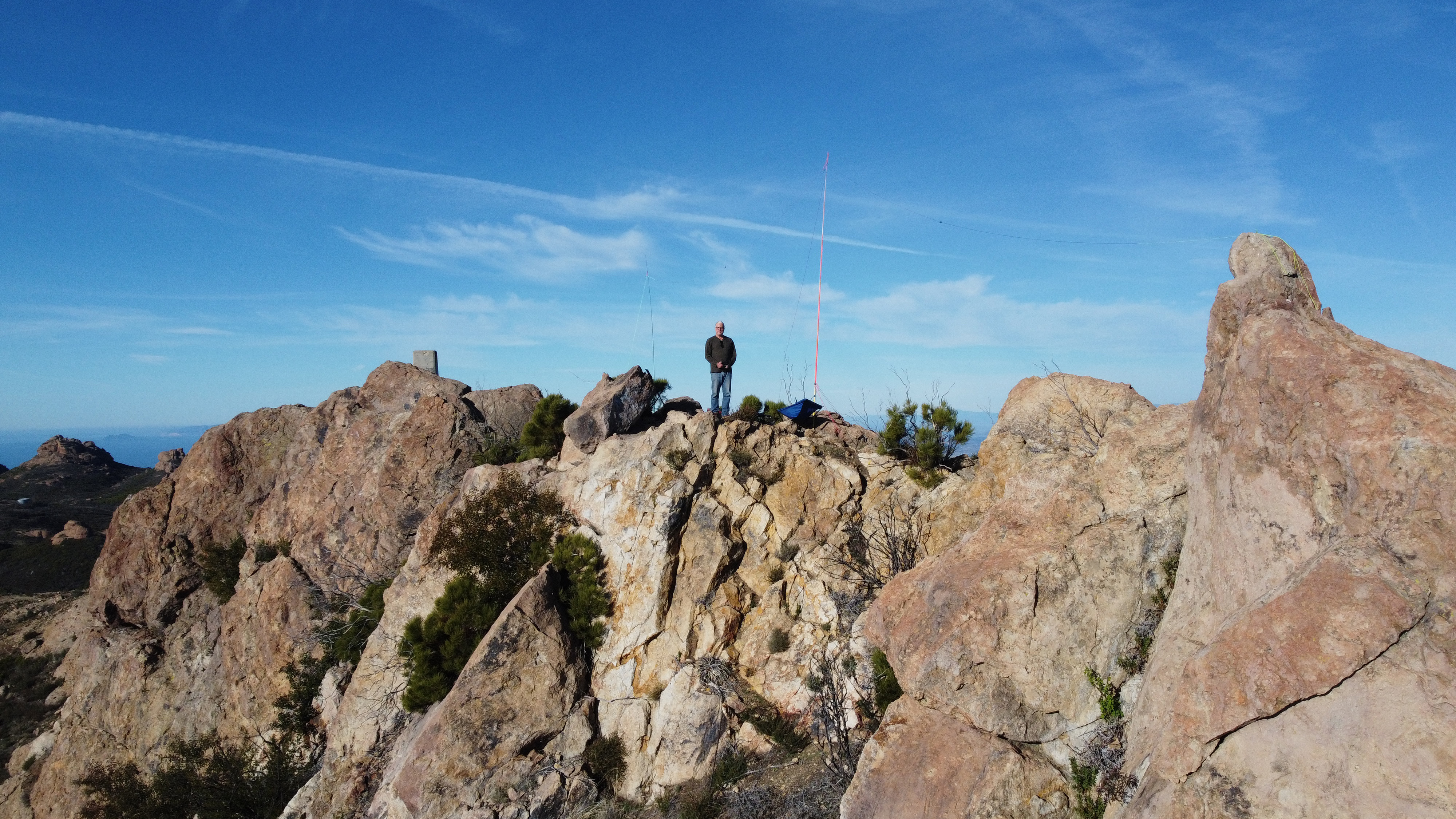
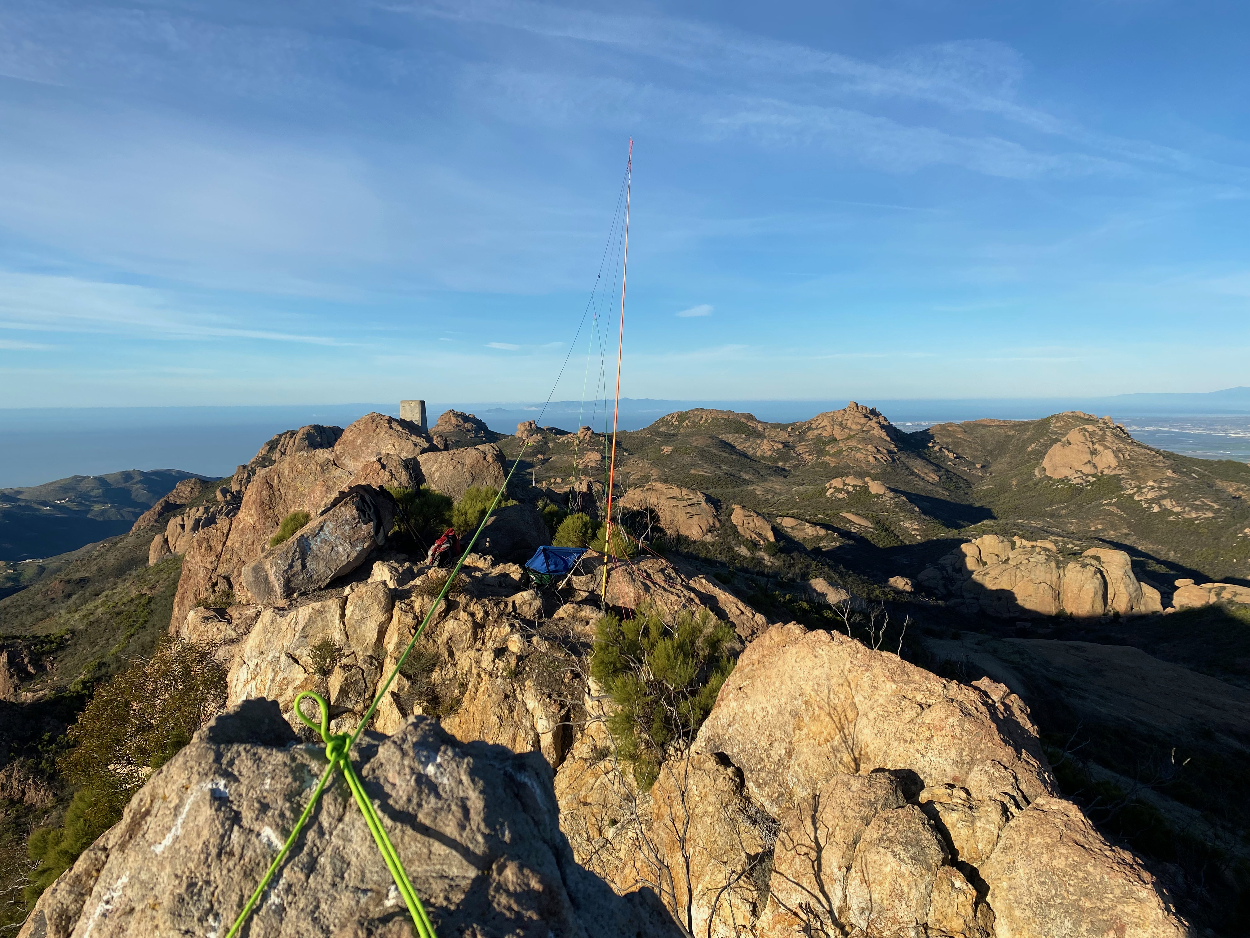
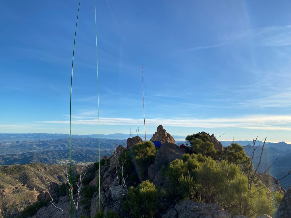
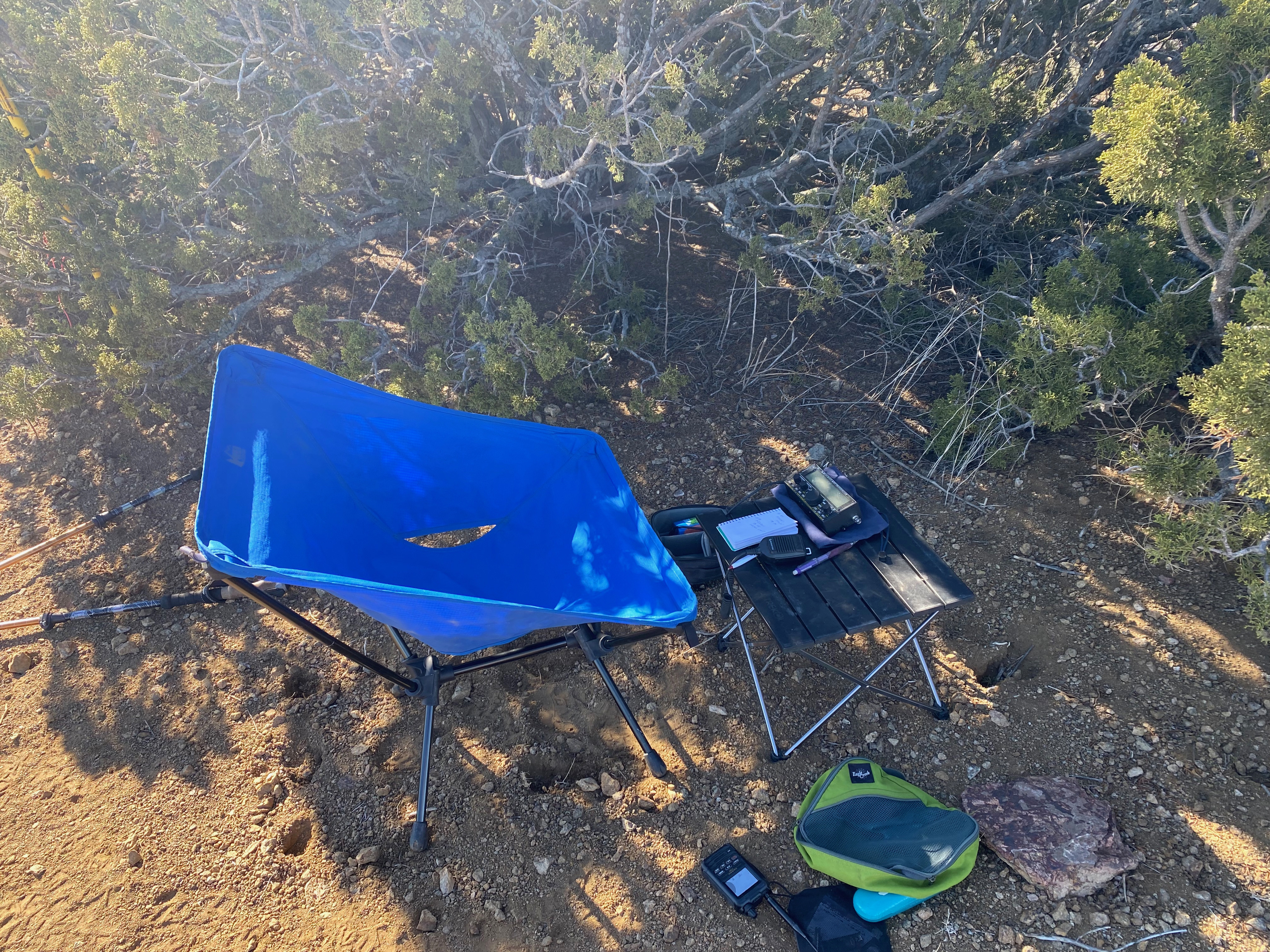
The activation was a real kick — 19 QSOs including 7 summit-to-summits. The longest QSO of the day was, who else, Christian F4WBN a strong 56 from France.


Leave a comment